552 Hc 64 Eufaula, OK 74432
Estimated Value: $330,028 - $410,000
About This Home
This home is located at 552 Hc 64, Eufaula, OK 74432 and is currently estimated at $370,014, approximately $260 per square foot. 552 Hc 64 is a home located in McIntosh County with nearby schools including Stidham Public School.
Ownership History
We collect this data history from publicly available records. To have your information removed, we recommend requesting removal directly through your county’s website.
Purchase Details
Purchase Details
Home Financials for this Owner
Home Financials are based on the most recent Mortgage that was taken out on this home.Purchase Details
Home Financials for this Owner
Home Financials are based on the most recent Mortgage that was taken out on this home.Purchase History
We collect this data history from publicly available records. To have your information removed, we recommend requesting removal directly through your county’s website.
| Date | Buyer | Sale Price | Title Company |
|---|---|---|---|
| $365,000 | Nations Title Of Okc | ||
| $195,000 | None Available | ||
| $260,000 | None Available |
Mortgage History
We collect this data history from publicly available records. To have your information removed, we recommend requesting removal directly through your county’s website.
| Date | Status | Borrower | Loan Amount |
|---|---|---|---|
| Previous Owner | $195,000 | ||
| Previous Owner | $213,460 |
Tax History
We collect this data history from publicly available records. To have your information removed, we recommend requesting removal directly through your county’s website.
| Year | Tax Paid | Tax Assessment Tax Assessment Total Assessment is a certain percentage of the fair market value that is determined by local assessors to be the total taxable value of land and additions on the property. | Land | Improvement |
|---|---|---|---|---|
| 2025 | $23 | $314 | $314 | $0 |
| 2024 | $23 | $314 | $314 | $0 |
| 2023 | $23 | $296 | $296 | $0 |
| 2022 | $23 | $296 | $296 | $0 |
| 2021 | $106 | $1,388 | $1,388 | $0 |
| 2020 | $890 | $11,686 | $1,752 | $9,934 |
| 2019 | $890 | $11,686 | $1,752 | $9,934 |
| 2018 | $890 | $11,685 | $1,752 | $9,933 |
| 2017 | $332 | $4,356 | $653 | $3,703 |
| 2016 | $322 | $4,229 | $655 | $3,574 |
| 2015 | $204 | $3,683 | $225 | $3,458 |
| 2014 | $196 | $3,575 | $218 | $3,357 |
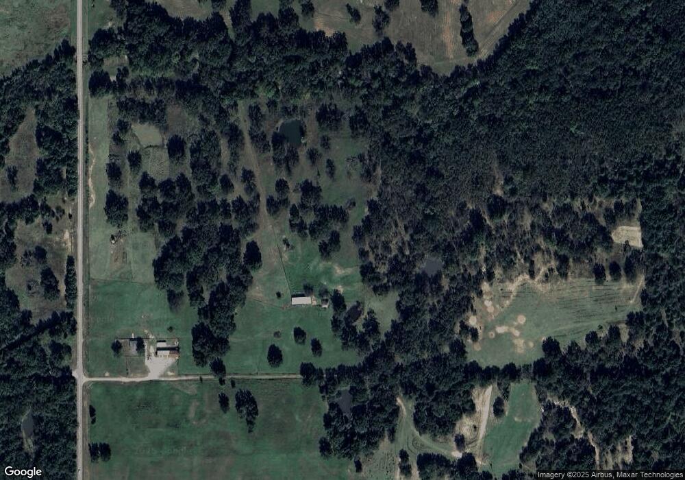
Map
- 114108 S 4110 Rd
- 052 S 4110 Rd
- 0 S 4110 Rd
- 1 Ns 4120th Rd
- 28 E 1170 Rd
- 0000 N4100 Rd
- 425275 E 1170 Rd
- 0 E Ave Unit 104 1153066
- 409748 E 1160 Rd
- 411064 E1180 Rd
- TBD S 4110 Rd
- 118188 S 4110 Rd
- 0000 N 4100 Rd
- 410800 E 1135 Rd
- 19 Breckenridge St
- 115302 S 4140 Rd
- 413285 E 1140 Rd
- 64 3745
- 117292 S 4140 Rd
- 0 1 8 Acres E 1168 Rd
Ask me questions while you tour the home.