552 N Walnut St Fowler, MI 48835
Estimated Value: $285,000 - $324,000
2
Beds
2
Baths
1,576
Sq Ft
$195/Sq Ft
Est. Value
About This Home
This home is located at 552 N Walnut St, Fowler, MI 48835 and is currently estimated at $307,408, approximately $195 per square foot. 552 N Walnut St is a home located in Clinton County with nearby schools including Waldron Elementary/Middle School, Fowler High School, and Most Holy Trinity School.
Ownership History
Date
Name
Owned For
Owner Type
Purchase Details
Closed on
Jun 10, 2021
Sold by
Feldpausch Dennis J and Klein Carol M
Bought by
Koenigsknecht Ryan P and Bengel Hannah L
Current Estimated Value
Home Financials for this Owner
Home Financials are based on the most recent Mortgage that was taken out on this home.
Original Mortgage
$215,600
Outstanding Balance
$195,199
Interest Rate
2.9%
Mortgage Type
New Conventional
Estimated Equity
$112,209
Purchase Details
Closed on
May 27, 2005
Sold by
Feldpausch Donald J and Feldpausch Joann P
Bought by
Feldpausch Joann P and Feldpausch Donald J
Create a Home Valuation Report for This Property
The Home Valuation Report is an in-depth analysis detailing your home's value as well as a comparison with similar homes in the area
Purchase History
| Date | Buyer | Sale Price | Title Company |
|---|---|---|---|
| Koenigsknecht Ryan P | $245,000 | None Available | |
| Feldpausch Joann P | -- | -- |
Source: Public Records
Mortgage History
| Date | Status | Borrower | Loan Amount |
|---|---|---|---|
| Open | Koenigsknecht Ryan P | $215,600 |
Source: Public Records
Tax History
| Year | Tax Paid | Tax Assessment Tax Assessment Total Assessment is a certain percentage of the fair market value that is determined by local assessors to be the total taxable value of land and additions on the property. | Land | Improvement |
|---|---|---|---|---|
| 2025 | $3,114 | $133,000 | $36,400 | $96,600 |
| 2024 | $23 | $127,200 | $29,400 | $97,800 |
| 2023 | $2,181 | $115,600 | $0 | $0 |
| 2022 | $3,662 | $104,300 | $21,000 | $83,300 |
| 2021 | $2,457 | $93,000 | $20,200 | $72,800 |
| 2020 | $2,377 | $84,700 | $15,500 | $69,200 |
| 2019 | $2,001 | $80,500 | $13,200 | $67,300 |
| 2018 | $1,442 | $73,400 | $12,700 | $60,700 |
| 2017 | -- | $73,100 | $13,500 | $59,600 |
| 2016 | -- | $63,700 | $13,500 | $50,200 |
| 2015 | -- | $64,300 | $0 | $0 |
| 2011 | -- | $74,300 | $0 | $0 |
Source: Public Records
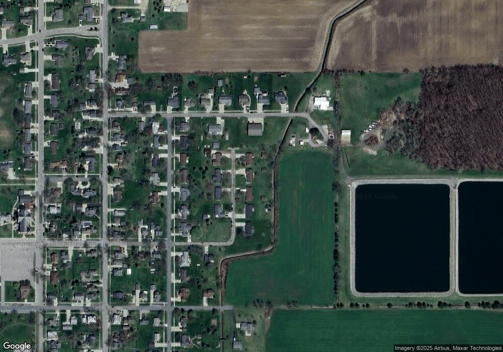
Map
Nearby Homes
- 11040 W Ionia St
- Lot 8 N Wright Rd
- 11138 W 2nd St
- 11059 W M21
- 982 Norway Dr
- 528 S Main St
- 12767 W M21
- 9515 W Moss Rd
- 0 Yates St
- 4740 S Francis Rd
- 5550 Paxton Rd
- 0 W Colony Unit 286993
- 0 W Colony Unit 292916
- 7240 Empire Rd
- 8150 Idared Rd
- 8095 Mcintosh Rd
- 132 E Washington St
- 129 E Main St
- 220 N Maple Ave
- TBD E Main St
Your Personal Tour Guide
Ask me questions while you tour the home.