552 W 1250 N Centerville, UT 84014
Estimated Value: $427,815 - $454,000
3
Beds
2
Baths
1,617
Sq Ft
$273/Sq Ft
Est. Value
About This Home
This home is located at 552 W 1250 N, Centerville, UT 84014 and is currently estimated at $441,454, approximately $273 per square foot. 552 W 1250 N is a home located in Davis County with nearby schools including Stewart Elementary School, Centerville Jr High, and Viewmont High School.
Ownership History
Date
Name
Owned For
Owner Type
Purchase Details
Closed on
Dec 24, 2019
Sold by
Farr Kerry K
Bought by
Farr Kerry K and Kerry K Farr Living Trust
Current Estimated Value
Purchase Details
Closed on
Aug 15, 2012
Sold by
Rockelman Marilynn
Bought by
Farr Kerry K
Purchase Details
Closed on
Nov 22, 2011
Sold by
Backus Billy Joe
Bought by
Rockelman Marilynn
Purchase Details
Closed on
Aug 29, 2011
Sold by
Bybee Leland P
Bought by
Backus Billy Joe and Bybee Family Trust
Create a Home Valuation Report for This Property
The Home Valuation Report is an in-depth analysis detailing your home's value as well as a comparison with similar homes in the area
Purchase History
We collect this data history from publicly available records. To have your information removed, we recommend requesting removal directly through your county’s website.
| Date | Buyer | Sale Price | Title Company |
|---|---|---|---|
| Farr Kerry K | -- | None Available | |
| Farr Kerry K | -- | Backman Title Servic | |
| Rockelman Marilynn | -- | None Available | |
| Backus Billy Joe | -- | None Available |
Source: Public Records
Tax History
| Year | Tax Paid | Tax Assessment Tax Assessment Total Assessment is a certain percentage of the fair market value that is determined by local assessors to be the total taxable value of land and additions on the property. | Land | Improvement |
|---|---|---|---|---|
| 2025 | $2,407 | $220,550 | $72,050 | $148,500 |
| 2024 | $617 | $215,600 | $55,000 | $160,600 |
| 2023 | $2,345 | $399,000 | $98,000 | $301,000 |
| 2022 | $546 | $221,650 | $52,800 | $168,850 |
| 2021 | $1,981 | $288,000 | $69,000 | $219,000 |
| 2020 | $1,727 | $250,000 | $64,500 | $185,500 |
| 2019 | $521 | $244,000 | $62,000 | $182,000 |
| 2018 | $404 | $216,000 | $58,000 | $158,000 |
| 2016 | $233 | $100,320 | $19,800 | $80,520 |
| 2015 | $1,221 | $90,365 | $19,800 | $70,565 |
| 2014 | $295 | $93,786 | $18,333 | $75,453 |
| 2013 | -- | $98,335 | $20,900 | $77,435 |
Source: Public Records
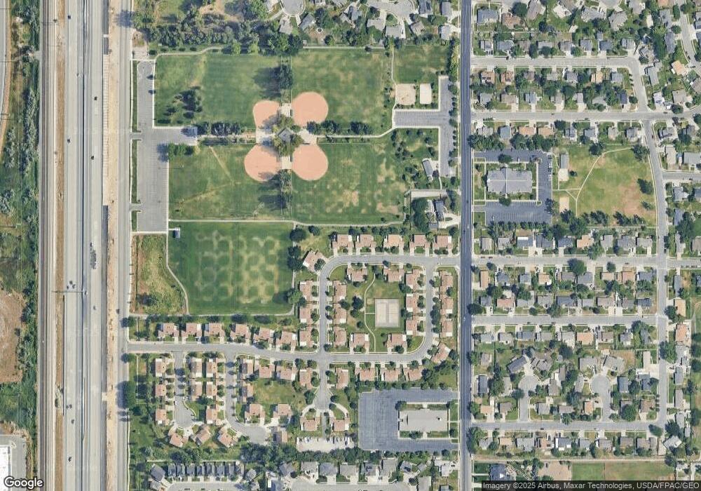
Map
Nearby Homes
- 1166 N 700 W
- 732 W 1175 N
- 1171 N 725 W
- 290 W 1350 N
- 371 W 1125 N
- 257 W 1125 N
- 271 Brookfield Ln
- 914 N 400 W
- 1549 N 400 W
- 1333 W 1275 N Unit 3
- 1357 W 1275 N Unit 4
- 523 Mountain View Rd
- 165 W Pheasantbrook Dr
- 43 Peachtree Dr
- 1167 Deerfield Dr
- 66 Brookside Ln
- 527 W 620 N Unit 133
- 507 W 620 N
- 281 W 650 N Unit B
- 282 W 605 N Unit A
Your Personal Tour Guide
Ask me questions while you tour the home.