Estimated Value: $253,000 - $648,000
About This Home
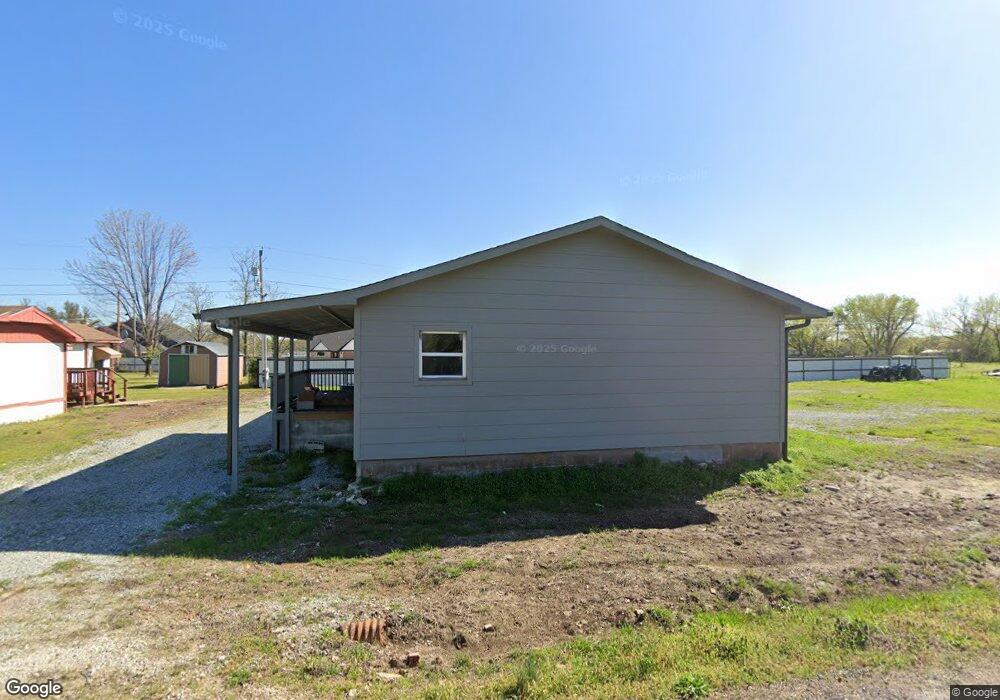
This home is located at 55267 E 297 Rd, Afton, OK 74331 and is currently estimated at $390,739, approximately $206 per square foot. 55267 E 297 Rd is a home located in Delaware County with nearby schools including Grove Lower Elementary School, Grove Upper Elementary School, and Grove Middle School.
Ownership History
We collect this data history from publicly available records. To have your information removed, we recommend requesting removal directly through your county’s website.
Purchase Details
Purchase Details
Purchase Details
Purchase Details
Purchase History
We collect this data history from publicly available records. To have your information removed, we recommend requesting removal directly through your county’s website.
| Date | Buyer | Sale Price | Title Company |
|---|---|---|---|
| -- | None Available | ||
| $24,000 | None Available | ||
| -- | Nas Dept Meridian Title Corp | ||
| $49,000 | -- |
Tax History
We collect this data history from publicly available records. To have your information removed, we recommend requesting removal directly through your county’s website.
| Year | Tax Paid | Tax Assessment Tax Assessment Total Assessment is a certain percentage of the fair market value that is determined by local assessors to be the total taxable value of land and additions on the property. | Land | Improvement |
|---|---|---|---|---|
| 2025 | $783 | $8,344 | $824 | $7,520 |
| 2024 | $745 | $7,947 | $785 | $7,162 |
| 2023 | $745 | $7,303 | $686 | $6,617 |
| 2022 | $662 | $7,303 | $663 | $6,640 |
| 2021 | $632 | $6,956 | $663 | $6,293 |
| 2020 | $620 | $6,309 | $663 | $5,646 |
| 2019 | $976 | $9,685 | $663 | $9,022 |
| 2018 | $863 | $9,393 | $663 | $8,730 |
| 2017 | $851 | $9,235 | $663 | $8,572 |
| 2016 | $471 | $8,677 | $663 | $8,014 |
| 2015 | $454 | $5,870 | $437 | $5,433 |
| 2014 | $441 | $5,700 | $429 | $5,271 |
Map
- 55275 E 298 Rd Unit 1
- 55275 E 298 Rd Unit no. 5
- 55430 E 298 Rd
- 0 Tbd S 555 Rd & E 290 Rd Unit 25-1940
- TBD S Rd
- 30311 S 555 #24 Rd
- 56107 E 300 Rd
- 30313 S 561 Rd
- 27 Circle Dr
- 1 Port Duncan Blvd
- 29 Circle Dr
- 31 Circle Dr
- 14 Missouri Dr
- 30 Circle Dr
- 0000 Missouri Dr
- 10 Privateer Dr
- 3 Kansas Dr
- 0 Airport Rd
- TBD LOT #7 Airport Rd
- Lot #10 Airport Rd
- 55285 E 297 Rd
- null E 298 Rd
- 0 E 297 & Stubbs Rd Unit 1946170
- 55250 E 297 Rd
- 55325 E 297 Rd
- 0 E 297
- 000000 E 297
- 55213 E 297 Rd
- 55275 E 298 Rd Unit 1
- 55275 E 298 Rd Unit 3
- 55275 E 298 Rd Unit 5
- 55275 E 298 Rd
- 55275 E 298 Rd
- East E 297
- 29750 S 552 Rd
- 55275 E 298 Rd Unit 22-69
- 29798 S 552 Rd
- 29780 S 552 Rd
- 55366 E 298 Rd
- 29761 S 552 Rd
Ask me questions while you tour the home.