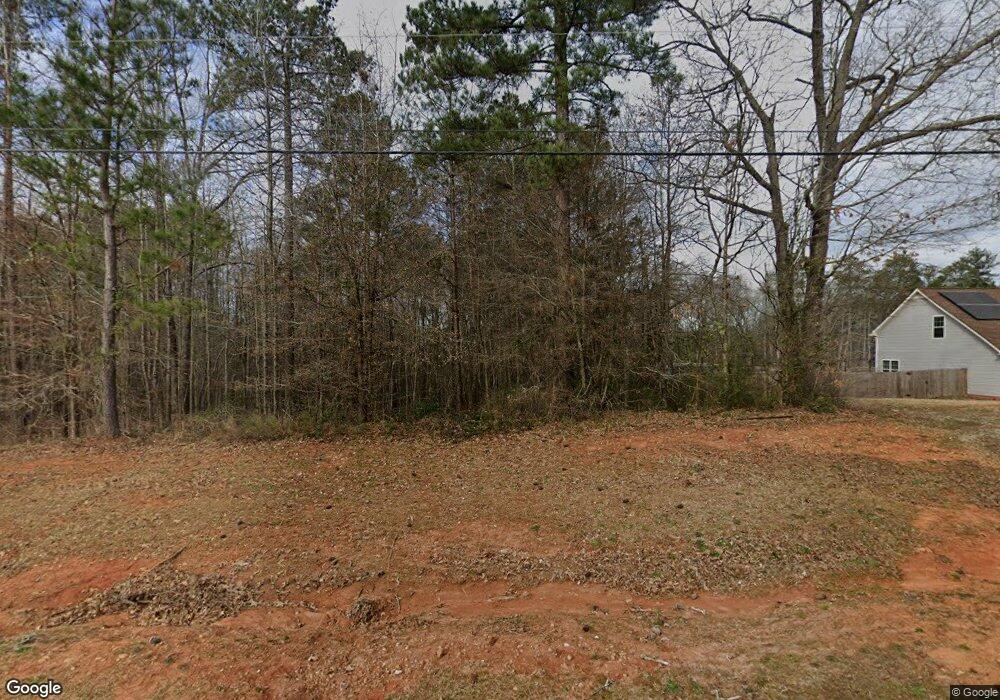
553 Cook Rd Griffin, GA 30224
Estimated Value: $452,000 - $854,260
About This Home
This home is located at 553 Cook Rd, Griffin, GA 30224 and is currently estimated at $630,753, approximately $245 per square foot. 553 Cook Rd is a home located in Lamar County with nearby schools including Lamar County Primary School, Lamar County Elementary School, and Lamar County Middle School.
Ownership History
We collect this data history from publicly available records. To have your information removed, we recommend requesting removal directly through your county’s website.
Purchase Details
Purchase Details
Purchase Details
Purchase Details
Purchase Details
Purchase History
We collect this data history from publicly available records. To have your information removed, we recommend requesting removal directly through your county’s website.
| Date | Buyer | Sale Price | Title Company |
|---|---|---|---|
| -- | -- | ||
| -- | -- | ||
| -- | -- | ||
| $114,900 | -- | ||
| $97,700 | -- | ||
| $146,100 | -- |
Tax History
We collect this data history from publicly available records. To have your information removed, we recommend requesting removal directly through your county’s website.
| Year | Tax Paid | Tax Assessment Tax Assessment Total Assessment is a certain percentage of the fair market value that is determined by local assessors to be the total taxable value of land and additions on the property. | Land | Improvement |
|---|---|---|---|---|
| 2025 | $5,940 | $270,700 | $93,826 | $176,874 |
| 2024 | $5,864 | $242,350 | $93,826 | $148,524 |
| 2023 | $5,962 | $229,238 | $93,826 | $135,412 |
| 2022 | $5,600 | $216,118 | $79,508 | $136,610 |
| 2021 | $5,367 | $191,976 | $79,508 | $112,468 |
| 2020 | $5,615 | $190,847 | $83,183 | $107,664 |
| 2019 | $5,006 | $171,207 | $83,183 | $88,024 |
| 2018 | $4,807 | $171,207 | $83,183 | $88,024 |
| 2017 | $4,805 | $171,207 | $83,183 | $88,024 |
| 2016 | $4,830 | $171,207 | $83,183 | $88,024 |
| 2015 | $2,904 | $171,207 | $83,183 | $88,024 |
| 2014 | $2,807 | $171,207 | $83,183 | $88,024 |
| 2013 | -- | $171,206 | $83,183 | $88,023 |
Map
- 132 Benfranklin Ct
- 10 Liberty Hill Rd
- 676 Lake Park North Dr
- 190 Calhoun Rd
- 206 McKneely Rd
- 151 Evans Rd
- 541B Ellis Dairy Rd
- 1911 Barnesville Rd
- 149 Bridle Path
- 245 Kennelsman Dr
- 153 Kennelsman Dr
- 159 Kennelsman Dr
- 148 Kennelsman Dr
- 162 Kennelsman Dr
- 168 Kennelsman Dr
- 118 Ridgeway Rd
- 182 Kennelsman Dr
- 234 Kennelsman Dr
- 180 Barnesville Rd
- 117 Bridle Path
- 247 Pleasant Rd
- 557 Cook Rd
- 317 Liberty Bell Ln
- 311 Liberty Bell Ln
- 545 Cook Rd
- 335 Liberty Bell Ln
- 341 Liberty Bell Ln
- 299 Liberty Bell Ln
- 343 Liberty Bell Ln
- 293 Liberty Bell Ln
- 287 Liberty Bell Ln
- 103 Independent Ct
- 102 Independent Ct
- 289 Pleasant Rd
- 334 Liberty Bell Ln
- 108 Johnhancock Ct
- 342 Liberty Bell Ln
- 502 McKneely Rd
- 340 Liberty Bell Ln
- 103 John Hancock Ct
Ask me questions while you tour the home.