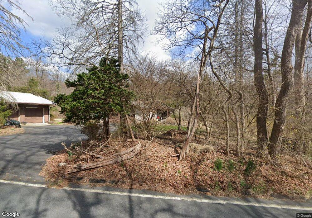
553 Ledge Rock Rd Mohnton, PA 19540
Estimated Value: $550,000 - $616,000
4
Beds
3
Baths
2,668
Sq Ft
$221/Sq Ft
Est. Value
About This Home
This home is located at 553 Ledge Rock Rd, Mohnton, PA 19540 and is currently estimated at $588,629, approximately $220 per square foot. 553 Ledge Rock Rd is a home located in Berks County with nearby schools including Governor Mifflin Intermediate School, Mifflin Park Elementary School, and Governor Mifflin Middle School.
Ownership History
Date
Name
Owned For
Owner Type
Purchase Details
Closed on
Jan 3, 2018
Sold by
Irene M Leppien Trust
Bought by
Hahn Marilyn I
Current Estimated Value
Purchase Details
Closed on
Apr 14, 1999
Sold by
Leppien Homer F and Leppien Irene M
Bought by
Irene M Leppien Trust
Purchase Details
Closed on
Aug 29, 1968
Bought by
Leppien Homer F and Leppien Irene M
Create a Home Valuation Report for This Property
The Home Valuation Report is an in-depth analysis detailing your home's value as well as a comparison with similar homes in the area
Home Values in the Area
Average Home Value in this Area
Purchase History
| Date | Buyer | Sale Price | Title Company |
|---|---|---|---|
| Hahn Marilyn I | -- | None Listed On Document | |
| Irene M Leppien Trust | -- | None Available | |
| Leppien Homer F | -- | -- |
Source: Public Records
Tax History
| Year | Tax Paid | Tax Assessment Tax Assessment Total Assessment is a certain percentage of the fair market value that is determined by local assessors to be the total taxable value of land and additions on the property. | Land | Improvement |
|---|---|---|---|---|
| 2025 | $3,943 | $220,900 | $63,400 | $157,500 |
| 2024 | $10,164 | $220,900 | $63,400 | $157,500 |
| 2023 | $9,879 | $220,900 | $63,400 | $157,500 |
| 2022 | $9,632 | $220,900 | $63,400 | $157,500 |
| 2021 | $9,441 | $220,900 | $63,400 | $157,500 |
| 2020 | $9,441 | $220,900 | $63,400 | $157,500 |
| 2019 | $9,326 | $220,900 | $63,400 | $157,500 |
| 2018 | $9,158 | $220,900 | $63,400 | $157,500 |
| 2017 | $8,980 | $220,900 | $63,400 | $157,500 |
| 2016 | $3,086 | $220,900 | $63,400 | $157,500 |
| 2015 | $3,086 | $220,900 | $63,400 | $157,500 |
| 2014 | $3,086 | $220,900 | $63,400 | $157,500 |
Source: Public Records
Map
Nearby Homes
Your Personal Tour Guide
Ask me questions while you tour the home.