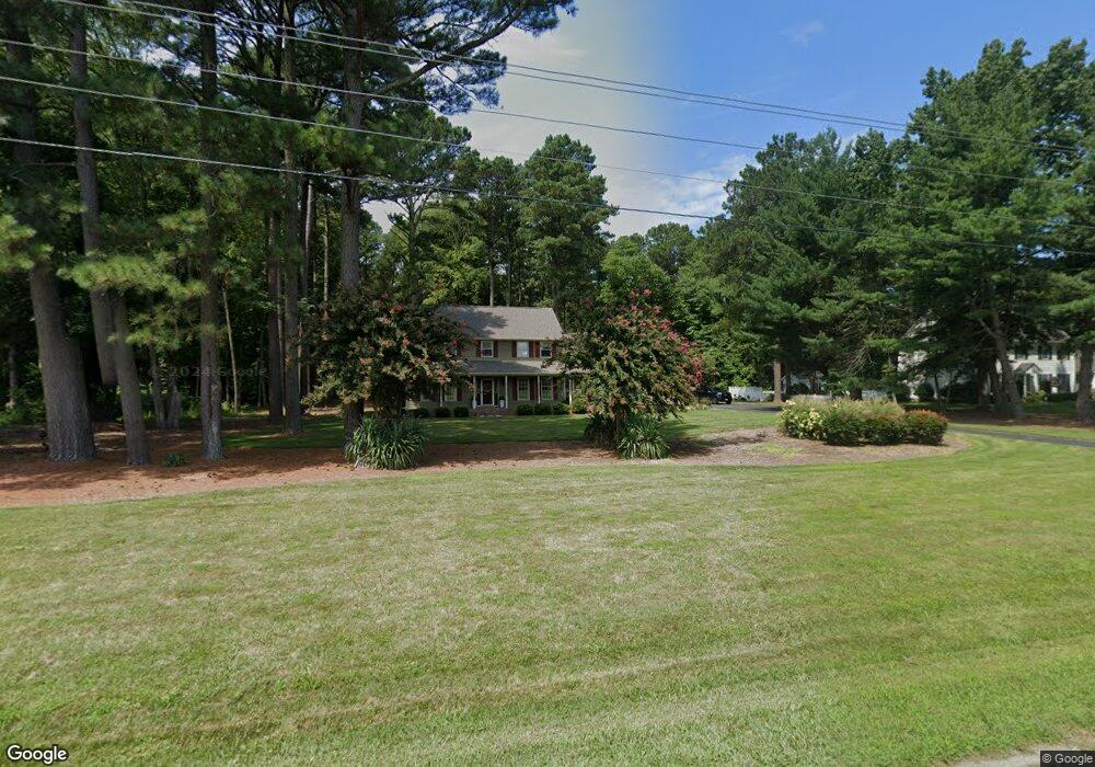
5538 N Upper Ferry Rd Salisbury, MD 21801
South Salisbury NeighborhoodEstimated Value: $470,000 - $579,000
About This Home
This home is located at 5538 N Upper Ferry Rd, Salisbury, MD 21801 and is currently estimated at $519,254, approximately $183 per square foot. 5538 N Upper Ferry Rd is a home located in Wicomico County with nearby schools including Westside Primary School, Westside Intermediate School, and Salisbury Middle School.
Ownership History
We collect this data history from publicly available records. To have your information removed, we recommend requesting removal directly through your county’s website.
Purchase Details
Home Financials for this Owner
Home Financials are based on the most recent Mortgage that was taken out on this home.Home Values in the Area
Average Home Value in this Area
Purchase History
We collect this data history from publicly available records. To have your information removed, we recommend requesting removal directly through your county’s website.
| Date | Buyer | Sale Price | Title Company |
|---|---|---|---|
| $5,300 | -- |
Mortgage History
We collect this data history from publicly available records. To have your information removed, we recommend requesting removal directly through your county’s website.
| Date | Status | Borrower | Loan Amount |
|---|---|---|---|
| Closed | $3,727 |
Tax History
We collect this data history from publicly available records. To have your information removed, we recommend requesting removal directly through your county’s website.
| Year | Tax Paid | Tax Assessment Tax Assessment Total Assessment is a certain percentage of the fair market value that is determined by local assessors to be the total taxable value of land and additions on the property. | Land | Improvement |
|---|---|---|---|---|
| 2025 | $3,391 | $385,967 | $0 | $0 |
| 2024 | $3,375 | $356,933 | $0 | $0 |
| 2023 | $3,302 | $327,900 | $52,000 | $275,900 |
| 2022 | $3,350 | $322,833 | $0 | $0 |
| 2021 | $3,131 | $317,767 | $0 | $0 |
| 2020 | $3,131 | $312,700 | $52,000 | $260,700 |
| 2019 | $3,024 | $293,700 | $0 | $0 |
| 2018 | $2,891 | $274,700 | $0 | $0 |
| 2017 | $2,749 | $255,700 | $0 | $0 |
| 2016 | $2,900 | $255,700 | $0 | $0 |
| 2015 | $2,900 | $255,700 | $0 | $0 |
| 2014 | $2,900 | $259,300 | $0 | $0 |
Map
- 0 King Stuart Dr Unit MDWC2018516
- 5799 Homestead St
- 26339 Wolfe Creek Dr
- 5165 Cooper Rd
- 5482 Royal Mile Blvd
- 5490 Royal Mile Blvd
- 5850 Brook St
- 0 Earldom Ln Unit MDWC2023456
- 26906 Shetland Ct
- 5423 Loch Ness Terrace
- 26307 Nanticoke Rd
- 5709 Royal Mile Blvd
- Lot 17A Pratt Rd
- 5456 Nithsdale Dr
- 5991 Hounds Bay Cir
- 5437 Nithsdale Dr
- 5396 Nithsdale Dr
- 26882 Pratt Rd
- 26608 Nanticoke Rd
- 26581 Siloam Rd
- 26479 Pemberton Dr
- 5508 N Upper Ferry Rd
- 5525 N Upper Ferry Rd
- 5541 N Upper Ferry Rd
- 26503 Pemberton Dr
- 5515 N Upper Ferry Rd
- 26515 Pemberton Dr
- 26478 Pemberton Dr
- 5503 N Upper Ferry Rd
- 5536 Cedarcrest Rd
- 26454 Pemberton Dr
- 26521 Pemberton Dr
- 5508 Cedarcrest Rd
- 26490 Riverbank Rd
- 5494 Cedarcrest Rd
- 26440 Pemberton Dr
- 26434 High Banks Dr
- 26434 High Banks Dr
- 26434 High Banks Dr
- 26512 Riverbank Rd
Ask me questions while you tour the home.