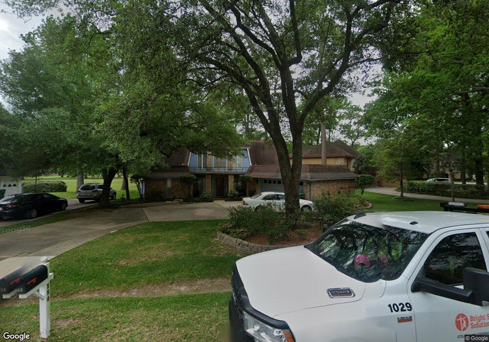
554 Hampton Rd Conroe, TX 77302
Estimated Value: $325,588 - $404,000
Studio
2
Baths
2,888
Sq Ft
$122/Sq Ft
Est. Value
About This Home
This home is located at 554 Hampton Rd, Conroe, TX 77302 and is currently estimated at $353,647, approximately $122 per square foot. 554 Hampton Rd is a home located in Montgomery County with nearby schools including Wilkinson Elementary School, Stockton Junior High School, and Bozman Intermediate School.
Ownership History
Date
Name
Owned For
Owner Type
Purchase Details
Closed on
Mar 20, 2023
Sold by
Dent Walter
Bought by
Anderson Jeffrey B
Current Estimated Value
Home Financials for this Owner
Home Financials are based on the most recent Mortgage that was taken out on this home.
Original Mortgage
$51,000
Outstanding Balance
$49,387
Interest Rate
6.09%
Mortgage Type
New Conventional
Estimated Equity
$304,260
Purchase Details
Closed on
Oct 9, 2000
Sold by
The Roy E Dial & Dorcas G Dial Living Tr
Bought by
Dent Walter
Home Financials for this Owner
Home Financials are based on the most recent Mortgage that was taken out on this home.
Original Mortgage
$124,200
Interest Rate
11.49%
Create a Home Valuation Report for This Property
The Home Valuation Report is an in-depth analysis detailing your home's value as well as a comparison with similar homes in the area
Home Values in the Area
Average Home Value in this Area
Purchase History
| Date | Buyer | Sale Price | Title Company |
|---|---|---|---|
| Anderson Jeffrey B | -- | Chicago Title | |
| Dent Walter | -- | Chicago Title |
Source: Public Records
Mortgage History
| Date | Status | Borrower | Loan Amount |
|---|---|---|---|
| Open | Anderson Jeffrey B | $51,000 | |
| Previous Owner | Dent Walter | $124,200 |
Source: Public Records
Tax History
| Year | Tax Paid | Tax Assessment Tax Assessment Total Assessment is a certain percentage of the fair market value that is determined by local assessors to be the total taxable value of land and additions on the property. | Land | Improvement |
|---|---|---|---|---|
| 2025 | $5,030 | $278,369 | $23,331 | $255,038 |
| 2024 | $2,751 | $277,913 | $23,331 | $254,582 |
| 2023 | $2,751 | $224,050 | $23,330 | $205,010 |
| 2022 | $4,719 | $203,680 | $23,330 | $211,280 |
| 2021 | $4,008 | $185,160 | $9,680 | $188,100 |
| 2020 | $3,811 | $168,330 | $9,680 | $158,650 |
| 2019 | $4,634 | $198,500 | $9,680 | $188,820 |
| 2018 | $3,543 | $198,500 | $9,680 | $188,820 |
| 2017 | $4,325 | $184,750 | $9,680 | $198,140 |
| 2016 | $3,932 | $167,950 | $9,960 | $175,980 |
| 2015 | $3,728 | $152,680 | $9,960 | $142,720 |
| 2014 | $3,728 | $166,530 | $9,960 | $156,570 |
Source: Public Records
Map
Nearby Homes
- 559 Hampton Rd
- 601 Brandon Rd
- 20 Brandon Rd
- 548 River Plantation Dr
- 546 River Plantation Dr
- 16767 Country Roots Ave
- 16783 Country Roots Ave
- 15611 Country Charm Trail
- 15607 Country Charm Trail
- 532 Raleigh Dr
- 545 Robert e Lee Dr
- 534 Bull Run Ct
- 705 Fairway Oaks
- 707 Fairway Oaks
- 530 Bull Run Ct
- 676 Ravensworth Dr
- 635 Mosswood Dr
- 709 Palmer Dr
- 544 Brandon Rd
- 49 Robert e Lee Dr
- 552 Hampton Rd
- 558 Hampton Rd
- 557 Hampton Rd
- 144 River Plantation Dr
- 553 Hampton Rd
- 551 Hampton Rd
- 561 Hampton Rd
- 520 River Plantation Dr
- 522 River Plantation Dr
- 518 River Plantation Dr
- 995 Hampton Rd
- 993 Hampton Rd
- 565 Hampton Rd
- 552 Gunston Ct
- 550 Gunston Ct
- 516 River Plantation Dr
- 514 River Plantation Dr
- 567 Hampton Rd
- 554 Gunston Ct
- 554 Gunston Ct
Your Personal Tour Guide
Ask me questions while you tour the home.