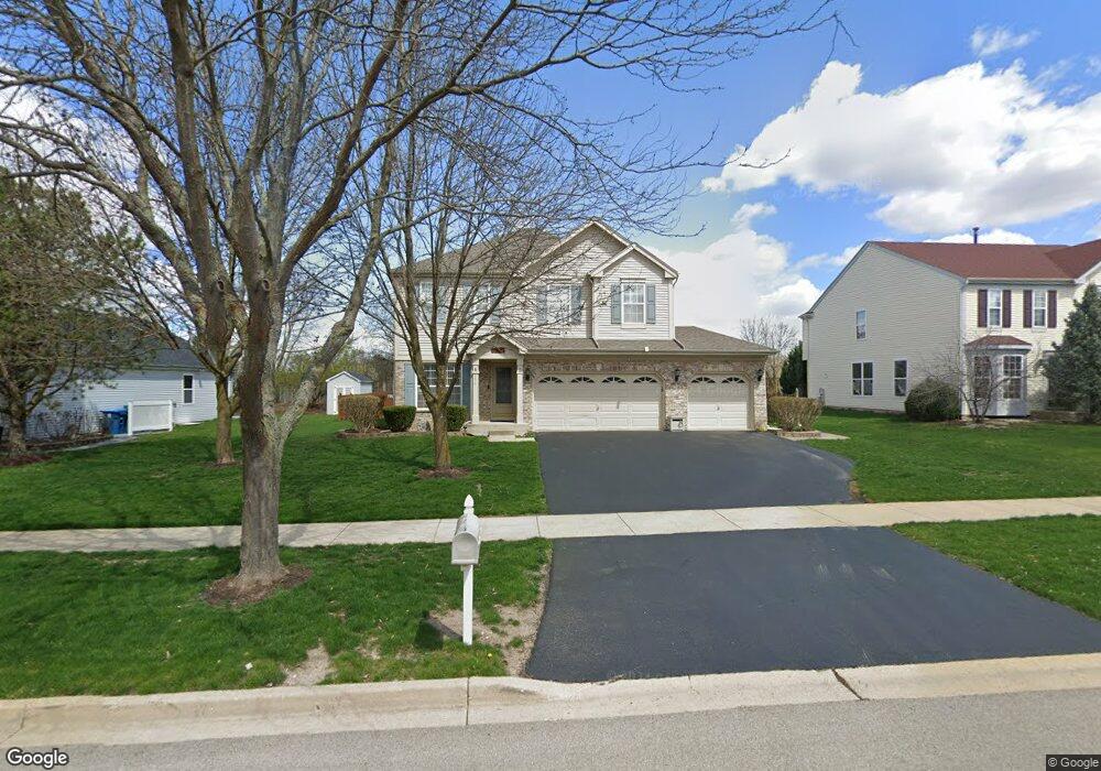
554 Wingpointe Dr Unit 3 Aurora, IL 60506
Blackberry Countryside NeighborhoodEstimated Value: $399,009 - $436,000
Studio
--
Bath
2,402
Sq Ft
$176/Sq Ft
Est. Value
About This Home
This home is located at 554 Wingpointe Dr Unit 3, Aurora, IL 60506 and is currently estimated at $423,252, approximately $176 per square foot. 554 Wingpointe Dr Unit 3 is a home located in Kane County with nearby schools including Kaneland Mcdole Elementary School, Harter Middle School, and Kaneland High School.
Ownership History
Date
Name
Owned For
Owner Type
Purchase Details
Closed on
Nov 15, 2002
Sold by
Lindens Venture Llc
Bought by
Gilman Richard L and Gilman Bernadette M
Current Estimated Value
Home Financials for this Owner
Home Financials are based on the most recent Mortgage that was taken out on this home.
Original Mortgage
$196,600
Outstanding Balance
$84,525
Interest Rate
6.38%
Estimated Equity
$338,727
Create a Home Valuation Report for This Property
The Home Valuation Report is an in-depth analysis detailing your home's value as well as a comparison with similar homes in the area
Home Values in the Area
Average Home Value in this Area
Purchase History
| Date | Buyer | Sale Price | Title Company |
|---|---|---|---|
| Gilman Richard L | $246,000 | First American Title Co |
Source: Public Records
Mortgage History
| Date | Status | Borrower | Loan Amount |
|---|---|---|---|
| Open | Gilman Richard L | $196,600 |
Source: Public Records
Tax History
| Year | Tax Paid | Tax Assessment Tax Assessment Total Assessment is a certain percentage of the fair market value that is determined by local assessors to be the total taxable value of land and additions on the property. | Land | Improvement |
|---|---|---|---|---|
| 2024 | $9,070 | $114,188 | $27,479 | $86,709 |
| 2023 | $8,657 | $102,984 | $24,783 | $78,201 |
| 2022 | $8,644 | $95,073 | $22,879 | $72,194 |
| 2021 | $8,345 | $90,477 | $21,773 | $68,704 |
| 2020 | $8,264 | $88,546 | $21,308 | $67,238 |
| 2019 | $8,156 | $85,651 | $20,611 | $65,040 |
| 2018 | $7,401 | $77,673 | $15,153 | $62,520 |
| 2017 | $7,182 | $74,179 | $14,471 | $59,708 |
| 2016 | $6,980 | $70,910 | $13,833 | $57,077 |
| 2015 | -- | $65,975 | $12,870 | $53,105 |
| 2014 | -- | $68,727 | $12,306 | $56,421 |
| 2013 | -- | $69,449 | $12,435 | $57,014 |
Source: Public Records
Map
Nearby Homes
- 2376 Wyckwood Dr
- 700 Mcclaran Ave
- 413 Cottrell Ln
- 417 Cottrell Ln
- 421 Cottrell Ln
- 425 Cottrell Ln
- 396 Cottrell Ln
- 433 Cottrell Ln
- 393 S Constitution Dr
- 387 S Constitution Dr
- 381 S Constitution Dr
- 375 S Constitution Dr
- 405 S Constitution Dr
- 357 Cottrell Ln
- 411 S Constitution Dr
- 417 S Constitution Dr
- 432 Rockwell Rd
- 906 Lindenwood Dr
- 7S355 Midfield Dr
- 2091 Jericho Rd
- 560 Wingpointe Dr
- 548 Wingpointe Dr
- 566 Wingpointe Dr Unit 3
- 542 Wingpointe Dr
- 553 Wingpointe Dr
- 559 Wingpointe Dr
- 547 Wingpointe Dr
- 572 Wingpointe Dr Unit 3
- 536 Wingpointe Dr
- 565 Wingpointe Dr
- 571 Wingpointe Dr
- 578 Wingpointe Dr Unit 3
- 530 Wingpointe Dr
- 535 Wingpointe Dr Unit 3
- 2535 Roseglen Way Unit 3
- 2547 Roseglen Way
- 2523 Roseglen Way Unit 3
- 577 Wingpointe Dr
- 2511 Roseglen Way
- 2559 Roseglen Way
Your Personal Tour Guide
Ask me questions while you tour the home.