5543 Rays Dr Onsted, MI 49265
Estimated Value: $167,000 - $237,000
2
Beds
1
Bath
640
Sq Ft
$309/Sq Ft
Est. Value
About This Home
This home is located at 5543 Rays Dr, Onsted, MI 49265 and is currently estimated at $198,074, approximately $309 per square foot. 5543 Rays Dr is a home located in Lenawee County with nearby schools including Onsted Elementary School, Onsted Middle School, and Onsted Community High School.
Ownership History
Date
Name
Owned For
Owner Type
Purchase Details
Closed on
Apr 10, 2015
Sold by
Berner Craig M and Berner Molly A
Bought by
Berner Craig M and Berner Molly A
Current Estimated Value
Purchase Details
Closed on
May 12, 2010
Sold by
Federal Home Loan Mortgage Corporation
Bought by
Berner Craig M and Berner Molly A
Home Financials for this Owner
Home Financials are based on the most recent Mortgage that was taken out on this home.
Original Mortgage
$27,920
Interest Rate
5.12%
Mortgage Type
New Conventional
Purchase Details
Closed on
Feb 17, 2010
Sold by
Graef Leonard C
Bought by
Federal Home Loan Mortgage Corporation
Purchase Details
Closed on
Dec 3, 2009
Sold by
Graef Leonard C
Bought by
Federal Home Loan Mortgage Corporation
Create a Home Valuation Report for This Property
The Home Valuation Report is an in-depth analysis detailing your home's value as well as a comparison with similar homes in the area
Purchase History
| Date | Buyer | Sale Price | Title Company |
|---|---|---|---|
| Berner Craig M | -- | None Available | |
| Berner Craig M | $34,900 | Multiple | |
| Federal Home Loan Mortgage Corporation | $2,800 | None Available | |
| Federal Home Loan Mortgage Corporation | $123,546 | None Available |
Source: Public Records
Mortgage History
| Date | Status | Borrower | Loan Amount |
|---|---|---|---|
| Previous Owner | Berner Craig M | $27,920 |
Source: Public Records
Tax History
| Year | Tax Paid | Tax Assessment Tax Assessment Total Assessment is a certain percentage of the fair market value that is determined by local assessors to be the total taxable value of land and additions on the property. | Land | Improvement |
|---|---|---|---|---|
| 2025 | $2,837 | $69,500 | $0 | $0 |
| 2023 | $7 | $59,400 | $0 | $0 |
| 2022 | $3,100 | $72,700 | $0 | $0 |
| 2021 | $3,075 | $68,000 | $0 | $0 |
| 2020 | $2,998 | $68,500 | $0 | $0 |
| 2019 | $171,873 | $64,300 | $0 | $0 |
| 2018 | $2,851 | $64,341 | $0 | $0 |
| 2017 | $2,742 | $62,473 | $0 | $0 |
| 2016 | $2,406 | $57,091 | $0 | $0 |
| 2014 | -- | $56,498 | $0 | $0 |
Source: Public Records
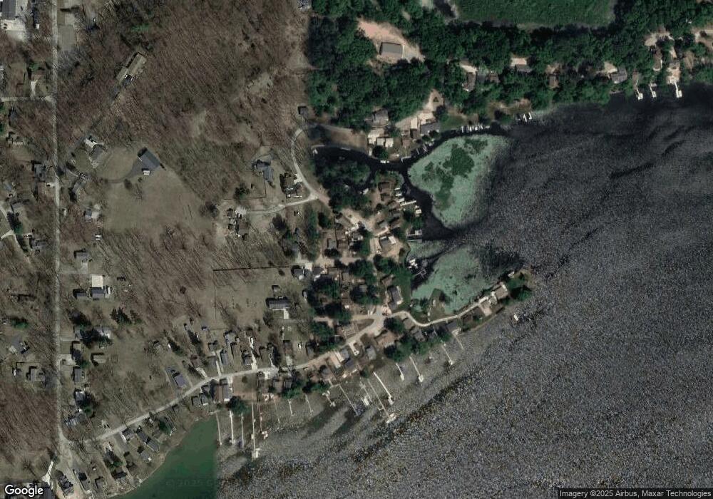
Map
Nearby Homes
- 5512 Rays Dr
- 5884 Rays Dr
- 5156 Boardman Dr
- 6015 U S 12
- lots 31 & 43 Canal St
- 468 Pentecost Hwy
- 1193 Sand Lake Hwy
- 6000 Michigan Ave
- 6000 US Highway 12 Rd
- 11494 Tamarack Dr
- 1193 Lakeview Dr
- 318 Cedar St
- 780 Beach Dr
- 11963 Egan Hwy
- 920 Cambridge Dr
- 1110 Cambridge Dr
- 1400 Lakeview Dr
- 5600 Michigan Ave
- 7075 M 50
- 12175 Watkins Rd
- 5547 Rays Dr
- 5539 Rays Dr
- 5584 Rays Dr
- 5000 Rays Dr
- 5580 Rays Dr
- 5560 Rays Dr
- 5538 Adelburt Ct
- 5540 Rays Dr
- 5595 Rays Dr
- 5595 Rays Dr Unit RAYS
- 5601 Rays Dr
- 5601 Rays Dr Unit RAYS
- 5536 Adelburt Ct
- 5542 Adelburt Ct
- 5544 Roberts Ct
- 7000 Rays Dr
- 5528 Rays Dr
- 5535 Adelburt Ct
- 5503 Rays Dr
- 5531 Adelburt Ct
Your Personal Tour Guide
Ask me questions while you tour the home.