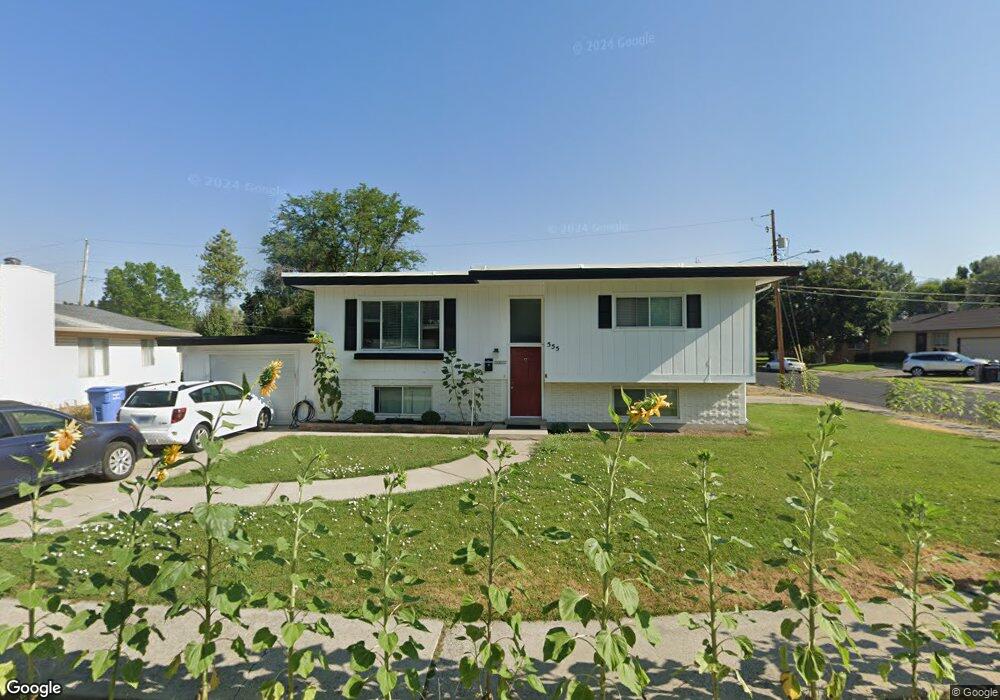
555 E 170 S Logan, UT 84321
Wilson NeighborhoodEstimated Value: $392,000 - $416,353
About This Home
This home is located at 555 E 170 S, Logan, UT 84321 and is currently estimated at $402,088, approximately $190 per square foot. 555 E 170 S is a home located in Cache County with nearby schools including Wilson School, Mount Logan Middle School, and Logan High School.
Ownership History
We collect this data history from publicly available records. To have your information removed, we recommend requesting removal directly through your county’s website.
Purchase Details
Home Financials for this Owner
Home Financials are based on the most recent Mortgage that was taken out on this home.Purchase Details
Home Financials for this Owner
Home Financials are based on the most recent Mortgage that was taken out on this home.Purchase Details
Home Financials for this Owner
Home Financials are based on the most recent Mortgage that was taken out on this home.Purchase Details
Home Financials for this Owner
Home Financials are based on the most recent Mortgage that was taken out on this home.Purchase Details
Home Financials for this Owner
Home Financials are based on the most recent Mortgage that was taken out on this home.Home Values in the Area
Average Home Value in this Area
Purchase History
We collect this data history from publicly available records. To have your information removed, we recommend requesting removal directly through your county’s website.
| Date | Buyer | Sale Price | Title Company |
|---|---|---|---|
| -- | Stewart Title Ins Agcy Of Ut | ||
| -- | Hickman Land Title | ||
| -- | Cache Title Logan | ||
| -- | Lsi Pittsburgh | ||
| -- | Heritage West Title |
Mortgage History
We collect this data history from publicly available records. To have your information removed, we recommend requesting removal directly through your county’s website.
| Date | Status | Borrower | Loan Amount |
|---|---|---|---|
| Open | $261,725 | ||
| Previous Owner | $183,920 | ||
| Previous Owner | $141,550 | ||
| Previous Owner | $137,200 | ||
| Previous Owner | $7,400 | ||
| Previous Owner | $137,556 |
Tax History
We collect this data history from publicly available records. To have your information removed, we recommend requesting removal directly through your county’s website.
| Year | Tax Paid | Tax Assessment Tax Assessment Total Assessment is a certain percentage of the fair market value that is determined by local assessors to be the total taxable value of land and additions on the property. | Land | Improvement |
|---|---|---|---|---|
| 2025 | $1,575 | $203,675 | $0 | $0 |
| 2024 | $1,688 | $211,415 | $0 | $0 |
| 2023 | $1,696 | $202,535 | $0 | $0 |
| 2022 | $1,817 | $202,540 | $0 | $0 |
| 2021 | $1,718 | $295,960 | $55,000 | $240,960 |
| 2020 | $1,650 | $255,800 | $55,000 | $200,800 |
| 2019 | $1,714 | $254,297 | $55,000 | $199,297 |
| 2018 | $1,543 | $208,896 | $40,000 | $168,896 |
| 2017 | $1,466 | $104,940 | $0 | $0 |
| 2016 | $1,520 | $81,950 | $0 | $0 |
| 2015 | $1,188 | $81,950 | $0 | $0 |
| 2014 | $973 | $74,250 | $0 | $0 |
| 2013 | -- | $74,525 | $0 | $0 |
Map
- 45 River Circle Dr
- 263 Stewart Hill Dr
- 472 E 300 S
- 180 S 300 E
- 434 River Heights Blvd
- 665 E 400 S
- 538 S Rivergate Dr
- 512 S Rivergate Dr
- 814 Mountain Rd
- 266 E 200 S
- 606 Le Ruisseau Dr
- 174 N 500 E
- 28 River Pointe Dr
- 341 E Boulevard St
- 240 S 200 E
- 215 E 300 S
- 379 Boulevard
- 547 E 200 N
- 725 E 600 S Unit 15
- 730 E 200 N
Ask me questions while you tour the home.