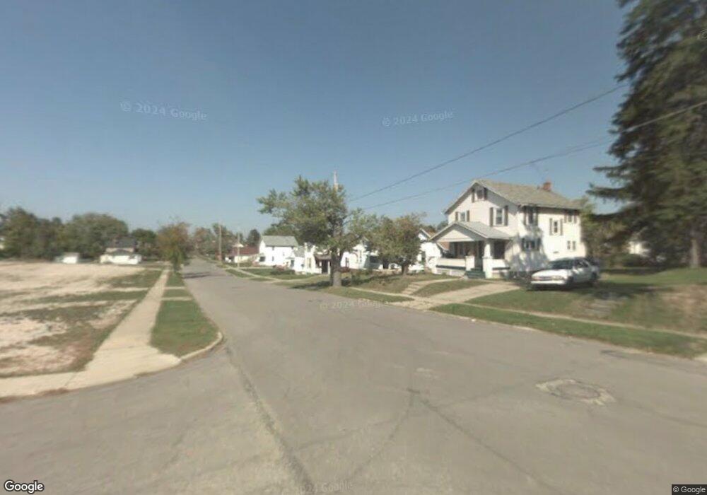
556 Lida St Mansfield, OH 44903
Estimated Value: $59,000 - $76,424
2
Beds
1
Bath
896
Sq Ft
$78/Sq Ft
Est. Value
About This Home
This home is located at 556 Lida St, Mansfield, OH 44903 and is currently estimated at $70,106, approximately $78 per square foot. 556 Lida St is a home located in Richland County with nearby schools including Goal Digital Academy, St. Peter's Elementary/Montessori School, and St. Peter's Junior High / High School.
Ownership History
Date
Name
Owned For
Owner Type
Purchase Details
Closed on
Nov 21, 2023
Sold by
Micucci Michael H
Bought by
Micucci Michael H
Current Estimated Value
Purchase Details
Closed on
May 22, 2019
Sold by
Davenport Samuel J
Bought by
Micucci Michael H and Walker Michael A
Purchase Details
Closed on
Nov 30, 2017
Sold by
Kosoksky Ii Thomas J
Bought by
Davenport Samuel J
Purchase Details
Closed on
Jul 19, 1999
Sold by
Barretta Michael A
Bought by
Kososky Thomas J and Kososky Carion S
Purchase Details
Closed on
Aug 1, 1985
Create a Home Valuation Report for This Property
The Home Valuation Report is an in-depth analysis detailing your home's value as well as a comparison with similar homes in the area
Home Values in the Area
Average Home Value in this Area
Purchase History
| Date | Buyer | Sale Price | Title Company |
|---|---|---|---|
| Micucci Michael H | -- | None Listed On Document | |
| Micucci Michael H | -- | None Listed On Document | |
| Micucci Michael H | $3,000 | None Available | |
| Davenport Samuel J | -- | None Available | |
| Kososky Thomas J | $8,000 | -- | |
| -- | $5,000 | -- |
Source: Public Records
Tax History
| Year | Tax Paid | Tax Assessment Tax Assessment Total Assessment is a certain percentage of the fair market value that is determined by local assessors to be the total taxable value of land and additions on the property. | Land | Improvement |
|---|---|---|---|---|
| 2025 | $554 | $11,560 | $1,770 | $9,790 |
| 2024 | $554 | $11,560 | $1,770 | $9,790 |
| 2023 | $553 | $11,560 | $1,770 | $9,790 |
| 2022 | $513 | $8,980 | $1,610 | $7,370 |
| 2021 | $517 | $8,980 | $1,610 | $7,370 |
| 2020 | $517 | $8,980 | $1,610 | $7,370 |
| 2019 | $573 | $8,980 | $1,610 | $7,370 |
| 2018 | $668 | $8,980 | $1,610 | $7,370 |
| 2017 | $705 | $8,980 | $1,610 | $7,370 |
| 2016 | $757 | $8,730 | $2,540 | $6,190 |
| 2015 | $526 | $8,730 | $2,540 | $6,190 |
| 2014 | $519 | $8,730 | $2,540 | $6,190 |
| 2012 | $198 | $8,740 | $2,680 | $6,060 |
Source: Public Records
Map
Nearby Homes
- 524 Lida St
- 580 N Mulberry St
- 118 Raymond Ave
- 0 Grant Rd Unit 5190994
- 375 Mcpherson St
- 0 Highway 30
- 368 W 6th St
- 346 Newman St
- 219 W 5th St
- 344 W 5th St
- 447 Spayer Ln
- 572 France St
- 224 Atcheson Ave
- 245 W 4th St
- 0 State Route 314 Unit 9069650
- 688 Mcpherson St
- 0 Lemley Ave Unit 9070540
- 458 W West Dickson Ave
- 453 W Dickson Ave
- 509 Heineman Blvd
Your Personal Tour Guide
Ask me questions while you tour the home.