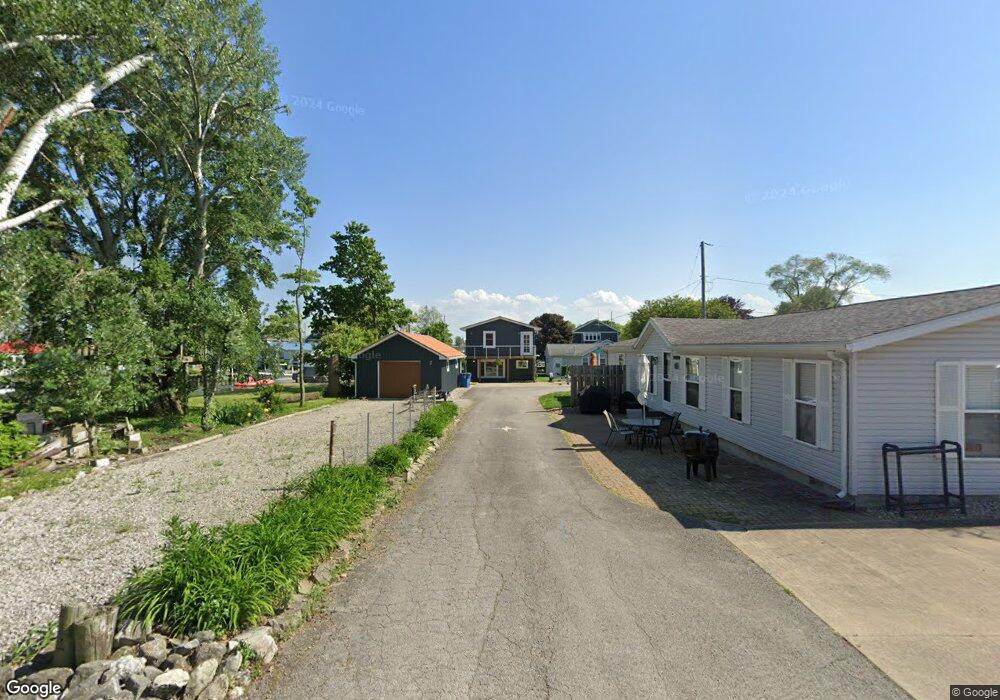
5582 E Channel Dr Port Clinton, OH 43452
Estimated Value: $348,000 - $407,000
3
Beds
2
Baths
1,304
Sq Ft
$286/Sq Ft
Est. Value
About This Home
This home is located at 5582 E Channel Dr, Port Clinton, OH 43452 and is currently estimated at $372,991, approximately $286 per square foot. 5582 E Channel Dr is a home located in Ottawa County with nearby schools including Bataan Memorial Primary School, Bataan Memorial Intermediate School, and Port Clinton Middle School.
Ownership History
Date
Name
Owned For
Owner Type
Purchase Details
Closed on
Sep 2, 2016
Sold by
Adams Daryl and Last Will & Testament Of Anne
Bought by
Adams Beverly A
Current Estimated Value
Home Financials for this Owner
Home Financials are based on the most recent Mortgage that was taken out on this home.
Original Mortgage
$78,400
Outstanding Balance
$9,110
Interest Rate
3.45%
Mortgage Type
New Conventional
Estimated Equity
$363,881
Create a Home Valuation Report for This Property
The Home Valuation Report is an in-depth analysis detailing your home's value as well as a comparison with similar homes in the area
Home Values in the Area
Average Home Value in this Area
Purchase History
| Date | Buyer | Sale Price | Title Company |
|---|---|---|---|
| Adams Beverly A | $113,000 | Attorney |
Source: Public Records
Mortgage History
| Date | Status | Borrower | Loan Amount |
|---|---|---|---|
| Open | Adams Beverly A | $78,400 |
Source: Public Records
Tax History
| Year | Tax Paid | Tax Assessment Tax Assessment Total Assessment is a certain percentage of the fair market value that is determined by local assessors to be the total taxable value of land and additions on the property. | Land | Improvement |
|---|---|---|---|---|
| 2024 | $3,316 | $107,318 | $32,085 | $75,233 |
| 2023 | $3,390 | $56,826 | $18,333 | $38,493 |
| 2022 | $1,972 | $56,826 | $18,333 | $38,493 |
| 2021 | $1,969 | $56,830 | $18,330 | $38,500 |
| 2020 | $1,777 | $49,320 | $17,800 | $31,520 |
| 2019 | $1,758 | $49,320 | $17,800 | $31,520 |
| 2018 | $1,916 | $49,320 | $17,800 | $31,520 |
| 2017 | $2,373 | $59,670 | $20,360 | $39,310 |
| 2016 | $2,004 | $59,670 | $20,360 | $39,310 |
| 2015 | $2,015 | $59,670 | $20,360 | $39,310 |
| 2014 | $2,483 | $50,600 | $20,360 | $30,240 |
| 2013 | $2,483 | $50,600 | $20,360 | $30,240 |
Source: Public Records
Map
Nearby Homes
- 5411 E Channel Dr
- 2629 NE Catawba Rd
- 2970 N Swift Dr
- 5475 E Mabel Dr
- 2822 N Noreaster Cove Dr
- 2820 N Noreaster Cove Dr Unit 1
- 2888 N Coho Dr
- 5854 E Woodland Dr
- 5601 E Pittsburgh St
- 2914 N Perch Row
- 5054 E Schoolhouse Rd
- 2690 N Canterbury Cir Unit A
- 2690 N Canterbury Cir Unit D
- 5784 E Carl Ave
- 4862 E Westwinds Dr
- 4873 Tradewinds Dr
- 2453 N Peachtree Ln Unit Sublot 7
- 2481 N Peachtree Ln Unit Sublot 6
- 2425 N Peachtree Ln Unit Sublot 8
- 2509 N Peachtree Ln Unit Sublot 5
- 5574 E Channel Dr
- 5566 E Channel Dr
- 5558 E Channel Dr
- 5550 E Channel Dr
- 5317 E Port Dr
- 5325 E Port Dr
- 5541 E Channel Dr
- 5542 E Channel Dr
- 5573 E Helmsman Dr
- 5563 E Helmsman Dr
- 5532 E Foxhaven Dr
- 5524 E Foxhaven Dr
- 5534 E Channel Dr
- 5533 E Channel Dr
- 5333 E Port Dr
- 5540 E Foxhaven Dr
- 5553 E Helmsman Dr
- 5341 E Port Dr
- 5526 E Channel Dr
- 5508 E Foxhaven Dr
Your Personal Tour Guide
Ask me questions while you tour the home.