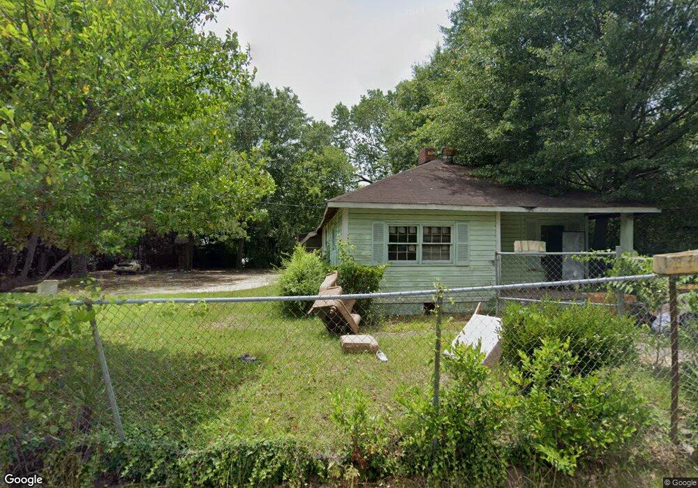
559 Williams St E Macon, GA 31217
Fort Hill Historic District NeighborhoodEstimated Value: $56,137 - $84,000
About This Home
This home is located at 559 Williams St E, Macon, GA 31217 and is currently estimated at $65,534, approximately $59 per square foot. 559 Williams St E is a home located in Bibb County with nearby schools including Burdell Elementary School, Appling Middle School, and Northeast High School.
Ownership History
We collect this data history from publicly available records. To have your information removed, we recommend requesting removal directly through your county’s website.
Purchase Details
Purchase Details
Purchase Details
Purchase Details
Home Values in the Area
Average Home Value in this Area
Purchase History
We collect this data history from publicly available records. To have your information removed, we recommend requesting removal directly through your county’s website.
| Date | Buyer | Sale Price | Title Company |
|---|---|---|---|
| $20,000 | None Avilebel | ||
| -- | -- | ||
| -- | -- | ||
| -- | -- |
Tax History
We collect this data history from publicly available records. To have your information removed, we recommend requesting removal directly through your county’s website.
| Year | Tax Paid | Tax Assessment Tax Assessment Total Assessment is a certain percentage of the fair market value that is determined by local assessors to be the total taxable value of land and additions on the property. | Land | Improvement |
|---|---|---|---|---|
| 2025 | $383 | $15,581 | $3,762 | $11,819 |
| 2024 | $364 | $14,317 | $3,672 | $10,645 |
| 2023 | $331 | $13,045 | $2,400 | $10,645 |
| 2022 | $330 | $9,537 | $4,140 | $5,397 |
| 2021 | $205 | $5,406 | $1,552 | $3,854 |
| 2020 | $195 | $5,026 | $1,552 | $3,474 |
| 2019 | $182 | $4,645 | $1,552 | $3,093 |
| 2018 | $458 | $4,645 | $1,552 | $3,093 |
| 2017 | $174 | $4,645 | $1,552 | $3,093 |
| 2016 | $159 | $4,597 | $1,552 | $3,044 |
| 2015 | $225 | $4,597 | $1,552 | $3,044 |
| 2014 | $103 | $5,461 | $1,656 | $3,805 |
Map
- 1059 Fort Hill St
- 722 Mitchell St
- 1155 Mitchell St
- 1155 Mitchell St
- 917 Fort Hill St
- 1036 Clay Ave
- 989 Curry Place
- 1174 Davis St E
- 725 Schaeffer Place
- 1154 Davis Cir
- 856 Center St
- 873 Fort Hill St
- 826 Fort Hill St
- 811 Little Short St
- 808 Center St
- 774 Maynard St
- 645 Cowan St
- 965 North Ave
- 1194 Briarcliff Rd
- 859 North Ave
- 549 Williams St E
- 548 Green Place
- 583 Williams St E
- 1253 Center St
- 578 Williams St E
- 542 Williams St E
- 565 Green Place
- E Turner Way
- 571 Green Place
- 585 Green Place
- 624 Morrow Place
- 608 Williams St E
- 621 Morrow Ave
- 1160 Turner Way
- 528 Williams St E
- 623 Morrow Ave
- 1310 Sanford Ave
- 1167 Turner Way
- 1221 Gray Hwy
- 623 Morrow Place
Ask me questions while you tour the home.