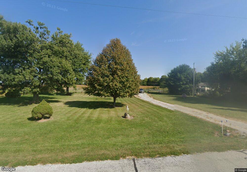
5590 N Hampton Rd Springfield, OH 45502
Estimated Value: $178,929 - $219,000
3
Beds
1
Bath
1,000
Sq Ft
$198/Sq Ft
Est. Value
About This Home
This home is located at 5590 N Hampton Rd, Springfield, OH 45502 and is currently estimated at $197,732, approximately $197 per square foot. 5590 N Hampton Rd is a home located in Clark County with nearby schools including Northwestern Elementary School and Northwestern Junior/Senior High School.
Ownership History
Date
Name
Owned For
Owner Type
Purchase Details
Closed on
Jul 29, 1994
Sold by
Ayres Richard E
Bought by
Steele Eddie O Steele and Steele Karen M
Current Estimated Value
Home Financials for this Owner
Home Financials are based on the most recent Mortgage that was taken out on this home.
Original Mortgage
$55,879
Interest Rate
8.41%
Mortgage Type
FHA
Create a Home Valuation Report for This Property
The Home Valuation Report is an in-depth analysis detailing your home's value as well as a comparison with similar homes in the area
Purchase History
| Date | Buyer | Sale Price | Title Company |
|---|---|---|---|
| Steele Eddie O Steele | $57,000 | -- |
Source: Public Records
Mortgage History
| Date | Status | Borrower | Loan Amount |
|---|---|---|---|
| Closed | Steele Eddie O Steele | $55,879 |
Source: Public Records
Tax History
| Year | Tax Paid | Tax Assessment Tax Assessment Total Assessment is a certain percentage of the fair market value that is determined by local assessors to be the total taxable value of land and additions on the property. | Land | Improvement |
|---|---|---|---|---|
| 2025 | $2,181 | $55,140 | $16,170 | $38,970 |
| 2024 | $2,164 | $45,090 | $13,190 | $31,900 |
| 2023 | $2,164 | $45,090 | $13,190 | $31,900 |
| 2022 | $2,222 | $45,090 | $13,190 | $31,900 |
| 2021 | $1,835 | $32,920 | $9,630 | $23,290 |
| 2020 | $1,819 | $32,920 | $9,630 | $23,290 |
| 2019 | $1,836 | $32,920 | $9,630 | $23,290 |
| 2018 | $1,862 | $33,160 | $8,750 | $24,410 |
| 2017 | $1,863 | $33,163 | $8,750 | $24,413 |
| 2016 | $1,827 | $33,163 | $8,750 | $24,413 |
| 2015 | $1,704 | $31,556 | $8,750 | $22,806 |
| 2014 | $1,704 | $31,556 | $8,750 | $22,806 |
| 2013 | $1,692 | $31,556 | $8,750 | $22,806 |
Source: Public Records
Map
Nearby Homes
- 6568 Dialton Rd
- 3961 Shrine Rd
- 6580 Shaler Dr
- 6970 Coffin Station Rd
- 1 Folk Ream Rd
- 0 St Rt 55 Unit 25869228
- 4402 Kite Rd
- 3831 Crescent Hill Rd
- 4661 Rosswood Ln
- 4100 Troy Rd Unit Lot 24
- 5770 Storms Creek Rd
- 4472 Saint Paris Pike
- 4211 Grey Stone Crossing
- 3526 Dallas Dr
- 3406 Christina Dr
- 3430 Michael Dr
- 3410 Michael Dr
- 3145 Troy Rd
- 3460 Hanson Rd
- 9775 Conrad Rd
- 5570 N Hampton Rd
- 5550 N Hampton Rd
- 5664 N Hampton Rd
- 5536 N Hampton Rd
- 5524 N Hampton Rd
- 5471 N Hampton Rd
- 5474 N Hampton Rd
- 6000 N Hampton Rd
- 5447 N Hampton Rd
- 5423 N Hampton Rd
- 5384 N Hampton Rd
- 5395 N Hampton Rd
- 7161 Stott Rd
- 5385 N Hampton Rd
- 6115 N Hampton Rd
- 5338 Lehman Rd
- 5312 Lehman Rd
- 5312 Lehman Rd
- 6135 N Hampton Rd
- 5210 Lehman Rd
Your Personal Tour Guide
Ask me questions while you tour the home.