5592 Table Rock Rd Central Point, OR 97502
Estimated Value: $346,000 - $607,974
About This Home
This home is located at 5592 Table Rock Rd, Central Point, OR 97502 and is currently estimated at $509,658, approximately $148 per square foot. 5592 Table Rock Rd is a home located in Jackson County with nearby schools including Sams Valley Elementary School, Scenic Middle School, and Crater High School.
Ownership History
We collect this data history from publicly available records. To have your information removed, we recommend requesting removal directly through your county’s website.
Purchase Details
Purchase Details
Purchase Details
Home Financials for this Owner
Home Financials are based on the most recent Mortgage that was taken out on this home.Purchase Details
Purchase History
We collect this data history from publicly available records. To have your information removed, we recommend requesting removal directly through your county’s website.
| Date | Buyer | Sale Price | Title Company |
|---|---|---|---|
| $600,000 | Ticor Title | ||
| $281,499 | Ticor Title Company | ||
| $275,000 | First American Title | ||
| -- | -- |
Mortgage History
We collect this data history from publicly available records. To have your information removed, we recommend requesting removal directly through your county’s website.
| Date | Status | Borrower | Loan Amount |
|---|---|---|---|
| Previous Owner | $263,000 |
Tax History
We collect this data history from publicly available records. To have your information removed, we recommend requesting removal directly through your county’s website.
| Year | Tax Paid | Tax Assessment Tax Assessment Total Assessment is a certain percentage of the fair market value that is determined by local assessors to be the total taxable value of land and additions on the property. | Land | Improvement |
|---|---|---|---|---|
| 2026 | $3,113 | $217,350 | -- | -- |
| 2025 | $2,574 | $211,020 | $160,790 | $50,230 |
| 2024 | $2,574 | $173,560 | $156,110 | $17,450 |
| 2023 | $2,490 | $168,510 | $151,570 | $16,940 |
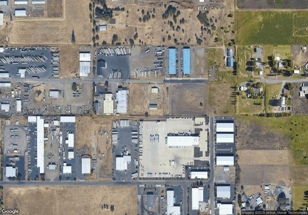
Map
- 5595 Table Rock Rd
- 5900 Peace Ln
- 225 Wilson Rd
- 2618 Rabun Way
- 4676 Industry Dr
- 532 Wilson Rd
- 4702 Industry Dr
- 2343 New Haven Dr
- 997 N Mountain Ave
- 0 Evan Way
- 1151 Helicopter Way
- 1141 Helicopter Way
- 2244 Evan Way
- 4595 Table Rock Rd
- 1250 Vilas Rd
- 2200 Lara Ln
- 6363 Harold Rd
- 1935 Walnut Grove Ln
- 499 Ridgeway Ave
- 523 Meadowbrook Dr
- 5558 Table Rock Rd
- 5596 Table Rock Rd
- 5596 Table Rock Rd Unit 106
- 5596 Table Rock Rd Unit 105
- 5600 Table Rock Rd
- 5429 Bierson Way -Lot4
- 5449 Bierson Way
- 5469 Bierson Way
- 5449 Bierson
- 355 Bateman Dr
- 5606 Table Rock Rd
- 5610 Table Rock Rd
- 5468 Bierson Way
- 5468 Bierson Way Unit 101
- 5468 Bierson Way Unit 201
- 5468 Bierson Way
- 5448 Bierson Way
- 5448 Bierson Way
- 5734 Table Rock Rd
- 245 Bateman
Ask me questions while you tour the home.