55983 Boston Rd Barnesville, OH 43713
Estimated Value: $178,000 - $276,000
3
Beds
2
Baths
1,144
Sq Ft
$208/Sq Ft
Est. Value
About This Home
This home is located at 55983 Boston Rd, Barnesville, OH 43713 and is currently estimated at $238,158, approximately $208 per square foot. 55983 Boston Rd is a home located in Belmont County with nearby schools including Barnesville Elementary School, Barnesville Middle School, and Barnesville High School.
Ownership History
Date
Name
Owned For
Owner Type
Purchase Details
Closed on
Feb 10, 2000
Sold by
Mcburney Jason B
Bought by
Mcburney Jason B
Current Estimated Value
Purchase Details
Closed on
Oct 27, 1999
Sold by
Leach Angela J
Bought by
Leach Angela J
Purchase Details
Closed on
Feb 11, 1999
Sold by
Leach Brian G and Leach Angela J
Bought by
Leach Brian G and Leach Angela J
Purchase Details
Closed on
Jan 1, 1986
Sold by
Leach Brian G
Bought by
Leach Brian G
Create a Home Valuation Report for This Property
The Home Valuation Report is an in-depth analysis detailing your home's value as well as a comparison with similar homes in the area
Purchase History
We collect this data history from publicly available records. To have your information removed, we recommend requesting removal directly through your county’s website.
| Date | Buyer | Sale Price | Title Company |
|---|---|---|---|
| Mcburney Jason B | $6,000 | -- | |
| Leach Angela J | -- | -- | |
| Leach Brian G | -- | -- | |
| Leach Brian G | -- | -- |
Source: Public Records
Tax History
| Year | Tax Paid | Tax Assessment Tax Assessment Total Assessment is a certain percentage of the fair market value that is determined by local assessors to be the total taxable value of land and additions on the property. | Land | Improvement |
|---|---|---|---|---|
| 2025 | $2,188 | $67,000 | $5,740 | $61,260 |
| 2023 | $1,828 | $54,150 | $4,560 | $49,590 |
| 2022 | $1,827 | $54,156 | $4,564 | $49,592 |
| 2021 | $1,831 | $54,156 | $4,564 | $49,592 |
| 2020 | $1,655 | $47,100 | $3,970 | $43,130 |
| 2019 | $1,658 | $47,100 | $3,970 | $43,130 |
| 2018 | $1,520 | $47,100 | $3,970 | $43,130 |
| 2017 | $1,384 | $39,190 | $4,320 | $34,870 |
| 2016 | $1,352 | $39,190 | $4,320 | $34,870 |
| 2015 | $1,348 | $39,190 | $4,320 | $34,870 |
| 2014 | $1,134 | $32,510 | $3,930 | $28,580 |
| 2013 | $1,142 | $32,510 | $3,930 | $28,580 |
Source: Public Records
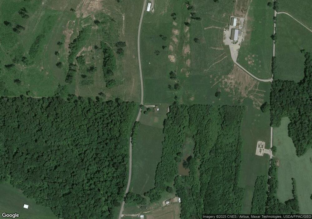
Map
Nearby Homes
- 0 Boston Rd Unit 11674152
- 57128 Somerton Hwy
- 53405 Calais Rd
- 0 Nevada Rd
- 211 Main Pike St
- 11 ac Whiskey Run Rd
- 50891 State Route 145
- 0 Tract 11 Miltonsburg-Calais Rd
- 0 Tract 11 Miltonsburg-Calais Rd
- V/L Miltonsburg-Calais Rd
- 217 Hunts Ave
- 152 E Main St
- 434 E Main St
- 501 W Main St
- TBD W Main St
- 0 Fairmont Ave Unit 5163774
- 0 Fairmont Ave Unit 5163784
- 501 E Main St
- 613 E Main St
- 126 Oak St
Your Personal Tour Guide
Ask me questions while you tour the home.