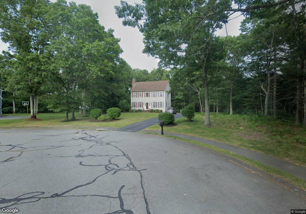
56 Arrowhead Ln Raynham, MA 02767
Estimated Value: $699,362 - $856,000
3
Beds
3
Baths
2,260
Sq Ft
$338/Sq Ft
Est. Value
About This Home
This home is located at 56 Arrowhead Ln, Raynham, MA 02767 and is currently estimated at $764,341, approximately $338 per square foot. 56 Arrowhead Ln is a home located in Bristol County with nearby schools including Merrill Elementary School, LaLiberte Elementary School, and Williams Intermediate School.
Ownership History
Date
Name
Owned For
Owner Type
Purchase Details
Closed on
Jun 1, 1999
Sold by
Welch Building Corp
Bought by
Athanasiou Christos and Athanasiou Olga
Current Estimated Value
Home Financials for this Owner
Home Financials are based on the most recent Mortgage that was taken out on this home.
Original Mortgage
$158,000
Interest Rate
6.82%
Mortgage Type
Purchase Money Mortgage
Create a Home Valuation Report for This Property
The Home Valuation Report is an in-depth analysis detailing your home's value as well as a comparison with similar homes in the area
Home Values in the Area
Average Home Value in this Area
Purchase History
We collect this data history from publicly available records. To have your information removed, we recommend requesting removal directly through your county’s website.
| Date | Buyer | Sale Price | Title Company |
|---|---|---|---|
| Athanasiou Christos | $208,295 | -- |
Source: Public Records
Mortgage History
We collect this data history from publicly available records. To have your information removed, we recommend requesting removal directly through your county’s website.
| Date | Status | Borrower | Loan Amount |
|---|---|---|---|
| Open | Athanasiou Christos | $190,000 | |
| Closed | Athanasiou Christos | $158,000 |
Source: Public Records
Tax History
| Year | Tax Paid | Tax Assessment Tax Assessment Total Assessment is a certain percentage of the fair market value that is determined by local assessors to be the total taxable value of land and additions on the property. | Land | Improvement |
|---|---|---|---|---|
| 2025 | $7,200 | $595,000 | $220,100 | $374,900 |
| 2024 | $7,168 | $577,100 | $220,100 | $357,000 |
| 2023 | $6,716 | $493,800 | $198,100 | $295,700 |
| 2022 | $6,362 | $429,000 | $180,100 | $248,900 |
| 2021 | $6,273 | $427,000 | $178,100 | $248,900 |
| 2020 | $6,067 | $421,000 | $172,100 | $248,900 |
| 2019 | $5,991 | $421,000 | $172,100 | $248,900 |
| 2018 | $5,888 | $395,200 | $168,100 | $227,100 |
| 2017 | $5,708 | $379,800 | $160,100 | $219,700 |
| 2016 | $5,612 | $374,600 | $154,900 | $219,700 |
| 2015 | $4,817 | $316,100 | $153,800 | $162,300 |
Source: Public Records
Map
Nearby Homes
- 58 Youngs Ln
- 46 Arrowhead Ln
- 1 Youngs Ln
- 2 Youngs Ln
- 22 Arrowhead Ln
- 6 Youngs Ln
- 26 High Ridge Dr
- 51 Arrowhead Ln
- 40 High Ridge Dr
- 37 Arrowhead Ln
- 3 Youngs Ln
- 2 Arrowhead Ln
- 60 High Ridge Dr
- 11 Arrowhead Ln
- 676 King Philip St
- 578 King Philip St
- 4 Youngs Ln
- 700 King Philip St
- 47 High Ridge Dr
- 35 Pontiac Rd
Your Personal Tour Guide
Ask me questions while you tour the home.