56 Deep Run Cohasset, MA 02025
Estimated Value: $1,707,405 - $2,171,000
4
Beds
3
Baths
3,420
Sq Ft
$587/Sq Ft
Est. Value
About This Home
This home is located at 56 Deep Run, Cohasset, MA 02025 and is currently estimated at $2,008,851, approximately $587 per square foot. 56 Deep Run is a home located in Norfolk County with nearby schools including Joseph Osgood School, Deer Hill School, and Cohasset Middle School.
Ownership History
Date
Name
Owned For
Owner Type
Purchase Details
Closed on
Jul 1, 2020
Sold by
Lualdi Paul L and Lualdi Robin C
Bought by
Paul L Lualdi Ret and Lualdi
Current Estimated Value
Purchase Details
Closed on
May 5, 1970
Bought by
Lualdi Paul L and Lualdi Robin C
Create a Home Valuation Report for This Property
The Home Valuation Report is an in-depth analysis detailing your home's value as well as a comparison with similar homes in the area
Home Values in the Area
Average Home Value in this Area
Purchase History
We collect this data history from publicly available records. To have your information removed, we recommend requesting removal directly through your county’s website.
| Date | Buyer | Sale Price | Title Company |
|---|---|---|---|
| Paul L Lualdi Ret | -- | None Available | |
| Paul L Lualdi Ret | -- | None Available | |
| Lualdi Paul L | -- | -- |
Source: Public Records
Tax History
| Year | Tax Paid | Tax Assessment Tax Assessment Total Assessment is a certain percentage of the fair market value that is determined by local assessors to be the total taxable value of land and additions on the property. | Land | Improvement |
|---|---|---|---|---|
| 2025 | $15,492 | $1,337,800 | $926,500 | $411,300 |
| 2024 | $15,612 | $1,282,800 | $882,400 | $400,400 |
| 2023 | $15,136 | $1,282,700 | $882,300 | $400,400 |
| 2022 | $15,655 | $1,246,400 | $882,300 | $364,100 |
| 2021 | $16,025 | $1,228,900 | $882,300 | $346,600 |
| 2020 | $14,087 | $1,086,100 | $739,500 | $346,600 |
| 2019 | $14,011 | $1,086,100 | $739,500 | $346,600 |
| 2018 | $13,891 | $1,086,100 | $739,500 | $346,600 |
| 2017 | $13,781 | $1,055,200 | $739,500 | $315,700 |
| 2016 | $13,591 | $1,055,200 | $739,500 | $315,700 |
| 2015 | $13,412 | $1,055,200 | $739,500 | $315,700 |
| 2014 | $13,232 | $1,055,200 | $739,500 | $315,700 |
Source: Public Records
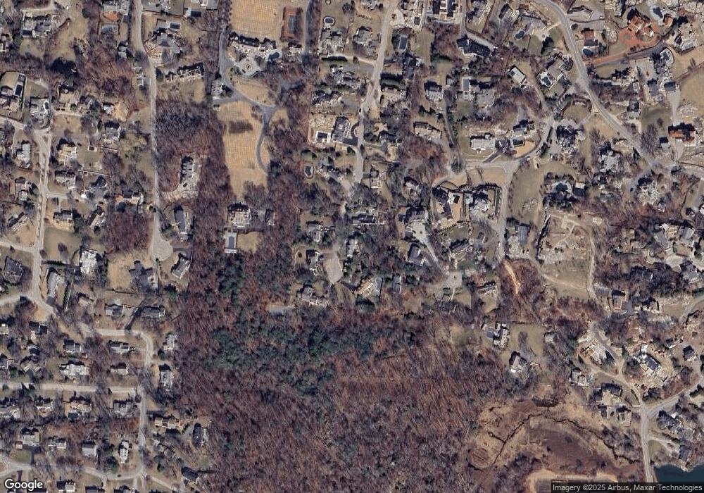
Map
Nearby Homes
- 554 Jerusalem Rd
- 130 Forest Ave
- 32 Howe Rd
- 30 Diab Ln Unit 8
- 14 Cedarledge Village
- 6 Montana Ave
- 792 Jerusalem Rd
- 181 Atlantic Ave
- 18 Cedarledge Village Unit 18
- 25 Mohawk Way
- 24 School St Unit A
- 26 School St Unit 206
- 215 Sohier St
- 9 Meade Ave Unit 1
- 48 Valley Beach Ave Unit 3
- 166 Hull St
- 26 Lamberts Ln
- 28 Lamberts Ln
- 128 Elm St Unit 313
- 94 Nantasket Ave
- 48 Deep Run
- 60 Deep Run
- 57 Jerusalem Road Dr
- 51 Deep Run
- 59 Deep Run
- 59 Jerusalem Road Dr
- 55 Jerusalem Road Dr
- 42 Deep Run
- 17 Haystack Ln
- 39 Deep Run
- 61 Deep Run
- 14 Haystack Ln
- 51 Jerusalem Road Dr
- 52 Jerusalem Road Dr
- 32 Deep Run
- 31 Deep Run
- 35 Jerusalem Road Dr
- 35 Jerusalem Rd
- 422 Jerusalem Rd
- 15 Haystack Ln
Your Personal Tour Guide
Ask me questions while you tour the home.