Estimated Value: $193,122 - $326,000
Studio
--
Bath
819
Sq Ft
$339/Sq Ft
Est. Value
About This Home
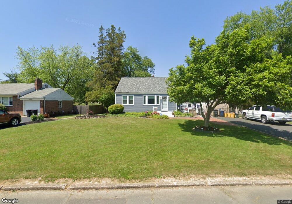
This home is located at 56 Main Blvd, Ewing, NJ 08618 and is currently estimated at $277,781, approximately $339 per square foot. 56 Main Blvd is a home located in Mercer County with nearby schools including Ewing High School, The Village Charter School, and Trenton Stem-To-Civics Charter School.
Ownership History
Date
Name
Owned For
Owner Type
Purchase Details
Closed on
Jun 27, 1997
Sold by
Ruggerio Carol
Bought by
Sobke Michael
Current Estimated Value
Home Financials for this Owner
Home Financials are based on the most recent Mortgage that was taken out on this home.
Original Mortgage
$77,000
Outstanding Balance
$11,388
Interest Rate
7.86%
Estimated Equity
$266,393
Purchase Details
Closed on
Apr 10, 1989
Sold by
Pallone Thomas S
Bought by
Ruggerio Anthony and Ruggerio Carol
Create a Home Valuation Report for This Property
The Home Valuation Report is an in-depth analysis detailing your home's value as well as a comparison with similar homes in the area
Home Values in the Area
Average Home Value in this Area
Purchase History
| Date | Buyer | Sale Price | Title Company |
|---|---|---|---|
| Sobke Michael | $83,000 | -- | |
| Ruggerio Anthony | $105,000 | -- |
Source: Public Records
Mortgage History
| Date | Status | Borrower | Loan Amount |
|---|---|---|---|
| Open | Sobke Michael | $77,000 |
Source: Public Records
Tax History
| Year | Tax Paid | Tax Assessment Tax Assessment Total Assessment is a certain percentage of the fair market value that is determined by local assessors to be the total taxable value of land and additions on the property. | Land | Improvement |
|---|---|---|---|---|
| 2025 | $5,506 | $140,000 | $54,200 | $85,800 |
| 2024 | $5,176 | $140,000 | $54,200 | $85,800 |
| 2023 | $5,176 | $140,000 | $54,200 | $85,800 |
| 2022 | $5,036 | $140,000 | $54,200 | $85,800 |
| 2021 | $4,913 | $140,000 | $54,200 | $85,800 |
| 2020 | $4,310 | $124,600 | $54,200 | $70,400 |
| 2019 | $4,198 | $124,600 | $54,200 | $70,400 |
| 2018 | $4,463 | $84,500 | $35,800 | $48,700 |
| 2017 | $4,567 | $84,500 | $35,800 | $48,700 |
| 2016 | $4,506 | $84,500 | $35,800 | $48,700 |
| 2015 | $4,446 | $84,500 | $35,800 | $48,700 |
| 2014 | $4,434 | $84,500 | $35,800 | $48,700 |
Source: Public Records
Map
Nearby Homes
- 41 Harding St
- 53 Carlton Ave
- 1247 Lower Ferry Rd
- 1183 Lower Ferry Rd
- 1060 Terrace Blvd
- 20 Steinway Ave
- 1005 Terrace Blvd
- 126 Rutledge Ave
- 13 Hickory Hill Dr
- 33 Stratford Ave
- 27 Walton Ave
- 56 Ridgewood Ave
- 27 Bayberry Rd
- 161 Louisiana Ave
- 2 Rockleigh Dr
- 104 King Ave
- 1205 Parkway Ave
- 955 Terrace Blvd
- 30 Upper Ferry Rd
- 140 Crescent Ave
Your Personal Tour Guide
Ask me questions while you tour the home.