Estimated Value: $669,000 - $1,092,169
4
Beds
3
Baths
2,000
Sq Ft
$410/Sq Ft
Est. Value
About This Home
This home is located at 56 Moose Run Rd, Wayne, ME 04284 and is currently estimated at $819,542, approximately $409 per square foot. 56 Moose Run Rd is a home located in Kennebec County.
Ownership History
Date
Name
Owned For
Owner Type
Purchase Details
Closed on
Apr 22, 2025
Sold by
Soderberg Kathryn M
Bought by
Kathryn M Soderberg Ret and Soderberg
Current Estimated Value
Purchase Details
Closed on
Jul 6, 2011
Sold by
Amico Joseph C
Bought by
Soderberg Kathryn M
Purchase Details
Closed on
Aug 2, 2006
Sold by
Evelyn T Boyce Ft and Boyce
Bought by
Amico Jill and Amico Joseph C
Home Financials for this Owner
Home Financials are based on the most recent Mortgage that was taken out on this home.
Original Mortgage
$391,000
Interest Rate
6.7%
Mortgage Type
Purchase Money Mortgage
Create a Home Valuation Report for This Property
The Home Valuation Report is an in-depth analysis detailing your home's value as well as a comparison with similar homes in the area
Home Values in the Area
Average Home Value in this Area
Purchase History
| Date | Buyer | Sale Price | Title Company |
|---|---|---|---|
| Kathryn M Soderberg Ret | -- | None Available | |
| Kathryn M Soderberg Ret | -- | None Available | |
| Kathryn M Soderberg Ret | -- | None Available | |
| Soderberg Kathryn M | -- | -- | |
| Soderberg Kathryn M | -- | -- | |
| Amico Jill | -- | -- | |
| Amico Jill | -- | -- | |
| Amico Jill | -- | -- |
Source: Public Records
Mortgage History
| Date | Status | Borrower | Loan Amount |
|---|---|---|---|
| Previous Owner | Amico Jill | $391,000 |
Source: Public Records
Tax History
| Year | Tax Paid | Tax Assessment Tax Assessment Total Assessment is a certain percentage of the fair market value that is determined by local assessors to be the total taxable value of land and additions on the property. | Land | Improvement |
|---|---|---|---|---|
| 2024 | $12,174 | $1,029,100 | $548,400 | $480,700 |
| 2023 | $10,300 | $500,000 | $291,400 | $208,600 |
| 2022 | $9,050 | $479,600 | $291,400 | $188,200 |
| 2021 | $8,614 | $479,600 | $291,400 | $188,200 |
| 2020 | $8,633 | $480,700 | $291,400 | $189,300 |
| 2019 | $8,614 | $479,600 | $291,400 | $188,200 |
| 2017 | $7,765 | $479,600 | $291,400 | $188,200 |
| 2016 | $7,112 | $479,600 | $291,400 | $188,200 |
| 2015 | $6,988 | $479,600 | $291,400 | $188,200 |
| 2014 | $6,892 | $479,600 | $291,400 | $188,200 |
| 2013 | $6,810 | $479,600 | $291,400 | $188,200 |
Source: Public Records
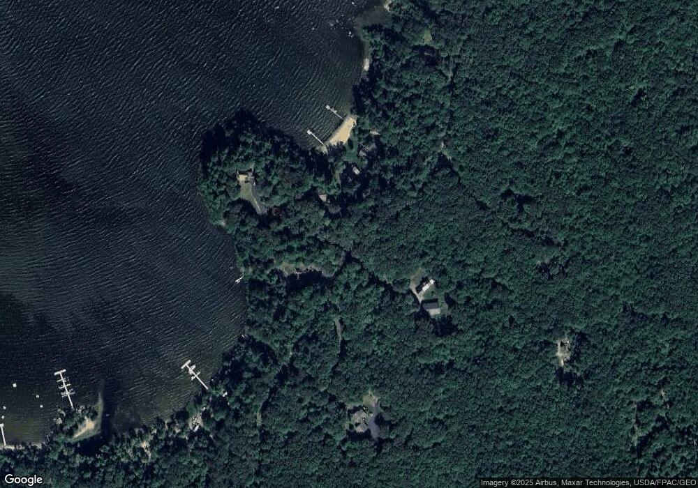
Map
Nearby Homes
- 200 Back St
- 147 N Main St
- 583 Route 106
- 103 Bog Rd
- 7 Old Lewiston Rd
- 16 Davis Point Rd
- 192 Turkey Ln
- Lot #6 Anderson Dr
- 156 Lakeshore Dr
- 962 Main St Unit 10
- 506 Main St
- Lot# 8 Anderson Dr
- 591 North Rd
- 376 Main St
- 78 Anderson Dr
- 72 Anderson Dr
- 381 Turkey Ln
- M 6, L 32 Main St
- 172-B Annabessacook Rd
- 172 Annabessacook Rd
- 12 Nicholson Dr
- 6 Nicholson Dr
- 52 Moose Run Rd
- 16 Nicholson Dr
- 34 Moose Run Rd
- 18 Nicholson Dr
- Map15 Lot2 Moose Run Rd
- 0 Moose Run Rd Unit 1058449
- 24 Nicholson Dr
- 90 Moose Run Rd
- 100 Moose Run Rd
- 4A Cranberry Ln
- 4 Cranberry Ln
- 4 Cranberry Ln Unit A
- 61 Moose Run Rd
- 51 Moose Run Rd
- 51 Moose Run Rd
- 136 Moose Run Rd
- 152 Moose Run Rd
- 61 Campground Rd
Your Personal Tour Guide
Ask me questions while you tour the home.