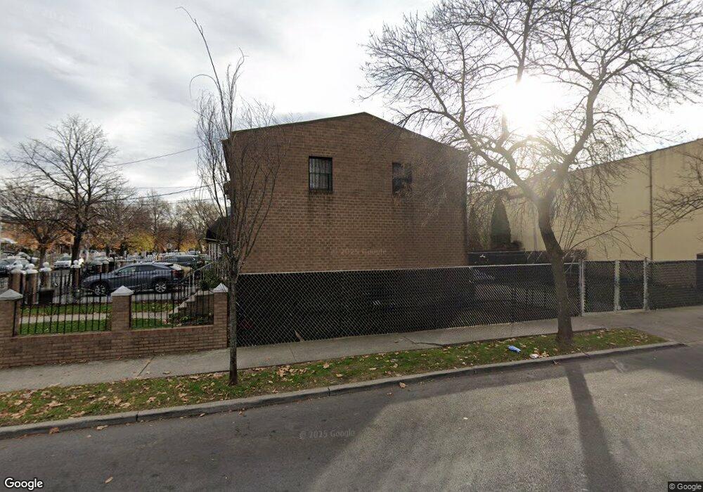
560 Powell St Brooklyn, NY 11212
Brownsville NeighborhoodEstimated Value: $571,098 - $700,000
About This Home
This home is located at 560 Powell St, Brooklyn, NY 11212 and is currently estimated at $644,775, approximately $577 per square foot. 560 Powell St is a home located in Kings County with nearby schools including P.S. 165 Ida Posner, P.S. 150 - Christopher, and P.S. 156 Waverly.
Ownership History
We collect this data history from publicly available records. To have your information removed, we recommend requesting removal directly through your county’s website.
Purchase Details
Purchase Details
Home Values in the Area
Average Home Value in this Area
Purchase History
We collect this data history from publicly available records. To have your information removed, we recommend requesting removal directly through your county’s website.
| Date | Buyer | Sale Price | Title Company |
|---|---|---|---|
| -- | -- | ||
| -- | -- | ||
| -- | -- | ||
| -- | -- |
Mortgage History
We collect this data history from publicly available records. To have your information removed, we recommend requesting removal directly through your county’s website.
| Date | Status | Borrower | Loan Amount |
|---|---|---|---|
| Closed | $0 |
Tax History
We collect this data history from publicly available records. To have your information removed, we recommend requesting removal directly through your county’s website.
| Year | Tax Paid | Tax Assessment Tax Assessment Total Assessment is a certain percentage of the fair market value that is determined by local assessors to be the total taxable value of land and additions on the property. | Land | Improvement |
|---|---|---|---|---|
| 2026 | $5,602 | $36,900 | $15,900 | $21,000 |
| 2025 | $5,397 | $35,160 | $15,900 | $19,260 |
| 2024 | $5,397 | $41,340 | $15,900 | $25,440 |
| 2023 | $5,303 | $36,540 | $15,900 | $20,640 |
| 2022 | $4,918 | $30,720 | $15,900 | $14,820 |
| 2021 | $4,891 | $33,660 | $15,900 | $17,760 |
| 2020 | $2,431 | $25,440 | $15,900 | $9,540 |
| 2019 | $4,685 | $25,440 | $15,900 | $9,540 |
| 2018 | $4,436 | $21,760 | $11,441 | $10,319 |
| 2017 | $4,185 | $20,529 | $11,852 | $8,677 |
| 2016 | $3,872 | $19,368 | $14,499 | $4,869 |
| 2015 | $2,116 | $19,368 | $12,626 | $6,742 |
| 2014 | $2,116 | $18,662 | $12,166 | $6,496 |
Map
- 699 Sackman St
- 546 Powell St
- 797 Mother Gaston Blvd
- 555 Christopher Ave
- 428 Newport St
- 570 Christopher Ave
- 578 Christopher Ave
- 533 Snediker Ave
- 584 Hinsdale St
- 450 Newport St
- 587 Osborn St
- 515 Hinsdale St
- 578 Williams Ave
- 639 Watkins St
- 650 Williams Ave
- 1753 Linden Blvd
- 660 Williams Ave
- 460 Hinsdale St
- 504 Thatford Ave
- 606 Alabama Ave
- 701 Sackman St
- 703 Sackman St
- 705 Sackman St
- 346 Newport St
- 707 Sackman St
- 697 Sackman St
- 709 Sackman St
- 695 Sackman St
- 711 Sackman St
- 562 Powell St
- 564 Powell St
- 693 Sackman St
- 566 Powell St
- 713 Sackman St
- 568 Powell St
- 691 Sackman St
- 558 Powell St
- 570 Powell St
- 700 Sackman St
- 700 Sackman St Unit 2
Ask me questions while you tour the home.