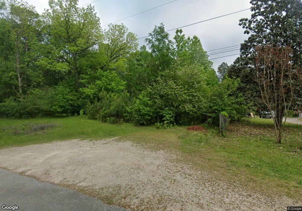
560 Sivell Rd Lagrange, GA 30241
LaGrange AreaEstimated Value: $65,184 - $233,000
About This Home
This home is located at 560 Sivell Rd, Lagrange, GA 30241 and is currently estimated at $165,546, approximately $225 per square foot. 560 Sivell Rd is a home located in Troup County with nearby schools including Callaway Elementary School, Hogansville Elementary School, and Callaway Middle School.
Ownership History
We collect this data history from publicly available records. To have your information removed, we recommend requesting removal directly through your county’s website.
Purchase Details
Purchase Details
Purchase Details
Purchase Details
Purchase Details
Purchase History
We collect this data history from publicly available records. To have your information removed, we recommend requesting removal directly through your county’s website.
| Date | Buyer | Sale Price | Title Company |
|---|---|---|---|
| $2,500 | -- | ||
| -- | -- | ||
| -- | -- | ||
| -- | -- | ||
| -- | -- |
Tax History
We collect this data history from publicly available records. To have your information removed, we recommend requesting removal directly through your county’s website.
| Year | Tax Paid | Tax Assessment Tax Assessment Total Assessment is a certain percentage of the fair market value that is determined by local assessors to be the total taxable value of land and additions on the property. | Land | Improvement |
|---|---|---|---|---|
| 2025 | $334 | $12,240 | $11,840 | $400 |
| 2024 | $334 | $12,240 | $11,840 | $400 |
| 2023 | $295 | $10,800 | $10,080 | $720 |
| 2022 | $301 | $10,800 | $10,080 | $720 |
| 2021 | $277 | $10,800 | $10,080 | $720 |
| 2020 | $351 | $11,640 | $10,080 | $1,560 |
| 2019 | $353 | $11,720 | $10,080 | $1,640 |
| 2018 | $349 | $11,560 | $10,080 | $1,480 |
| 2017 | $349 | $11,560 | $10,080 | $1,480 |
| 2016 | $351 | $11,635 | $10,087 | $1,548 |
| 2015 | $351 | $11,635 | $10,087 | $1,548 |
| 2014 | $549 | $11,554 | $10,087 | $1,467 |
| 2013 | -- | $18,424 | $15,008 | $3,416 |
Map
- SMOKEMONT Smokemont Dr
- 95 Beaver Run
- 10 Whitfield Rd
- 201 Moccasin Trail
- 113 Perimeter Dr
- 119 Sir Lancelot St
- 112 Sir Lancelot St
- 210 Old Pond Rd
- 239 Old Pond Rd
- 241 Old Pond Rd
- 320 Old Pond Rd
- 438 Brookstone Dr
- 109 Ridgefield Dr
- 318 Brookstone Dr
- 259 Hammett Rd
- 402 Sweetwood Ct
- 202 Freshwater Ct
- 204 Freshwater Ct
- 206 Freshwater Ct
- 203 N Cary St
Ask me questions while you tour the home.