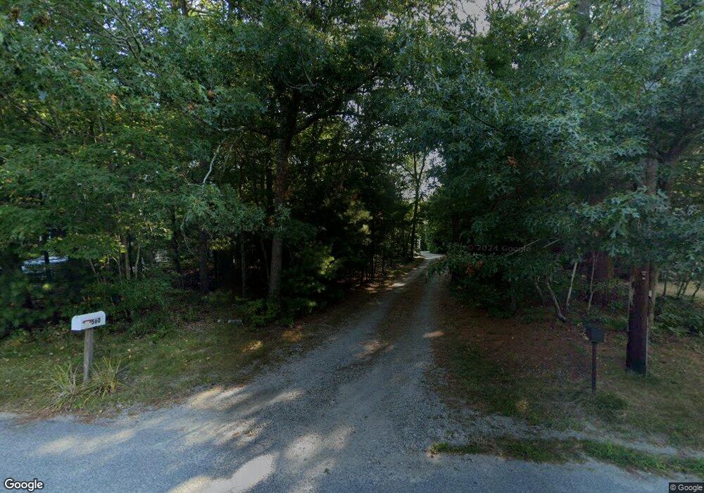
560 Skunknet Rd Centerville, MA 02632
Centerville NeighborhoodEstimated Value: $587,000 - $695,000
About This Home
This home is located at 560 Skunknet Rd, Centerville, MA 02632 and is currently estimated at $636,714, approximately $371 per square foot. 560 Skunknet Rd is a home located in Barnstable County with nearby schools including Barnstable United Elementary School, Centerville Elementary School, and Barnstable Intermediate School.
Ownership History
We collect this data history from publicly available records. To have your information removed, we recommend requesting removal directly through your county’s website.
Purchase Details
Purchase Details
Home Financials for this Owner
Home Financials are based on the most recent Mortgage that was taken out on this home.Purchase Details
Purchase Details
Purchase Details
Home Financials for this Owner
Home Financials are based on the most recent Mortgage that was taken out on this home.Purchase Details
Purchase Details
Home Values in the Area
Average Home Value in this Area
Purchase History
We collect this data history from publicly available records. To have your information removed, we recommend requesting removal directly through your county’s website.
| Date | Buyer | Sale Price | Title Company |
|---|---|---|---|
| -- | None Available | ||
| -- | None Available | ||
| $275,000 | -- | ||
| $275,000 | -- | ||
| $149,900 | -- | ||
| $149,900 | -- | ||
| $251,511 | -- | ||
| $251,511 | -- | ||
| $286,000 | -- | ||
| $286,000 | -- | ||
| $159,900 | -- | ||
| $159,900 | -- | ||
| $79,900 | -- | ||
| $79,900 | -- |
Mortgage History
We collect this data history from publicly available records. To have your information removed, we recommend requesting removal directly through your county’s website.
| Date | Status | Borrower | Loan Amount |
|---|---|---|---|
| Previous Owner | $220,000 | ||
| Previous Owner | $286,000 |
Tax History
We collect this data history from publicly available records. To have your information removed, we recommend requesting removal directly through your county’s website.
| Year | Tax Paid | Tax Assessment Tax Assessment Total Assessment is a certain percentage of the fair market value that is determined by local assessors to be the total taxable value of land and additions on the property. | Land | Improvement |
|---|---|---|---|---|
| 2025 | $4,642 | $573,800 | $158,800 | $415,000 |
| 2024 | $4,303 | $550,900 | $158,800 | $392,100 |
| 2023 | $4,018 | $481,800 | $144,400 | $337,400 |
| 2022 | $3,786 | $392,700 | $106,900 | $285,800 |
| 2021 | $3,566 | $339,900 | $106,900 | $233,000 |
| 2020 | $3,416 | $311,700 | $106,900 | $204,800 |
| 2019 | $3,467 | $307,400 | $106,900 | $200,500 |
| 2018 | $3,082 | $274,700 | $112,600 | $162,100 |
| 2017 | $2,944 | $273,600 | $112,600 | $161,000 |
| 2016 | $2,987 | $274,000 | $113,000 | $161,000 |
| 2015 | $2,857 | $263,300 | $111,500 | $151,800 |
Map
- 562 Skunknet Rd
- 48 Bridgets Path
- 105 Taramac Rd
- 302 Ames Way
- 49 Powderhorn Way
- 14 Valley Brook Rd
- 168 Highland Dr
- 1309 Shootflying Hill Rd
- 1309 Shootflying Hill Rd
- 53 Meadow Farm Rd
- 52 Meadow Farm Rd
- 16 Maple Rd
- 23 Baird Way
- 195 Knotty Pine Ln
- 1115 Shootflying Hill Rd
- 39 Indian Trail
- 3 Yacht Club Rd
- 53 Hadrada Ln
- 38 White Oak Trail
- 3 Thoreau Dr
- 536 Skunknet Rd
- 554 Skunknet Rd
- 568 Skunknet Rd
- 542 Skunknet Rd
- 532 Skunknet Rd
- 584 Skunknet Rd
- 578 Skunknet Rd
- 559 Skunknet Rd
- 516 Skunknet Rd
- 586 Skunknet Rd
- 569 Skunknet Rd
- 221 Donegal Cir
- 592 Skunknet Rd
- 579 Skunknet Rd
- 8 Natka Dr
- 191 Taramac Rd
- 608 Skunknet Rd
- 20 Natka Dr
- 201 Taramac Rd
- 589 Skunknet Rd
Ask me questions while you tour the home.