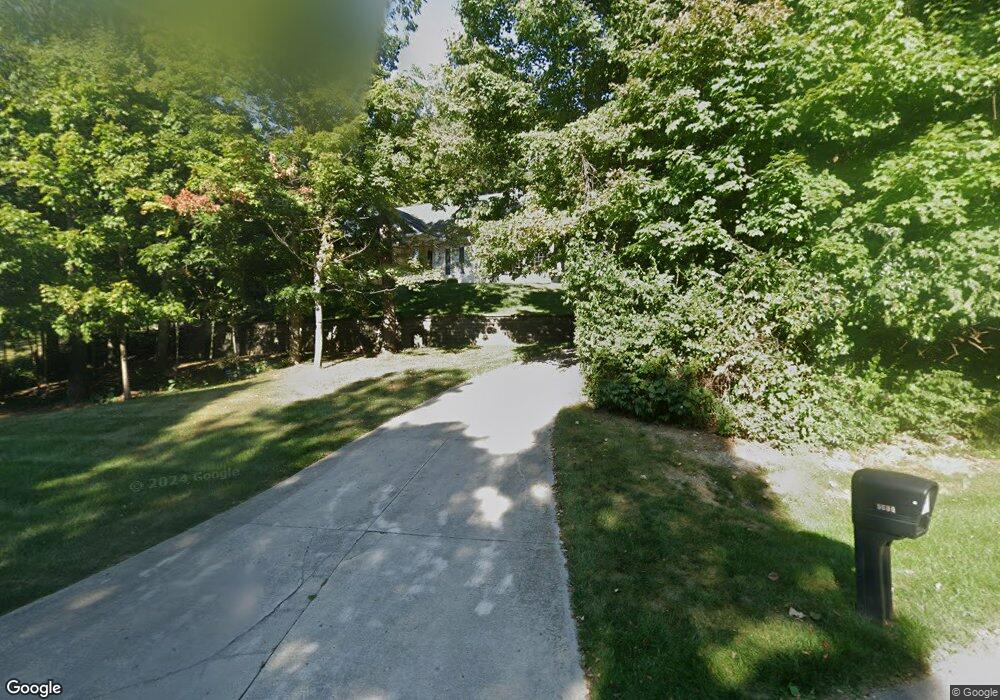
5600 Kizer Ln Springfield, OH 45502
Estimated Value: $404,000 - $605,000
3
Beds
3
Baths
3,231
Sq Ft
$161/Sq Ft
Est. Value
About This Home
This home is located at 5600 Kizer Ln, Springfield, OH 45502 and is currently estimated at $519,320, approximately $160 per square foot. 5600 Kizer Ln is a home located in Clark County with nearby schools including Northridge Elementary School and Kenton Ridge Middle & High School.
Ownership History
Date
Name
Owned For
Owner Type
Purchase Details
Closed on
Jun 30, 2000
Sold by
Countrytyme Inc
Bought by
Marlin David L and Marlin Lori A
Current Estimated Value
Home Financials for this Owner
Home Financials are based on the most recent Mortgage that was taken out on this home.
Original Mortgage
$30,000
Interest Rate
8.64%
Create a Home Valuation Report for This Property
The Home Valuation Report is an in-depth analysis detailing your home's value as well as a comparison with similar homes in the area
Home Values in the Area
Average Home Value in this Area
Purchase History
| Date | Buyer | Sale Price | Title Company |
|---|---|---|---|
| Marlin David L | $40,500 | The Title Company Ltd |
Source: Public Records
Mortgage History
| Date | Status | Borrower | Loan Amount |
|---|---|---|---|
| Closed | Marlin David L | $30,000 |
Source: Public Records
Tax History
| Year | Tax Paid | Tax Assessment Tax Assessment Total Assessment is a certain percentage of the fair market value that is determined by local assessors to be the total taxable value of land and additions on the property. | Land | Improvement |
|---|---|---|---|---|
| 2025 | $5,767 | $164,740 | $24,050 | $140,690 |
| 2024 | $5,582 | $129,070 | $21,310 | $107,760 |
| 2023 | $5,582 | $129,070 | $21,310 | $107,760 |
| 2022 | $5,602 | $129,070 | $21,310 | $107,760 |
| 2021 | $5,400 | $105,410 | $16,520 | $88,890 |
| 2020 | $5,404 | $105,410 | $16,520 | $88,890 |
| 2019 | $5,507 | $105,410 | $16,520 | $88,890 |
| 2018 | $5,458 | $100,210 | $16,520 | $83,690 |
| 2017 | $4,697 | $96,264 | $16,520 | $79,744 |
| 2016 | $4,665 | $96,264 | $16,520 | $79,744 |
| 2015 | $4,503 | $100,482 | $16,520 | $83,962 |
| 2014 | $4,502 | $100,482 | $16,520 | $83,962 |
| 2013 | $4,400 | $100,482 | $16,520 | $83,962 |
Source: Public Records
Map
Nearby Homes
- 937 Willow Rd
- 5300 Brookshire Ln
- 1042 Willow Rd
- 519 Moorefield Rd
- 5235 W Ridgewood Rd
- 1309 Richmoor Rd
- 0 Moorefield Rd
- 1470 Oldham Dr Unit 12
- 4733 Curtis Dr
- 4741 Cullen Ave
- 4802 Willowbrook Dr
- 1730 Willow Rd
- 1977 Willoughby Ave
- 4841 Chippendale Dr
- 1052 Cheyenne Ave Unit 1052
- 5645 Springfield-Urbana Pike Unit Lot 67
- 5646 Springfield-Urbana Pike Unit Lot 30
- 5646 Springfield-Urbana Pike Unit Lot 61
- 5646 Springfield-Urbana Pike Unit Lot 72
- 4732 Lehigh Dr
Your Personal Tour Guide
Ask me questions while you tour the home.