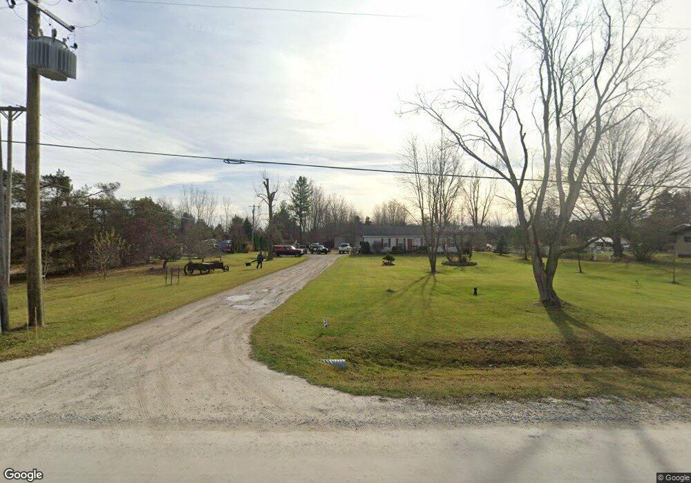
5601 Dove Rd Kimball, MI 48074
Estimated Value: $159,000 - $305,000
3
Beds
1
Bath
1,554
Sq Ft
$149/Sq Ft
Est. Value
About This Home
This home is located at 5601 Dove Rd, Kimball, MI 48074 and is currently estimated at $232,000, approximately $149 per square foot. 5601 Dove Rd is a home with nearby schools including Kimball Elementary School, Central Middle School, and Port Huron High School.
Ownership History
Date
Name
Owned For
Owner Type
Purchase Details
Closed on
Oct 23, 2017
Sold by
Shaffer Clarence and Shaffer Joyce
Bought by
Shaffer Randy
Current Estimated Value
Home Financials for this Owner
Home Financials are based on the most recent Mortgage that was taken out on this home.
Original Mortgage
$83,000
Interest Rate
3.83%
Mortgage Type
New Conventional
Purchase Details
Closed on
Apr 3, 2009
Sold by
Shaffer Clarence and Shaffer Joyce
Bought by
Shaffer Clarence and Shaffer Joyce
Create a Home Valuation Report for This Property
The Home Valuation Report is an in-depth analysis detailing your home's value as well as a comparison with similar homes in the area
Home Values in the Area
Average Home Value in this Area
Purchase History
| Date | Buyer | Sale Price | Title Company |
|---|---|---|---|
| Shaffer Randy | -- | Transnation Title | |
| Shaffer Clarence | -- | None Available |
Source: Public Records
Mortgage History
| Date | Status | Borrower | Loan Amount |
|---|---|---|---|
| Closed | Shaffer Randy | $83,000 |
Source: Public Records
Tax History
| Year | Tax Paid | Tax Assessment Tax Assessment Total Assessment is a certain percentage of the fair market value that is determined by local assessors to be the total taxable value of land and additions on the property. | Land | Improvement |
|---|---|---|---|---|
| 2025 | $1,028 | $98,800 | $0 | $0 |
| 2024 | $998 | $99,100 | $0 | $0 |
| 2023 | $914 | $96,600 | $0 | $0 |
| 2022 | $1,573 | $81,400 | $0 | $0 |
| 2020 | $1,420 | $66,000 | $66,000 | $0 |
| 2019 | $1,394 | $56,200 | $0 | $0 |
| 2018 | $1,431 | $58,100 | $0 | $0 |
| 2017 | $1,440 | $69,800 | $0 | $0 |
| 2016 | $804 | $69,800 | $0 | $0 |
| 2015 | -- | $64,500 | $64,500 | $0 |
| 2014 | -- | $68,000 | $68,000 | $0 |
| 2013 | -- | $55,600 | $0 | $0 |
Source: Public Records
Map
Nearby Homes
- 6154 Birch Creek Ct
- 1906 Morningstar Ave
- 2007 Edward Ln E
- 00 Griswold Rd
- 1604 Allen Rd
- 2047 Edward Ln E
- V/L Allen
- 5117 Ravenswood Rd
- 6417 Dove Rd
- 656 Wadhams Rd
- 1786 Omar Rd
- 1814 Leland Rd
- 00 Smiths Creek Rd Smiths Creek Rd
- 0 Wadhams Rd Unit 50155021
- 0 Allen Rd Unit 20250008597
- 0 Allen Rd Unit 20250008612
- 5265 Smiths Creek Rd
- 0 Ravenswood Rd Unit 20251017048
- 0000 Ravenswood Rd
- 00 Howard Rd
Your Personal Tour Guide
Ask me questions while you tour the home.