5601 E Hwy 73 None Concord, NC 28025
Estimated Value: $234,000 - $327,000
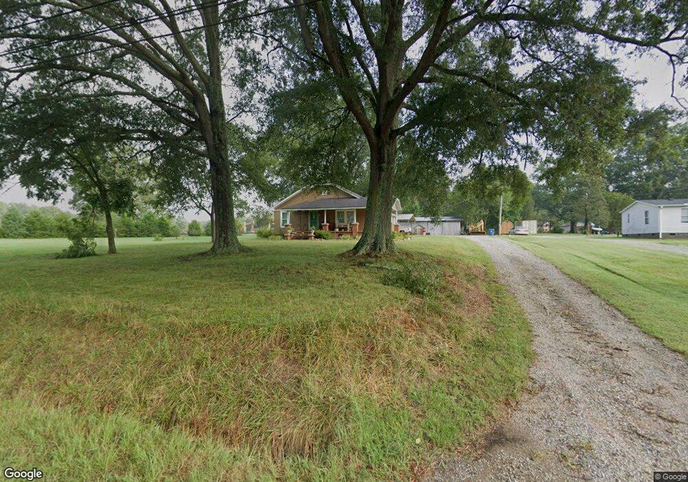
About This Home
This home is located at 5601 E Hwy 73 None, Concord, NC 28025 and is currently estimated at $268,163, approximately $196 per square foot. 5601 E Hwy 73 None is a home located in Cabarrus County with nearby schools including W.M. Irvin Elementary School, Mount Pleasant Middle School, and Mount Pleasant High School.
Ownership History
We collect this data history from publicly available records. To have your information removed, we recommend requesting removal directly through your county’s website.
Purchase Details
Home Financials for this Owner
Home Financials are based on the most recent Mortgage that was taken out on this home.Purchase Details
Purchase Details
Purchase Details
Home Financials for this Owner
Home Financials are based on the most recent Mortgage that was taken out on this home.Purchase Details
Home Values in the Area
Average Home Value in this Area
Purchase History
We collect this data history from publicly available records. To have your information removed, we recommend requesting removal directly through your county’s website.
| Date | Buyer | Sale Price | Title Company |
|---|---|---|---|
| -- | None Available | ||
| $39,000 | None Available | ||
| -- | None Available | ||
| $126,500 | None Available | ||
| $38,500 | -- |
Mortgage History
We collect this data history from publicly available records. To have your information removed, we recommend requesting removal directly through your county’s website.
| Date | Status | Borrower | Loan Amount |
|---|---|---|---|
| Open | $40,000 | ||
| Previous Owner | $101,200 |
Tax History
We collect this data history from publicly available records. To have your information removed, we recommend requesting removal directly through your county’s website.
| Year | Tax Paid | Tax Assessment Tax Assessment Total Assessment is a certain percentage of the fair market value that is determined by local assessors to be the total taxable value of land and additions on the property. | Land | Improvement |
|---|---|---|---|---|
| 2025 | $1,467 | $213,840 | $59,150 | $154,690 |
| 2024 | $1,467 | $213,840 | $59,150 | $154,690 |
| 2023 | $1,145 | $133,420 | $38,910 | $94,510 |
| 2022 | $1,145 | $133,420 | $38,910 | $94,510 |
| 2021 | $1,145 | $133,420 | $38,910 | $94,510 |
| 2020 | $1,145 | $133,420 | $38,910 | $94,510 |
| 2019 | $974 | $113,540 | $32,690 | $80,850 |
| 2018 | $934 | $113,540 | $32,690 | $80,850 |
| 2017 | $912 | $113,540 | $32,690 | $80,850 |
| 2016 | $912 | $111,770 | $34,240 | $77,530 |
| 2015 | -- | $111,770 | $34,240 | $77,530 |
| 2014 | -- | $111,770 | $34,240 | $77,530 |
Map
- 1223 Walker Rd
- 4571 Laurelwood Ct
- 6823 Glen Abbey Ln
- 6823 Glen Abbey Ln Unit Lot 3
- 470 & 460 S Moose Rd
- 6853 Glen Abbey Ln
- 6853 Glen Abby Ln
- 6907 Glen Abbey Ln
- 6913 Glen Abbey Ln Unit 10
- 6932 Glen Abbey Ln
- 6401 State Highway 49
- 527 Oleander St Unit Lot 20
- 527 Oleander St
- 6910 State Highway 49
- 1151 Pine Cross Dr
- 3806 Amsbury Rd
- 1130 Allman Extension
- 1660 Songwood Rd
- 3832 Elkwood Ct
- 1684 Red Bird Cir
- 5601 Nc-73
- 5601 Highway 73 E
- The Coleman Plan at
- The Benson II Plan at
- The James Plan at
- The McGinnis Plan at
- The Landen Plan at
- The Caldwell Plan at
- The Harrington Plan at
- 16 Wendall Ln Unit 36756714
- 31 Green Acres Cir
- 97 Green Acres Cir
- 5610 Highway 73 E
- 51 Green Acres Cir
- 5655 Arnold Way
- 1234 Arnold Way
- 30 Green Acres Cir
- 98 Green Acres Cir
- 5701 Highway 73 E
- 5701 Nc Hwy 73 E
Ask me questions while you tour the home.