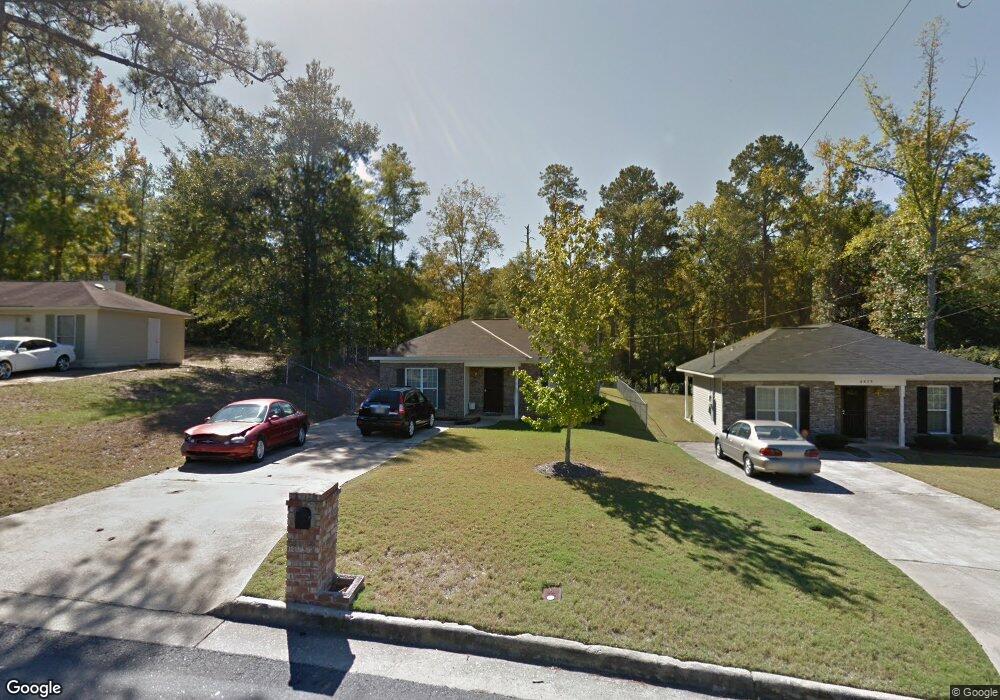
5602 Boby Dr Columbus, GA 31907
East Columbus NeighborhoodEstimated Value: $152,000 - $162,672
3
Beds
3
Baths
1,262
Sq Ft
$126/Sq Ft
Est. Value
About This Home
This home is located at 5602 Boby Dr, Columbus, GA 31907 and is currently estimated at $159,168, approximately $126 per square foot. 5602 Boby Dr is a home located in Muscogee County with nearby schools including Forrest Road Elementary School, Fort Middle School, and Kendrick High School.
Ownership History
Date
Name
Owned For
Owner Type
Purchase Details
Closed on
May 14, 2008
Sold by
Wachovia Mortgage Corp
Bought by
Dennison Wendy
Current Estimated Value
Home Financials for this Owner
Home Financials are based on the most recent Mortgage that was taken out on this home.
Original Mortgage
$90,250
Outstanding Balance
$57,513
Interest Rate
6%
Mortgage Type
Purchase Money Mortgage
Estimated Equity
$101,655
Purchase Details
Closed on
Nov 6, 2007
Sold by
Wachovia Mortgage Corp
Bought by
Federal National Mortgage Association
Create a Home Valuation Report for This Property
The Home Valuation Report is an in-depth analysis detailing your home's value as well as a comparison with similar homes in the area
Home Values in the Area
Average Home Value in this Area
Purchase History
| Date | Buyer | Sale Price | Title Company |
|---|---|---|---|
| Dennison Wendy | $95,000 | None Available | |
| Federal National Mortgage Association | -- | None Available | |
| Wachovia Mortgage Corp | $115,000 | None Available |
Source: Public Records
Mortgage History
| Date | Status | Borrower | Loan Amount |
|---|---|---|---|
| Open | Dennison Wendy | $90,250 |
Source: Public Records
Tax History
| Year | Tax Paid | Tax Assessment Tax Assessment Total Assessment is a certain percentage of the fair market value that is determined by local assessors to be the total taxable value of land and additions on the property. | Land | Improvement |
|---|---|---|---|---|
| 2025 | $1,381 | $52,664 | $8,804 | $43,860 |
| 2024 | $1,380 | $52,664 | $8,804 | $43,860 |
| 2023 | $694 | $52,664 | $8,804 | $43,860 |
| 2022 | $1,439 | $44,472 | $8,804 | $35,668 |
| 2021 | $1,432 | $36,432 | $8,804 | $27,628 |
| 2020 | $1,432 | $36,432 | $8,804 | $27,628 |
| 2019 | $1,439 | $36,432 | $8,804 | $27,628 |
| 2018 | $1,439 | $36,432 | $8,804 | $27,628 |
| 2017 | $1,445 | $36,432 | $8,804 | $27,628 |
| 2016 | $1,451 | $48,458 | $9,360 | $39,098 |
| 2015 | $1,454 | $48,458 | $9,360 | $39,098 |
| 2014 | $1,456 | $48,458 | $9,360 | $39,098 |
| 2013 | -- | $48,458 | $9,360 | $39,098 |
Source: Public Records
Map
Nearby Homes
- 6636 Foxboro Dr
- 5644 Peggy Dr
- 2737 Schatulga Rd
- 6788 Mitchell Dr
- 2216 Hunter Ct
- 6305 Lemongrass Dr
- 6269 Lemongrass Dr
- 6257 Lemongrass Dr
- 6323 Lemongrass Dr
- 6311 Lemongrass Dr
- 6317 Lemongrass Dr
- 6376 Lemongrass Dr
- 6340 Lemongrass Dr
- 6334 Lemongrass Dr
- 6328 Lemongrass Dr
- 6346 Lemongrass Dr
- 6316 Lemongrass Dr
- 6322 Lemongrass Dr
- 6310 Lemongrass Dr
- 2672 Honeysuckle Dr
Your Personal Tour Guide
Ask me questions while you tour the home.