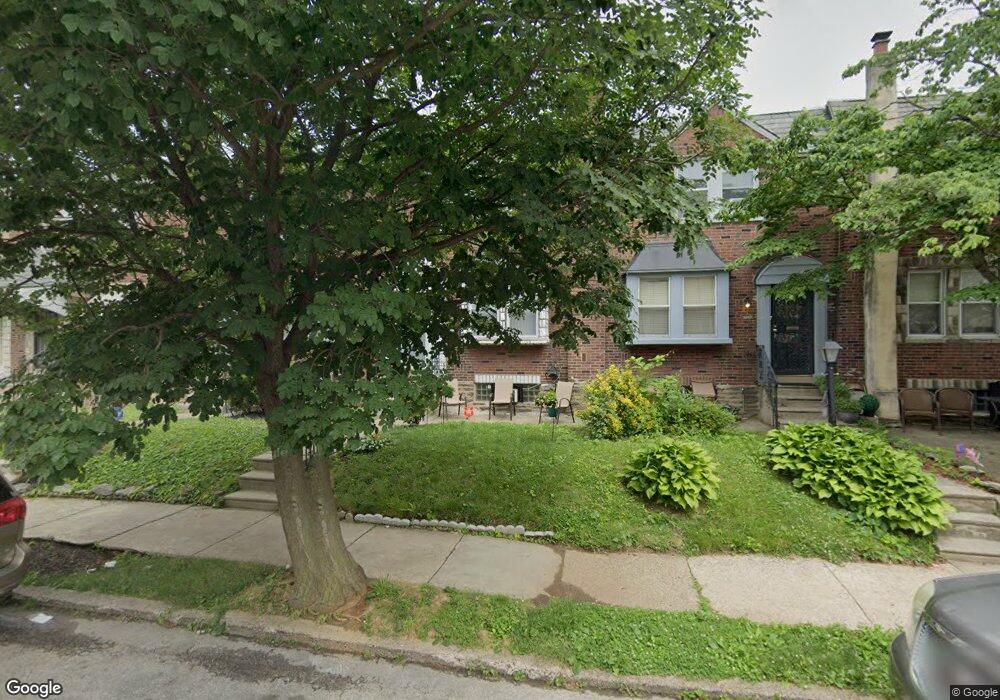
5609 Ormes St Philadelphia, PA 19120
Olney NeighborhoodEstimated Value: $182,000 - $250,000
3
Beds
1
Bath
1,224
Sq Ft
$171/Sq Ft
Est. Value
About This Home
This home is located at 5609 Ormes St, Philadelphia, PA 19120 and is currently estimated at $209,214, approximately $170 per square foot. 5609 Ormes St is a home located in Philadelphia County with nearby schools including James R. Lowell Elementary School, Grover Washington Middle School, and Samuel Fels High School.
Ownership History
Date
Name
Owned For
Owner Type
Purchase Details
Closed on
May 29, 2025
Sold by
Mcrae Clyde W and Mcrae Clyde R
Bought by
Mcrae Clyde R
Current Estimated Value
Home Financials for this Owner
Home Financials are based on the most recent Mortgage that was taken out on this home.
Original Mortgage
$141,076
Outstanding Balance
$140,463
Interest Rate
6.76%
Mortgage Type
FHA
Estimated Equity
$68,751
Purchase Details
Closed on
Feb 12, 1991
Bought by
Mcrae Clyde and Mcrae Earlene
Create a Home Valuation Report for This Property
The Home Valuation Report is an in-depth analysis detailing your home's value as well as a comparison with similar homes in the area
Home Values in the Area
Average Home Value in this Area
Purchase History
| Date | Buyer | Sale Price | Title Company |
|---|---|---|---|
| Mcrae Clyde R | -- | None Listed On Document | |
| Mcrae Clyde | $52,000 | -- |
Source: Public Records
Mortgage History
| Date | Status | Borrower | Loan Amount |
|---|---|---|---|
| Open | Mcrae Clyde R | $141,076 |
Source: Public Records
Tax History
| Year | Tax Paid | Tax Assessment Tax Assessment Total Assessment is a certain percentage of the fair market value that is determined by local assessors to be the total taxable value of land and additions on the property. | Land | Improvement |
|---|---|---|---|---|
| 2026 | $1,807 | $176,300 | $35,260 | $141,040 |
| 2025 | $1,807 | $176,300 | $35,260 | $141,040 |
| 2024 | $1,807 | $176,300 | $35,260 | $141,040 |
| 2023 | $1,807 | $129,100 | $25,820 | $103,280 |
| 2022 | $850 | $84,100 | $25,820 | $58,280 |
| 2021 | $1,480 | $0 | $0 | $0 |
| 2020 | $1,480 | $0 | $0 | $0 |
| 2019 | $1,375 | $0 | $0 | $0 |
| 2018 | $1,061 | $0 | $0 | $0 |
| 2017 | $1,481 | $0 | $0 | $0 |
| 2016 | $1,061 | $0 | $0 | $0 |
| 2015 | $1,016 | $0 | $0 | $0 |
| 2014 | -- | $105,800 | $8,237 | $97,563 |
| 2012 | -- | $13,696 | $1,315 | $12,381 |
Source: Public Records
Map
Nearby Homes
- 316 R E Clarkson Ave Unit 4
- 5435 Westford Rd
- 5416 Sycamore St
- 5413 N Front St
- 123 W Olney Ave
- 5247 Rorer St
- 5909 Ella St
- 136 W Clarkson Ave
- 5205 Westford Rd
- 5834 N Hope St
- 617 Mayfair St
- 5240 N Front St
- 5232 F St
- 5726 Old 2nd St
- 5531 N 2nd St
- 344 E Sheldon St
- 627 Adams Ave
- 150 W Fisher Ave
- 5233 N Mascher St
- 5214 N Howard St
- 5611 Ormes St
- 5607 Ormes St
- 5605 Ormes St
- 5613 Ormes St
- 5615 Ormes St
- 5603 Ormes St
- 5608 Rosehill St
- 5606 Rosehill St
- 5617 Ormes St
- 5610 Rosehill St
- 5604 Rosehill St
- 5602 Rosehill St
- 5601 Ormes St Unit 3
- 5601 Ormes St Unit 2
- 5601 Ormes St
- 5601 Ormes St Unit 1
- 5612 Rosehill St
- 5619 Ormes St
- 5614 Rosehill St
- 5600 Rosehill St
Your Personal Tour Guide
Ask me questions while you tour the home.