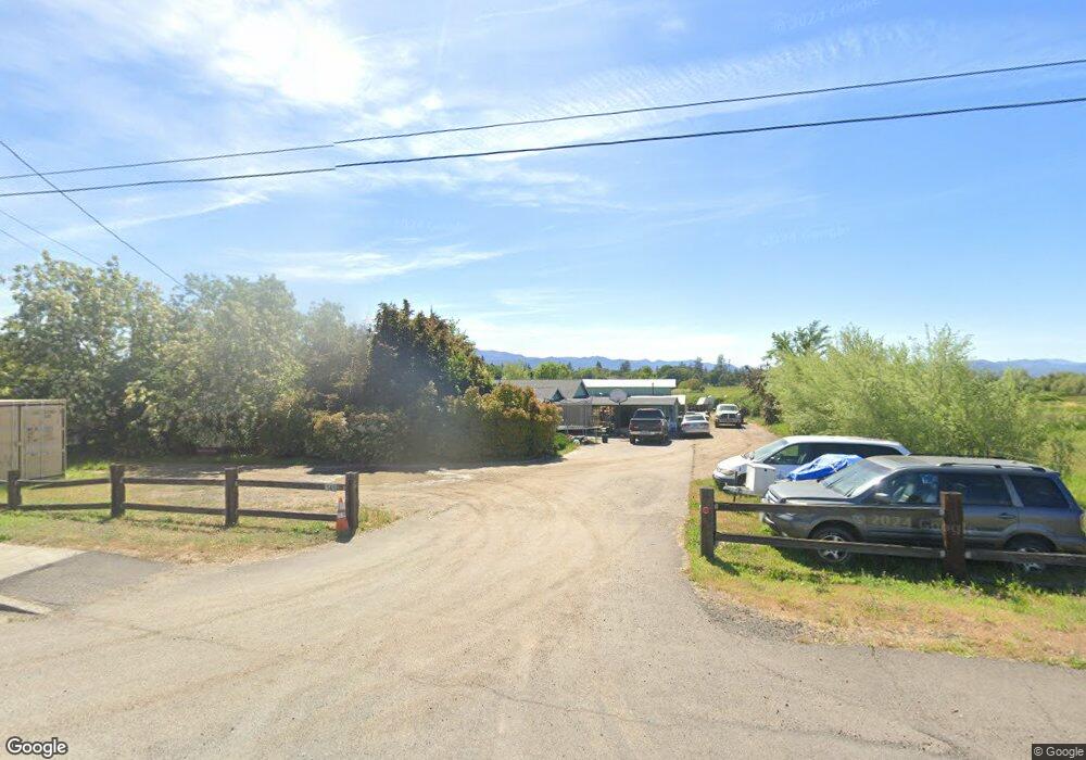
5611 Table Rock Rd Central Point, OR 97502
Estimated Value: $451,000 - $494,000
3
Beds
2
Baths
1,728
Sq Ft
$272/Sq Ft
Est. Value
About This Home
This home is located at 5611 Table Rock Rd, Central Point, OR 97502 and is currently estimated at $470,089, approximately $272 per square foot. 5611 Table Rock Rd is a home located in Jackson County with nearby schools including Jewett Elementary School, Scenic Middle School, and Crater High School.
Ownership History
Date
Name
Owned For
Owner Type
Purchase Details
Closed on
Feb 21, 2019
Sold by
Minter Freida Lee
Bought by
Minter Freida Lee and Minter Family Trust
Current Estimated Value
Purchase Details
Closed on
May 18, 2006
Sold by
Lippert Terry D and Lippert Laura A
Bought by
Minter John D and Minter Freida L
Home Financials for this Owner
Home Financials are based on the most recent Mortgage that was taken out on this home.
Original Mortgage
$270,000
Interest Rate
6.41%
Mortgage Type
Seller Take Back
Create a Home Valuation Report for This Property
The Home Valuation Report is an in-depth analysis detailing your home's value as well as a comparison with similar homes in the area
Purchase History
We collect this data history from publicly available records. To have your information removed, we recommend requesting removal directly through your county’s website.
| Date | Buyer | Sale Price | Title Company |
|---|---|---|---|
| Minter Freida Lee | -- | None Available | |
| Minter John D | $300,000 | Lawyers Title Insurance Corp |
Source: Public Records
Mortgage History
We collect this data history from publicly available records. To have your information removed, we recommend requesting removal directly through your county’s website.
| Date | Status | Borrower | Loan Amount |
|---|---|---|---|
| Closed | Minter John D | $270,000 |
Source: Public Records
Tax History
| Year | Tax Paid | Tax Assessment Tax Assessment Total Assessment is a certain percentage of the fair market value that is determined by local assessors to be the total taxable value of land and additions on the property. | Land | Improvement |
|---|---|---|---|---|
| 2026 | $2,475 | $202,740 | -- | -- |
| 2025 | $2,418 | $196,840 | $121,770 | $75,070 |
| 2024 | $2,418 | $191,110 | $64,110 | $127,000 |
| 2023 | $2,338 | $185,550 | $62,240 | $123,310 |
| 2022 | $2,288 | $185,550 | $62,240 | $123,310 |
| 2021 | $2,223 | $180,150 | $60,430 | $119,720 |
| 2020 | $2,158 | $174,910 | $58,680 | $116,230 |
| 2019 | $2,109 | $164,880 | $55,310 | $109,570 |
| 2018 | $2,043 | $160,080 | $53,700 | $106,380 |
| 2017 | $1,995 | $160,080 | $53,700 | $106,380 |
| 2016 | $1,937 | $150,900 | $50,620 | $100,280 |
| 2015 | $1,847 | $150,900 | $50,620 | $100,280 |
| 2014 | $1,802 | $142,250 | $47,720 | $94,530 |
Source: Public Records
Map
Nearby Homes
- 225 Wilson Rd
- 2618 Rabun Way
- 532 Wilson Rd
- 2307 Jeremy St
- 440 Orr Dr
- 0 Evan Way
- 2244 Evan Way
- 2311 Lara Ln
- 1653 Kentucky Ct
- 6363 Harold Rd
- 1935 Walnut Grove Ln
- 2200 Lara Ln
- 5900 Peace Ln
- 997 N Mountain Ave
- 5156 Peace Ln
- 4762 Gebhard Rd
- 875 N Mountain Ave
- 380 W Gregory Rd Unit 1
- 380 W Gregory Rd Unit 1
- 594 W Gregory Rd
- 5595 Table Rock Rd
- 5598 Table Rock Rd Unit 109
- 5598 Table Rock Rd Unit 101
- 5598 Table Rock Rd Unit 118
- 5598 Table Rock Rd Unit 110
- 5598 Table Rock Rd Unit 106
- 5598 Table Rock Rd Unit 125
- 5598 Table Rock Rd Unit 114
- 5598 Table Rock Rd Unit 129
- 5598 Table Rock Rd
- 5695 Table Rock Rd
- 100 Wilson Rd
- 5500 Table Rock Rd
- 5490 Table Rock Rd
- 5520 Table Rock Rd
- 5708 Table Rock Rd
- 110 Wilson Rd
- 116 Wilson Rd
- 101 Wilson Rd
- 5575 Table Rock Rd
Your Personal Tour Guide
Ask me questions while you tour the home.