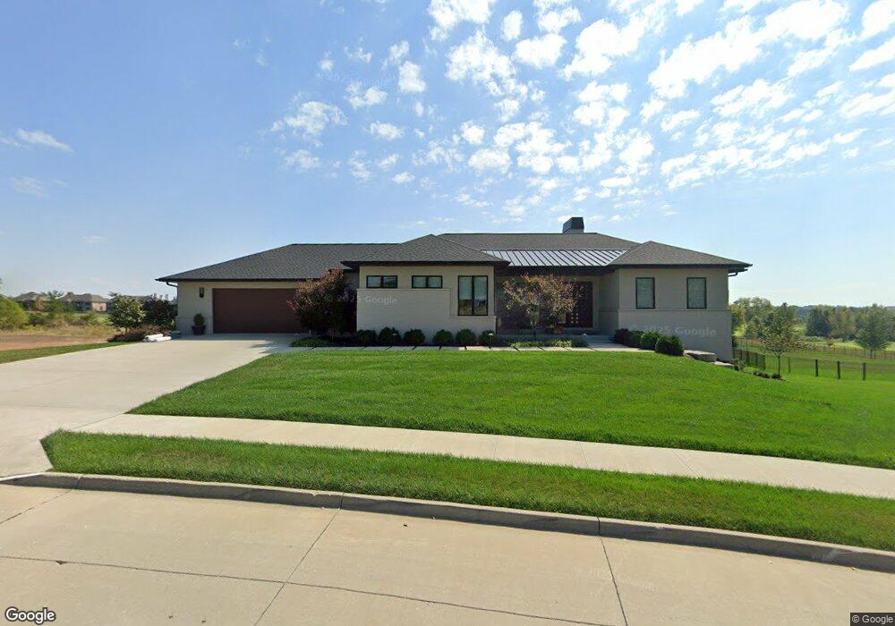
5614 Lightpost Dr Columbia, MO 65201
Old Hawthorne NeighborhoodEstimated Value: $790,000 - $1,132,000
4
Beds
4
Baths
4,627
Sq Ft
$220/Sq Ft
Est. Value
About This Home
This home is located at 5614 Lightpost Dr, Columbia, MO 65201 and is currently estimated at $1,019,062, approximately $220 per square foot. 5614 Lightpost Dr is a home with nearby schools including Cedar Ridge Elementary School, Oakland Middle School, and Muriel W. Battle High School.
Ownership History
Date
Name
Owned For
Owner Type
Purchase Details
Closed on
Sep 12, 2014
Sold by
Old Hawthorne Development Llc
Bought by
French Donald B and French Kimberly S
Current Estimated Value
Home Financials for this Owner
Home Financials are based on the most recent Mortgage that was taken out on this home.
Original Mortgage
$65,000
Outstanding Balance
$49,780
Interest Rate
4.15%
Mortgage Type
Future Advance Clause Open End Mortgage
Estimated Equity
$969,282
Create a Home Valuation Report for This Property
The Home Valuation Report is an in-depth analysis detailing your home's value as well as a comparison with similar homes in the area
Home Values in the Area
Average Home Value in this Area
Purchase History
| Date | Buyer | Sale Price | Title Company |
|---|---|---|---|
| French Donald B | -- | Boone Central Title Co |
Source: Public Records
Mortgage History
| Date | Status | Borrower | Loan Amount |
|---|---|---|---|
| Open | French Donald B | $65,000 |
Source: Public Records
Tax History
| Year | Tax Paid | Tax Assessment Tax Assessment Total Assessment is a certain percentage of the fair market value that is determined by local assessors to be the total taxable value of land and additions on the property. | Land | Improvement |
|---|---|---|---|---|
| 2025 | $9,222 | $156,427 | $28,500 | $127,927 |
| 2024 | $9,216 | $136,610 | $28,500 | $108,110 |
| 2023 | $9,140 | $136,610 | $28,500 | $108,110 |
| 2022 | $9,130 | $136,610 | $28,500 | $108,110 |
| 2021 | $9,147 | $136,610 | $28,500 | $108,110 |
| 2020 | $9,735 | $136,610 | $28,500 | $108,110 |
| 2019 | $9,735 | $136,610 | $28,500 | $108,110 |
| 2018 | $7,530 | $0 | $0 | $0 |
| 2017 | $808 | $11,400 | $11,400 | $0 |
| 2016 | $807 | $11,400 | $11,400 | $0 |
| 2015 | $741 | $11,400 | $11,400 | $0 |
| 2014 | $743 | $11,400 | $11,400 | $0 |
Source: Public Records
Map
Nearby Homes
- LOT 215 Lightpost Dr
- LOT 216 Lightpost Ct
- 5624 Lightpost Dr
- 5602 Lightpost Ct
- 1210 Marcassin Dr
- 1205 Shallow Ridge Cir
- 1303 Morning Dove Dr
- 801 Sunstone Ln
- 1301 Morning Dove Dr
- 5947 Screaming Eagle Ln
- 5959 Screaming Eagle Ln
- 1101 S Cedar Grove Blvd
- 5402 Wild Horse Ct
- LOT 115 Old Hawthorne Dr
- LOT 120 Old Hawthorne Dr
- LOT 124 Old Hawthorne Dr
- LOT 122 Old Hawthorne Dr
- LOT 134 Old Hawthorne Dr
- LOT 133 Old Hawthorne Dr
- LOT 130 Old Hawthorne Dr
- 5612 Lightpost Dr
- 5618 Lightpost Dr
- LOT 214 Lightpost Dr
- 5610 Lightpost Dr
- 5617 Lightpost Dr
- 1104 Shallow Ridge Cir
- 1102 Shallow Ridge Cir
- 5608 Lightpost Dr
- LOT 213 Lightpost Dr
- LOT 106 Lightpost Dr
- 5704 Lightpost Dr
- LOT 207 Lightpost Dr
- 5622 Lightpost Dr
- 1100 Shallow Ridge Cir
- 1106 Shallow Ridge Cir
- 1108 Shallow Ridge Cir
- 5606 N Lightpost Ct
- 5606 Lightpost Ct
- 1101 Shallow Ridge Cir
- 1103 Shallow Ridge Cir
Your Personal Tour Guide
Ask me questions while you tour the home.