562 Countryside Dr Central Point, OR 97502
Estimated Value: $457,890 - $487,000
About This Home
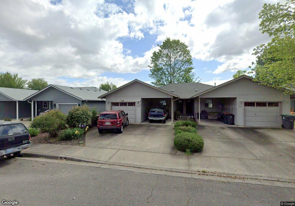
This home is located at 562 Countryside Dr, Central Point, OR 97502 and is currently estimated at $478,223, approximately $218 per square foot. 562 Countryside Dr is a home located in Jackson County with nearby schools including Central Point Elementary School, Scenic Middle School, and Crater High School.
Ownership History
We collect this data history from publicly available records. To have your information removed, we recommend requesting removal directly through your county’s website.
Purchase Details
Purchase Details
Purchase Details
Purchase History
We collect this data history from publicly available records. To have your information removed, we recommend requesting removal directly through your county’s website.
| Date | Buyer | Sale Price | Title Company |
|---|---|---|---|
| -- | None Available | ||
| $162,500 | Amerititle | ||
| -- | Amerititle |
Tax History
We collect this data history from publicly available records. To have your information removed, we recommend requesting removal directly through your county’s website.
| Year | Tax Paid | Tax Assessment Tax Assessment Total Assessment is a certain percentage of the fair market value that is determined by local assessors to be the total taxable value of land and additions on the property. | Land | Improvement |
|---|---|---|---|---|
| 2026 | $4,355 | $263,180 | ||
| 2025 | $4,248 | $255,520 | $73,820 | $181,700 |
| 2024 | $4,248 | $248,080 | $71,670 | $176,410 |
| 2023 | $4,112 | $240,860 | $69,580 | $171,280 |
| 2022 | $4,016 | $240,860 | $69,580 | $171,280 |
| 2021 | $3,901 | $233,850 | $67,550 | $166,300 |
| 2020 | $3,787 | $227,040 | $65,580 | $161,460 |
| 2019 | $3,694 | $214,010 | $61,820 | $152,190 |
| 2018 | $3,581 | $207,780 | $60,020 | $147,760 |
| 2017 | $3,491 | $207,780 | $60,020 | $147,760 |
| 2016 | $3,389 | $195,860 | $56,580 | $139,280 |
| 2015 | $3,247 | $195,860 | $56,580 | $139,280 |
| 2014 | $3,165 | $184,630 | $53,340 | $131,290 |
Map
- 512 Village Dr Unit B5
- 566 Village Dr Unit F23
- 786 Pittview Ave
- 555 Freeman Rd Unit 234
- 555 Freeman Rd Unit 242
- 555 Freeman Rd Unit 257
- 555 Freeman Rd Unit 191
- 301 Freeman Rd Unit 92
- 301 Freeman Rd Unit 91
- 301 Freeman Rd Unit 70
- 301 Freeman Rd Unit 90
- 1104 Coachman Dr
- 3364 Bursell Rd
- 520 Grand Ave
- 230 Peninger Rd
- 604 Hemlock Ave
- 848 Forest Glen Dr
- 3358 Bursell Rd
- 450 Grand Ave
- 45 Ashley Place
- 523 Primrose Dr
- 533 Primrose Dr
- 513 Primrose 515 Dr
- 513 Primrose Dr
- 522 Countryside Dr
- 532 Countryside Dr Unit 534
- 512 Countryside Dr
- 512 Countryside 514 Dr
- 543 Primrose Dr
- 790 Columbine Way
- 782 Columbine Way
- 526 Primrose Dr
- 544 Countryside Dr
- 542 Countryside Dr
- 780 Columbine Way
- 536 Primrose Dr
- 516 Primrose Dr
- 546 Primrose Dr
- 820 Columbine Way
- 564 Countryside Dr
Ask me questions while you tour the home.