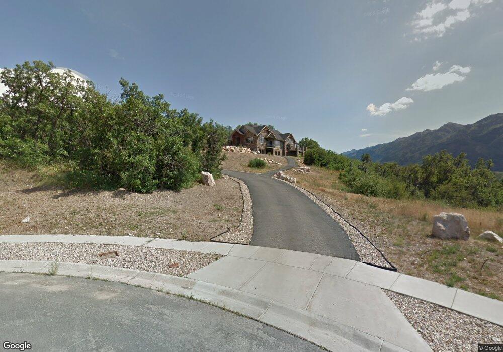
5633 Meadow Cir Morgan, UT 84050
Estimated Value: $1,113,000 - $1,702,000
6
Beds
4
Baths
5,454
Sq Ft
$262/Sq Ft
Est. Value
About This Home
This home is located at 5633 Meadow Cir, Morgan, UT 84050 and is currently estimated at $1,430,479, approximately $262 per square foot. 5633 Meadow Cir is a home located in Morgan County with nearby schools including Morgan High School.
Ownership History
Date
Name
Owned For
Owner Type
Purchase Details
Closed on
Jun 1, 2023
Sold by
Nance Larry E and Nance Nancy
Bought by
Peterson Gary D
Current Estimated Value
Home Financials for this Owner
Home Financials are based on the most recent Mortgage that was taken out on this home.
Original Mortgage
$1,249,250
Outstanding Balance
$1,216,270
Interest Rate
6.46%
Mortgage Type
New Conventional
Estimated Equity
$214,209
Create a Home Valuation Report for This Property
The Home Valuation Report is an in-depth analysis detailing your home's value as well as a comparison with similar homes in the area
Home Values in the Area
Average Home Value in this Area
Purchase History
| Date | Buyer | Sale Price | Title Company |
|---|---|---|---|
| Peterson Gary D | $1,561,562 | Us Title Ins Agcy |
Source: Public Records
Mortgage History
| Date | Status | Borrower | Loan Amount |
|---|---|---|---|
| Open | Peterson Gary D | $1,249,250 |
Source: Public Records
Tax History
| Year | Tax Paid | Tax Assessment Tax Assessment Total Assessment is a certain percentage of the fair market value that is determined by local assessors to be the total taxable value of land and additions on the property. | Land | Improvement |
|---|---|---|---|---|
| 2025 | $6,409 | $1,326,240 | $332,200 | $994,040 |
| 2024 | $6,796 | $1,286,919 | $332,200 | $954,719 |
| 2023 | $8,294 | $1,316,630 | $332,200 | $984,430 |
| 2022 | $7,665 | $1,068,650 | $292,618 | $776,032 |
| 2021 | $6,529 | $888,451 | $209,156 | $679,295 |
| 2020 | $5,726 | $794,350 | $174,380 | $619,970 |
| 2019 | $4,117 | $652,658 | $173,690 | $478,968 |
| 2018 | $3,930 | $359,187 | $0 | $0 |
| 2017 | $3,881 | $346,643 | $0 | $0 |
| 2016 | $3,680 | $322,271 | $0 | $0 |
| 2015 | $3,522 | $0 | $0 | $0 |
| 2013 | $3,324 | $0 | $0 | $0 |
Source: Public Records
Map
Nearby Homes
- 6562 Highland Dr
- 5849 Aspen Cir
- 6584 Highland Dr
- 6540 Highland Dr
- 5151 Frontier Dr Unit 21
- 6748 Frontier Dr
- 5928 Wasatch Dr
- 6195 Creekside Dr
- 6151 Creekside Dr Unit 17
- 5928 Riverview Cir
- 5494 Aspen Meadow Ln
- 5065 W Snow Canyon Rd
- 5036 W Zion Rd
- 5940 N 5000 W Unit 174
- 5630 N Robinson Ln
- 5923 N Robinson Ln Unit 115
- 6101 N Latigo Ln
- 6250 Robinson Ln Unit 221
- 6003 Stampede Ln
- 5938 Stampede Ln
- 5633 Meadow Cir N Unit 26
- 5626 W Meadow Cir Unit 25
- 5651 W Woodland Dr N Unit 27
- 5651 W Woodland Dr Unit 27
- 5673 W Woodland Dr Unit 28
- 6770 Highland Dr
- 5668 Meadow Cir N Unit 27
- 5644 Meadow Cir
- 5644 Meadow Cir Unit 24
- 5674 Woodland Dr
- 5653 Woodland Dr
- 5688 Woodland Dr
- 5672 Woodland Dr
- 5712 Woodland Dr
- 5712 Woodland Dr Unit 18
- 5730 Woodland Dr Unit 17
- 5744 Woodland Dr
- 6710 Weber Dr Unit 30
- 6746 Weber Dr Unit 15
- 6612 Highland Dr
Your Personal Tour Guide
Ask me questions while you tour the home.