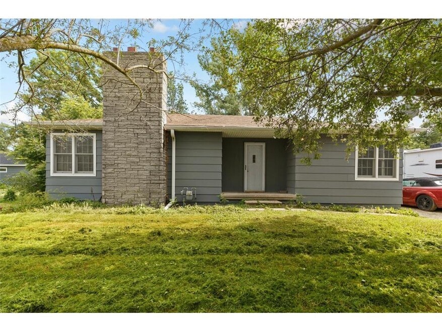

56351 220th St Austin, MN 55912
About This Home
This 2-bedroom, 1-bath home is located on over 1 acre just outside of Austin. Easy access to I-90 makes it convenient for commuting or getting into town quickly.
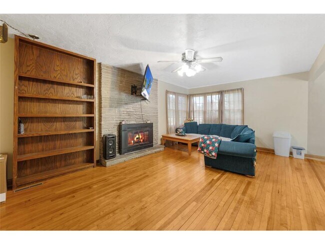
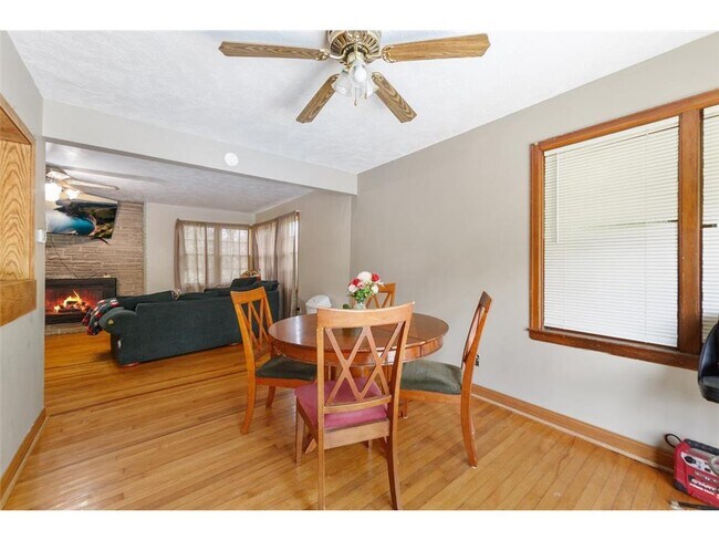
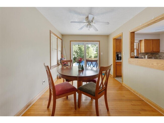
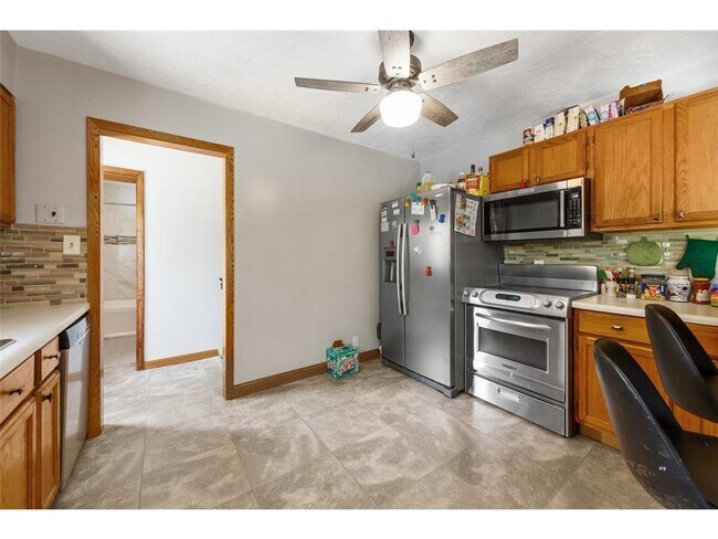
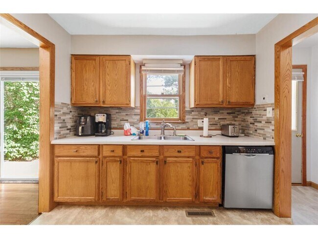
The home has a nice layout with a kitchen, living room, two bedrooms, and one bathroom. Large lot offers plenty of outdoor space.
Up to 2 dogs or cats allowed with $250 pet fee and $25/mo pet rent. Breed restrictions apply. Background check required.
Rent to own options are also available.
Inquire for more details or to schedule a showing.
Listed with Dillon Dale, brokered by eXp Realty

House Details
Property Information
- Built in 1946
- 1 unit
Utilities Included
- Water
- Sewer
House Features
- Washer/Dryer
Kitchen Features & Appliances
- Kitchen
Map
Property History
We collect this data history from publicly available records. To have your information removed, we recommend requesting removal directly through your county’s website.
| Date | Event | Price | List to Sale | Price per Sq Ft |
|---|---|---|---|---|
| 05/28/2026 05/28/26 | Price Changed | $1,400 | 0.0% | $1 / Sq Ft |
| 05/28/2026 05/28/26 | For Rent | $1,400 | +7.7% | -- |
| 06/26/2025 06/26/25 | Off Market | $1,300 | -- | -- |
| 05/22/2025 05/22/25 | For Rent | $1,300 | -- | -- |
- 2106 6th Ave NE
- 2110 E Oakland Ave
- 2109 4th Ave SE
- 1913 13th Ave NE
- 2008 2nd Ave SE
- 1300 18th Dr NE
- 1309 18th St NE
- 1306 18th St NE
- 1920 3rd Ave SE
- 1804 10th Place NE
- 400 Oakland Place NE Unit 9
- 1900 5th Ave SE
- 1801 2nd Ave SE
- 1800 2nd Ave SE
- 203 16th St SE
- TBD NW 10th St
- 615 14th St NE
- 108 14th St SE
- 58413 220th St
- 1009 4th Ave NE
- 2111 1st Ave SE
- 507 19th St NE
- 1921 3rd Ave NE
- 806 15th St NE Unit 1
- 1624 Oakland Ave E
- 403 12th St NE
- 22085 586 Ave
- 911 5th Ave NE
- 1002 4th St SE
- 704 1st Dr NW
- 204 11th Ave NW Unit 204 - 702
- 202 11th Ave NW Unit 202 - 402
- 202 11th Ave NW Unit 202 - 602
- 107 3rd Ave SW Unit 3
- 3306 11th St NE
- 204 1st Ave SW Unit 2
- 807 1st Dr NW Unit A
- 1102 3rd St NW
- 108 2nd St SW Unit 6
- 304 1st Ave NW Unit 204
Ask me questions while you tour the home.