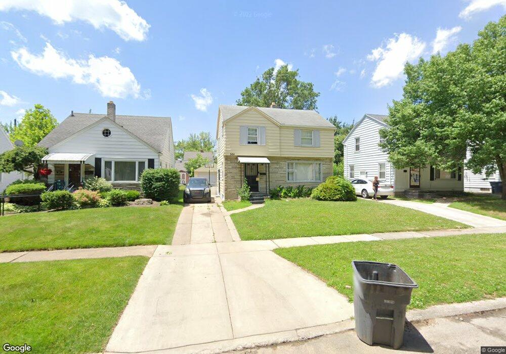
564 Andora Dr Toledo, OH 43609
Southside NeighborhoodEstimated Value: $95,000 - $120,000
3
Beds
1
Bath
1,170
Sq Ft
$87/Sq Ft
Est. Value
About This Home
This home is located at 564 Andora Dr, Toledo, OH 43609 and is currently estimated at $101,303, approximately $86 per square foot. 564 Andora Dr is a home located in Lucas County with nearby schools including Burroughs Elementary School, Bowsher High School, and Explorers Academy of Science and Technology.
Ownership History
Date
Name
Owned For
Owner Type
Purchase Details
Closed on
Jul 30, 2007
Sold by
Barnum Kenneth
Bought by
Galloway Charmaine N
Current Estimated Value
Home Financials for this Owner
Home Financials are based on the most recent Mortgage that was taken out on this home.
Original Mortgage
$72,200
Outstanding Balance
$45,100
Interest Rate
6.76%
Mortgage Type
Purchase Money Mortgage
Estimated Equity
$56,203
Purchase Details
Closed on
Apr 14, 1989
Sold by
Barnum Barnum R R and Barnum S
Create a Home Valuation Report for This Property
The Home Valuation Report is an in-depth analysis detailing your home's value as well as a comparison with similar homes in the area
Home Values in the Area
Average Home Value in this Area
Purchase History
| Date | Buyer | Sale Price | Title Company |
|---|---|---|---|
| Galloway Charmaine N | $72,200 | Louisville Title Agency For | |
| -- | -- | -- |
Source: Public Records
Mortgage History
| Date | Status | Borrower | Loan Amount |
|---|---|---|---|
| Open | Galloway Charmaine N | $72,200 |
Source: Public Records
Tax History
| Year | Tax Paid | Tax Assessment Tax Assessment Total Assessment is a certain percentage of the fair market value that is determined by local assessors to be the total taxable value of land and additions on the property. | Land | Improvement |
|---|---|---|---|---|
| 2025 | -- | $25,130 | $5,460 | $19,670 |
| 2024 | $793 | $25,130 | $5,460 | $19,670 |
| 2023 | $1,361 | $20,440 | $4,480 | $15,960 |
| 2022 | $1,365 | $20,440 | $4,480 | $15,960 |
| 2021 | $1,368 | $20,440 | $4,480 | $15,960 |
| 2020 | $1,412 | $18,655 | $4,130 | $14,525 |
| 2019 | $1,371 | $18,655 | $4,130 | $14,525 |
| 2018 | $1,386 | $18,655 | $4,130 | $14,525 |
| 2017 | $1,404 | $18,130 | $3,360 | $14,770 |
| 2016 | $1,405 | $51,800 | $9,600 | $42,200 |
| 2015 | $1,393 | $51,800 | $9,600 | $42,200 |
| 2014 | $1,140 | $18,130 | $3,360 | $14,770 |
| 2013 | $1,140 | $18,130 | $3,360 | $14,770 |
Source: Public Records
Map
Nearby Homes
- 518 Colima Dr
- 732 Colima Dr
- 2335 Airport Hwy
- 2336 South Ave
- 2309 Dunham St
- 518 Myers St
- 139 Kenmore Ave
- 333 Danberry St
- 415 Mayberry St
- 2052 South Ave
- 2019 South Ave
- 256 Decatur St
- 511 S Detroit Ave
- 1935 South Ave
- 2010 Airport Hwy
- 1922 Heatherdale Dr
- 537 Lynnhaven Dr
- 546 Elmdale Rd
- 859 National Ave
- 802 Wright Ave
Your Personal Tour Guide
Ask me questions while you tour the home.