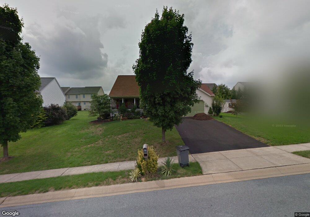
564 Mallard Dr Manheim, PA 17545
Estimated Value: $339,661 - $410,000
About This Home
This home is located at 564 Mallard Dr, Manheim, PA 17545 and is currently estimated at $374,165, approximately $299 per square foot. 564 Mallard Dr is a home located in Lancaster County with nearby schools including Manheim Central Senior High School, Manheim Christian Day School, and Sporting Hill Christian School.
Ownership History
We collect this data history from publicly available records. To have your information removed, we recommend requesting removal directly through your county’s website.
Purchase Details
Home Financials for this Owner
Home Financials are based on the most recent Mortgage that was taken out on this home.Home Values in the Area
Average Home Value in this Area
Purchase History
We collect this data history from publicly available records. To have your information removed, we recommend requesting removal directly through your county’s website.
| Date | Buyer | Sale Price | Title Company |
|---|---|---|---|
| $174,900 | First American Title Ins Co |
Mortgage History
We collect this data history from publicly available records. To have your information removed, we recommend requesting removal directly through your county’s website.
| Date | Status | Borrower | Loan Amount |
|---|---|---|---|
| Open | $137,000 |
Tax History
We collect this data history from publicly available records. To have your information removed, we recommend requesting removal directly through your county’s website.
| Year | Tax Paid | Tax Assessment Tax Assessment Total Assessment is a certain percentage of the fair market value that is determined by local assessors to be the total taxable value of land and additions on the property. | Land | Improvement |
|---|---|---|---|---|
| 2026 | $3,627 | $171,800 | $58,600 | $113,200 |
| 2025 | $3,503 | $171,800 | $58,600 | $113,200 |
| 2024 | $3,503 | $171,800 | $58,600 | $113,200 |
| 2023 | $3,429 | $171,800 | $58,600 | $113,200 |
| 2022 | $3,341 | $171,800 | $58,600 | $113,200 |
| 2021 | $3,265 | $171,800 | $58,600 | $113,200 |
| 2020 | $3,265 | $171,800 | $58,600 | $113,200 |
| 2019 | $3,208 | $171,800 | $58,600 | $113,200 |
| 2018 | $2,346 | $171,800 | $58,600 | $113,200 |
| 2017 | $3,554 | $152,500 | $39,400 | $113,100 |
| 2016 | $3,554 | $152,500 | $39,400 | $113,100 |
| 2015 | $844 | $152,500 | $39,400 | $113,100 |
| 2014 | $2,499 | $152,500 | $39,400 | $113,100 |
Map
- 613 Mallard Dr
- 596 Wood Duck Dr
- 765 Brandt St
- 311 N Penryn Rd
- 848 Cambridge Dr Unit 4
- 717 Heather Ridge Unit 183
- 749 Heather Ridge Unit 175
- 931 Cambridge Dr Unit 107
- 1016 Cambridge Dr
- 487 Prospect Rd
- 252 Doe Run Rd
- 161 N Laurel St
- 306 E High St
- 172 N Linden St
- 118 E Scout Aly
- 81 S Linden St
- 103 S Hazel St
- 153 S Wolf St
- 115 S Main St
- 123 Fruitville Pike
- 584 Mallard Dr
- 594 Mallard Dr
- 574 Mallard Dr
- 575 Wood Duck Dr
- 577 Wood Duck Dr
- 573 Wood Duck Dr
- 579 Wood Duck Dr
- 581 Wood Duck Dr
- 583 Wood Duck Dr
- 569 Wood Duck Dr
- 604 Mallard Dr
- 567 Wood Duck Dr
- 565 Wood Duck Dr
- 585 Wood Duck Dr
- 563 Wood Duck Dr
- 583 Mallard Dr
- 561 Wood Duck Dr
- 603 Mallard Dr
- 573 Mallard Dr
- 587 Wood Duck Dr
Ask me questions while you tour the home.