Estimated Value: $266,643 - $375,000
About This Home
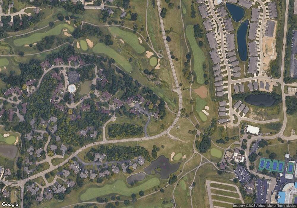
This home is located at 564 Maple Ln, Mason, OH 45040 and is currently estimated at $300,661, approximately $225 per square foot. 564 Maple Ln is a home located in Warren County with nearby schools including Mason Intermediate Elementary School, Mason Middle School, and William Mason High School.
Ownership History
We collect this data history from publicly available records. To have your information removed, we recommend requesting removal directly through your county’s website.
Purchase Details
Purchase Details
Home Values in the Area
Average Home Value in this Area
Purchase History
We collect this data history from publicly available records. To have your information removed, we recommend requesting removal directly through your county’s website.
| Date | Buyer | Sale Price | Title Company |
|---|---|---|---|
| $85,000 | -- | ||
| $75,000 | -- |
Tax History
We collect this data history from publicly available records. To have your information removed, we recommend requesting removal directly through your county’s website.
| Year | Tax Paid | Tax Assessment Tax Assessment Total Assessment is a certain percentage of the fair market value that is determined by local assessors to be the total taxable value of land and additions on the property. | Land | Improvement |
|---|---|---|---|---|
| 2025 | $2,490 | $71,160 | $21,000 | $50,160 |
| 2024 | $2,490 | $71,160 | $21,000 | $50,160 |
| 2023 | $2,025 | $50,904 | $8,260 | $42,644 |
| 2022 | $1,999 | $50,904 | $8,260 | $42,644 |
| 2021 | $1,893 | $50,904 | $8,260 | $42,644 |
| 2020 | $1,802 | $43,138 | $7,000 | $36,138 |
| 2019 | $1,656 | $43,138 | $7,000 | $36,138 |
| 2018 | $1,662 | $43,138 | $7,000 | $36,138 |
| 2017 | $1,425 | $36,271 | $5,985 | $30,286 |
| 2016 | $1,468 | $36,271 | $5,985 | $30,286 |
| 2015 | $1,471 | $36,271 | $5,985 | $30,286 |
| 2014 | $1,578 | $36,270 | $5,990 | $30,290 |
| 2013 | $1,581 | $42,420 | $7,000 | $35,420 |
Map
- 566 Maple Ln
- 394 Walnut Ln
- 5875 Falling Brook Dr
- 995 Walnut Ct
- 376 Walnut Ln
- 5795 Springview Cir
- 423 Kings Mills Rd
- 197 Acoma Dr
- 6445 Eagleview Dr
- 3780 Sandtrap Cir
- 3616 Sawgrass Ct
- 5270 Bay Pointe Dr
- 3658 Pebble Creek Ct
- 6358 Inverness Way
- 6388 Inverness Way
- 6510 Prestwick Ct
- 206 Sherwood Green Ct Unit 9
- 5533 Cox-Smith Rd
- 5523 Cox-Smith Rd
- 3920 Sandtrap Cir Unit 3920
Ask me questions while you tour the home.