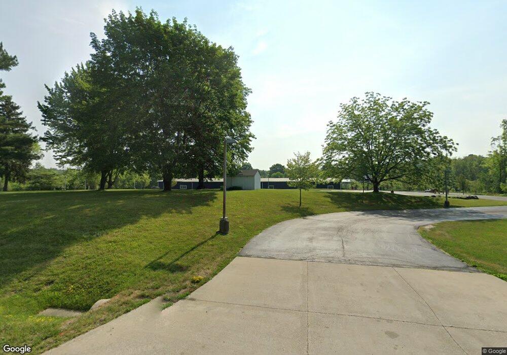
5649 Stow Rd Hudson, OH 44236
Estimated Value: $926,212
Studio
2
Baths
20,800
Sq Ft
$45/Sq Ft
Est. Value
About This Home
This home is located at 5649 Stow Rd, Hudson, OH 44236 and is currently estimated at $926,212, approximately $44 per square foot. 5649 Stow Rd is a home located in Summit County with nearby schools including Ellsworth Hill Elementary School, East Woods Intermediate School, and Hudson Middle School.
Ownership History
Date
Name
Owned For
Owner Type
Purchase Details
Closed on
Jan 10, 2018
Sold by
Daltorio Joseph M
Bought by
River Of Life Community Church
Current Estimated Value
Purchase Details
Closed on
May 27, 2002
Sold by
Trustees Cox Anthony A & Bergin Stephen Co
Bought by
Western Reserve Community Church
Home Financials for this Owner
Home Financials are based on the most recent Mortgage that was taken out on this home.
Original Mortgage
$400,000
Interest Rate
6%
Mortgage Type
Commercial
Create a Home Valuation Report for This Property
The Home Valuation Report is an in-depth analysis detailing your home's value as well as a comparison with similar homes in the area
Home Values in the Area
Average Home Value in this Area
Purchase History
We collect this data history from publicly available records. To have your information removed, we recommend requesting removal directly through your county’s website.
| Date | Buyer | Sale Price | Title Company |
|---|---|---|---|
| River Of Life Community Church | -- | None Available | |
| Western Reserve Community Church | $500,000 | -- |
Source: Public Records
Mortgage History
We collect this data history from publicly available records. To have your information removed, we recommend requesting removal directly through your county’s website.
| Date | Status | Borrower | Loan Amount |
|---|---|---|---|
| Previous Owner | Western Reserve Community Church | $400,000 |
Source: Public Records
Map
Nearby Homes
- 5941 Stow Rd
- 2170 Norton Rd
- V/L Norton Rd
- 5179 Bramble Creek Trail
- 5330 Young Rd
- 5321 Young Rd
- 3076 Ravineview Cir
- 135 Harper Rd
- 5819 Bradford Way
- 5111 Rockport Cove
- 5264 Brockton Dr
- 2353 W Hale Dr
- 1976 Darrow Lake Dr
- 4855 Bratton Ct
- 4778 Lawson Dr
- 1515 Barlow Rd
- 2287 Wellington Cir
- 2591 Jefferson Place Unit B
- 6542 Hammontree Dr
- 4715 Hilary Cir
Your Personal Tour Guide
Ask me questions while you tour the home.