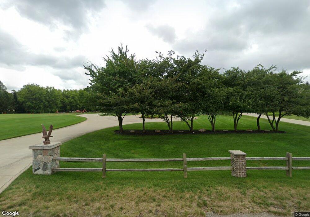
565 Brookside Ct Oxford, MI 48371
Estimated Value: $320,000 - $677,893
About This Home
This home is located at 565 Brookside Ct, Oxford, MI 48371 and is currently estimated at $524,973, approximately $229 per square foot. 565 Brookside Ct is a home located in Oakland County with nearby schools including Brandon High School.
Ownership History
We collect this data history from publicly available records. To have your information removed, we recommend requesting removal directly through your county’s website.
Purchase Details
Home Financials for this Owner
Home Financials are based on the most recent Mortgage that was taken out on this home.Home Values in the Area
Average Home Value in this Area
Purchase History
We collect this data history from publicly available records. To have your information removed, we recommend requesting removal directly through your county’s website.
| Date | Buyer | Sale Price | Title Company |
|---|---|---|---|
| $460,000 | Bankers Title Settlement Ser | ||
| $50,000 | Bankers Title Settlement Ser |
Mortgage History
We collect this data history from publicly available records. To have your information removed, we recommend requesting removal directly through your county’s website.
| Date | Status | Borrower | Loan Amount |
|---|---|---|---|
| Open | $150,000 |
Tax History
We collect this data history from publicly available records. To have your information removed, we recommend requesting removal directly through your county’s website.
| Year | Tax Paid | Tax Assessment Tax Assessment Total Assessment is a certain percentage of the fair market value that is determined by local assessors to be the total taxable value of land and additions on the property. | Land | Improvement |
|---|---|---|---|---|
| 2025 | $5,264 | $319,880 | $0 | $0 |
| 2024 | $5,118 | $314,160 | $0 | $0 |
| 2023 | $4,882 | $294,170 | $0 | $0 |
| 2022 | $8,963 | $254,050 | $0 | $0 |
| 2021 | $8,497 | $237,800 | $0 | $0 |
| 2020 | $4,470 | $219,080 | $0 | $0 |
| 2019 | $8,080 | $206,580 | $0 | $0 |
| 2018 | $7,837 | $201,510 | $0 | $0 |
| 2017 | $8,066 | $204,270 | $0 | $0 |
| 2016 | $1,239 | $23,500 | $0 | $0 |
| 2015 | -- | $22,500 | $0 | $0 |
| 2014 | -- | $22,500 | $0 | $0 |
| 2011 | -- | $22,500 | $0 | $0 |
Map
- 4974 Menominee Ln
- 9780 Klais Rd
- 3755 Dartmouth Rd
- 5014 Oak Hill Rd
- 560 Coats Rd
- 5222 Coulter Lake Blvd
- 3432 Stanton Rd
- 788 Fish Lake Ct
- 9585 N Eston Rd
- 4649 Butternut St
- 5130 Seymour Lake Rd
- 2880 Mulberry Dr
- 4890 Whipple Lake Rd
- 4441 Beechwood St
- 398 Shrewsbury Dr
- 5231 Mattawa Dr
- 5500 Seymour Lake Rd
- 4335 Hazel St Unit 440
- 4954 Whipple Lake Rd
- 3826 Cherry St Unit 363
- 571 Brookside Ct
- 571 Brookside Ct
- 571 Brookside Ct
- 571 Brookside Ct
- 571 Brookside Crt
- 571 Brookside Ct
- 575 Brookside Ct
- 553 Brookside Crt
- 553 Brookside Crt
- 553 Brookside Crt
- 553 Brookside Ct
- 575 Brookside Ct
- 575 Brookside Ct
- 575 Brookside Ct
- 576 Brookside Crt
- 576 Brookside Crt
- 562 Brookside Crt
- 576 Brookside Ct
- 575 Brookside Ct
- 588 Brookside Ct
Ask me questions while you tour the home.