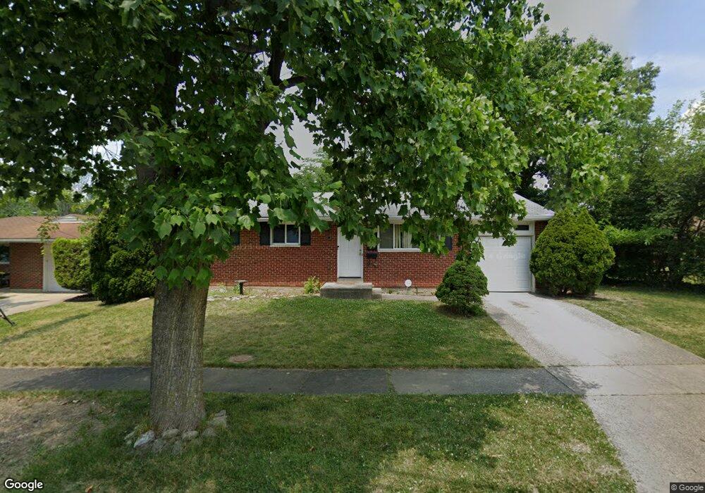
5655 Red Cedar Dr Cincinnati, OH 45224
College Hill NeighborhoodEstimated Value: $150,000 - $184,673
About This Home
This home is located at 5655 Red Cedar Dr, Cincinnati, OH 45224 and is currently estimated at $172,168, approximately $163 per square foot. 5655 Red Cedar Dr is a home located in Hamilton County with nearby schools including Pleasant Hill Elementary School, Robert A. Taft Information Technology High School, and Western Hills High School.
Ownership History
We collect this data history from publicly available records. To have your information removed, we recommend requesting removal directly through your county’s website.
Purchase Details
Home Financials for this Owner
Home Financials are based on the most recent Mortgage that was taken out on this home.Home Values in the Area
Average Home Value in this Area
Purchase History
We collect this data history from publicly available records. To have your information removed, we recommend requesting removal directly through your county’s website.
| Date | Buyer | Sale Price | Title Company |
|---|---|---|---|
| $64,000 | -- |
Mortgage History
We collect this data history from publicly available records. To have your information removed, we recommend requesting removal directly through your county’s website.
| Date | Status | Borrower | Loan Amount |
|---|---|---|---|
| Open | $62,500 |
Tax History
We collect this data history from publicly available records. To have your information removed, we recommend requesting removal directly through your county’s website.
| Year | Tax Paid | Tax Assessment Tax Assessment Total Assessment is a certain percentage of the fair market value that is determined by local assessors to be the total taxable value of land and additions on the property. | Land | Improvement |
|---|---|---|---|---|
| 2025 | $2,993 | $46,900 | $12,880 | $34,020 |
| 2023 | $2,994 | $46,900 | $12,880 | $34,020 |
| 2022 | $2,214 | $31,102 | $10,490 | $20,612 |
| 2021 | $2,170 | $31,102 | $10,490 | $20,612 |
| 2020 | $2,176 | $31,102 | $10,490 | $20,612 |
| 2019 | $2,097 | $27,283 | $9,202 | $18,081 |
| 2018 | $2,099 | $27,283 | $9,202 | $18,081 |
| 2017 | $2,021 | $27,283 | $9,202 | $18,081 |
| 2016 | $2,246 | $29,597 | $9,818 | $19,779 |
| 2015 | $2,009 | $29,597 | $9,818 | $19,779 |
| 2014 | $2,019 | $29,597 | $9,818 | $19,779 |
| 2013 | $2,116 | $30,513 | $10,122 | $20,391 |
Map
- 1162 Groesbeck Rd
- 1166 Groesbeck Rd
- 5735 Argus Rd
- 5754 Argus Rd
- 5711 Kenneth Ave
- 1336 Hill Crest Rd
- 1421 Cedar Ave
- 5940 Kenneth Ave
- 5721 Hamilton Ave
- 1197 Toluca Ct
- 5987 Sunridge Dr
- 1441 Marlowe Ave
- 1078 Addice Way
- 5974 Sunridge Dr
- 939 Venetian Terrace
- 6101 Capri Dr
- 1011 Venetian Terrace
- 1127 W North Bend Rd
- 1519 W North Bend Rd
- 5751 Belmont Ave
- 5651 Red Cedar Dr
- 5611 Leafwood Dr
- 5605 Leafwood Dr
- 5647 Red Cedar Dr
- 5619 Leafwood Dr
- 5658 Red Cedar Dr
- 5654 Red Cedar Dr
- 5648 Red Cedar Dr
- 5595 Leafwood Dr
- 5604 Leafwood Dr
- 5642 Red Cedar Dr
- 5623 Leafwood Dr
- 5610 Leafwood Dr
- 5585 Leafwood Dr
- 5639 Red Cedar Dr
- 5614 Leafwood Dr
- 5577 Leafwood Dr
- 5638 Red Cedar Dr
- 5618 Leafwood Dr
- 5571 Leafwood Dr
Ask me questions while you tour the home.