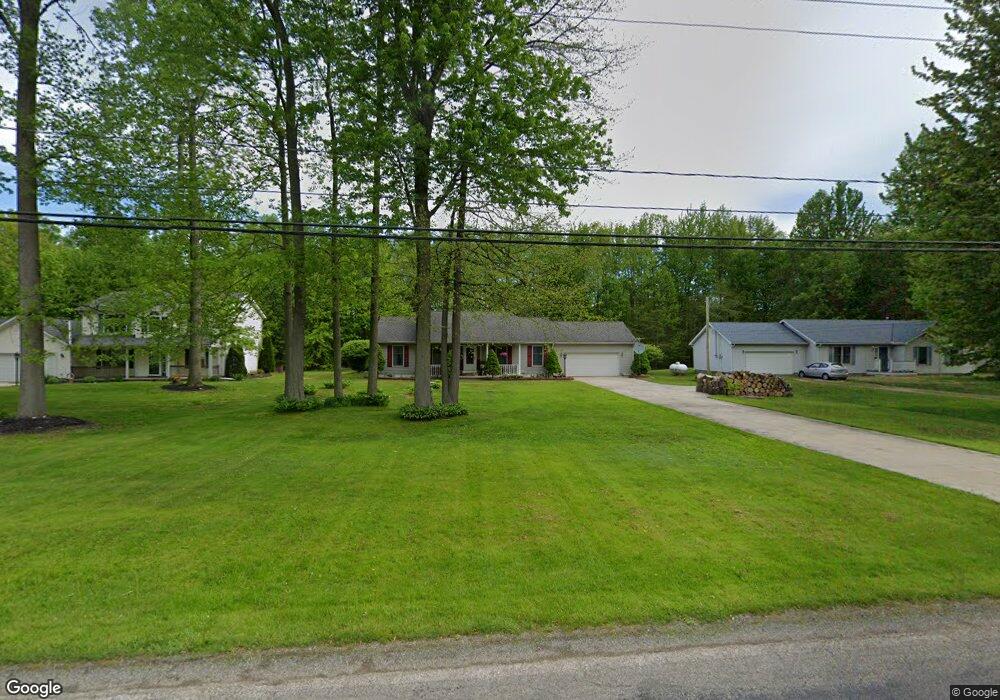
5659 W Maple Rd Geneva, OH 44041
Geneva NeighborhoodEstimated Value: $197,397 - $252,000
3
Beds
2
Baths
1,344
Sq Ft
$169/Sq Ft
Est. Value
About This Home
This home is located at 5659 W Maple Rd, Geneva, OH 44041 and is currently estimated at $227,599, approximately $169 per square foot. 5659 W Maple Rd is a home located in Ashtabula County with nearby schools including Geneva Middle School, Geneva High School, and Assumption School.
Ownership History
Date
Name
Owned For
Owner Type
Purchase Details
Closed on
Aug 18, 2010
Sold by
Bouasy Outhay and Bouasy Anne M
Bought by
Bouasy Outhay
Current Estimated Value
Purchase Details
Closed on
Nov 30, 1994
Sold by
Metzler Henry A
Bought by
Bouasy Outhay and Bouasy Anne M
Home Financials for this Owner
Home Financials are based on the most recent Mortgage that was taken out on this home.
Original Mortgage
$79,110
Interest Rate
8.91%
Mortgage Type
New Conventional
Create a Home Valuation Report for This Property
The Home Valuation Report is an in-depth analysis detailing your home's value as well as a comparison with similar homes in the area
Home Values in the Area
Average Home Value in this Area
Purchase History
| Date | Buyer | Sale Price | Title Company |
|---|---|---|---|
| Bouasy Outhay | -- | Buckeye Title | |
| Bouasy Outhay | $87,900 | -- |
Source: Public Records
Mortgage History
| Date | Status | Borrower | Loan Amount |
|---|---|---|---|
| Closed | Bouasy Outhay | $79,110 |
Source: Public Records
Tax History
| Year | Tax Paid | Tax Assessment Tax Assessment Total Assessment is a certain percentage of the fair market value that is determined by local assessors to be the total taxable value of land and additions on the property. | Land | Improvement |
|---|---|---|---|---|
| 2024 | $4,403 | $53,030 | $6,060 | $46,970 |
| 2023 | $2,407 | $53,030 | $6,060 | $46,970 |
| 2022 | $1,953 | $39,450 | $4,660 | $34,790 |
| 2021 | $1,952 | $39,450 | $4,660 | $34,790 |
| 2020 | $1,952 | $39,450 | $4,660 | $34,790 |
| 2019 | $1,911 | $37,490 | $5,360 | $32,130 |
| 2018 | $1,806 | $37,490 | $5,360 | $32,130 |
| 2017 | $1,792 | $37,490 | $5,360 | $32,130 |
| 2016 | $1,794 | $37,210 | $5,320 | $31,890 |
| 2015 | $1,786 | $37,210 | $5,320 | $31,890 |
| 2014 | $1,730 | $37,210 | $5,320 | $31,890 |
| 2013 | $1,834 | $40,990 | $5,040 | $35,950 |
Source: Public Records
Map
Nearby Homes
- 3764 Padanarum Rd
- 3583 Austin Rd
- 3583 Austin Rd Unit 89
- 3583 Austin Rd Unit 5
- 3583 Austin Rd Unit 102
- 229 Elm St
- 234 Elm St
- 215 Woodlawn Ave
- 549 E Main St
- 45 S Cedar St
- VL N Crowell Ave
- 4165 Wheeler Creek Rd
- 729 W Main St
- 206 S Eagle St
- 535 Eastwood St
- 254 S Eagle St
- 350 Morrison St
- 5162 Woodside Dr
- 149 Cromwell Dr
- 171 Leslie St
- 5679 W Maple Rd
- 5649 W Maple Rd
- 5689 W Maple Rd
- 5633 W Maple Rd
- 5648 W Maple Rd
- 5699 W Maple Rd
- 5630 W Maple Rd
- 5686 W Maple Rd
- 5619 W Maple Rd
- 5616 W Maple Rd
- 5709 W Maple Rd
- 5698 W Maple Rd
- 5719 W Maple Rd
- 5593 W Maple Rd
- 5610 W Maple Rd
- 5729 W Maple Rd
- 5579 W Maple Rd
- 5602 W Maple Rd
- 0 W Maple Rd Unit 4504530
- 0 W Maple Rd Unit 4454969
Your Personal Tour Guide
Ask me questions while you tour the home.