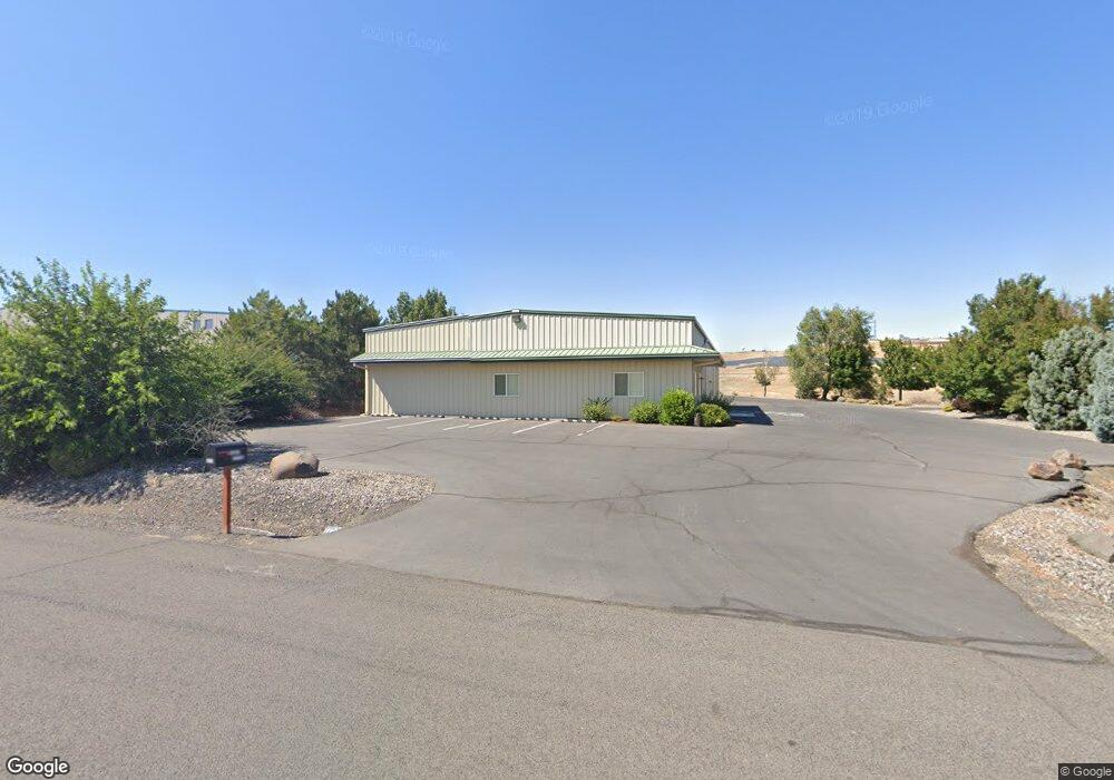
5678 NW Golden Ave Pendleton, OR 97801
Estimated Value: $645,205
About This Home
This home is located at 5678 NW Golden Ave, Pendleton, OR 97801 and is currently estimated at $645,205, approximately $107 per square foot. 5678 NW Golden Ave is a home located in Umatilla County with nearby schools including McKay Creek Elementary School, Sunridge Middle School, and Pendleton High School.
Ownership History
We collect this data history from publicly available records. To have your information removed, we recommend requesting removal directly through your county’s website.
Purchase Details
Home Financials for this Owner
Home Financials are based on the most recent Mortgage that was taken out on this home.Purchase Details
Home Values in the Area
Average Home Value in this Area
Purchase History
We collect this data history from publicly available records. To have your information removed, we recommend requesting removal directly through your county’s website.
| Date | Buyer | Sale Price | Title Company |
|---|---|---|---|
| $575,150 | Fidelity National Title | ||
| $101,000 | Pioneer Title |
Mortgage History
We collect this data history from publicly available records. To have your information removed, we recommend requesting removal directly through your county’s website.
| Date | Status | Borrower | Loan Amount |
|---|---|---|---|
| Open | $524,000 |
Tax History
We collect this data history from publicly available records. To have your information removed, we recommend requesting removal directly through your county’s website.
| Year | Tax Paid | Tax Assessment Tax Assessment Total Assessment is a certain percentage of the fair market value that is determined by local assessors to be the total taxable value of land and additions on the property. | Land | Improvement |
|---|---|---|---|---|
| 2025 | $7,807 | $423,940 | $46,060 | $377,880 |
| 2023 | $7,441 | $399,620 | $123,220 | $276,400 |
| 2022 | $7,018 | $387,990 | $0 | $0 |
| 2021 | $7,058 | $376,690 | $116,140 | $260,550 |
| 2020 | $6,817 | $365,720 | $112,760 | $252,960 |
| 2018 | $6,622 | $344,730 | $106,290 | $238,440 |
| 2017 | $6,163 | $334,690 | $103,200 | $231,490 |
| 2016 | $5,170 | $294,590 | $100,290 | $194,300 |
| 2015 | $5,686 | $315,790 | $95,440 | $220,350 |
| 2014 | $5,801 | $315,790 | $95,440 | $220,350 |
Map
- 43683 Main St
- 1150 Airport Rd
- 3010 SW Terrace Dr
- 2801 SW Houtama Rd Unit 45
- 2801 SW Houtama Rd
- 801 SW 37th St
- 3218 SW Isaac Ave
- 2262 NW Horn Place
- 1303 SW 41st St
- 730 NW 23rd St
- 0 SW Kirk Ave Unit 200 21392184
- 0 SW Kirk Ave Unit 101 21527345
- 0 SW Kirk Ave Unit 5500 21002117
- 3009 SW Isaac Ave
- 2221 NW Furnish Ave
- 924 SW 33rd St
- 1101 SW 31st St
- 1900 NW Carden Ave Unit 22
- 1900 NW Carden Ave Unit 16
- 715 SW 27th St
- 338 NW 57th Dr
- 4651 Murietta Rd
- 42251 Rieth Rd
- 0 Murietta Rd Unit 15427674
- 601 Airport Rd
- 602 Airport Rd
- 2020 Tutuilla Rd
- 44112 Rieth Rd
- 818 Airport Rd
- 0 Airport Mini Storage Unit 11443163
- 4314 Westgate Place
- 4712 NW J Ave
- 4216 Westgate
- 1325 NW 49th Dr
- 1208 NW 47th St
- 4208 Westgate
- 1329 NW 49th Dr
- 4362 SW Houtama Rd
- 1200 Airport Rd
- 1106 Airport Rd
Ask me questions while you tour the home.