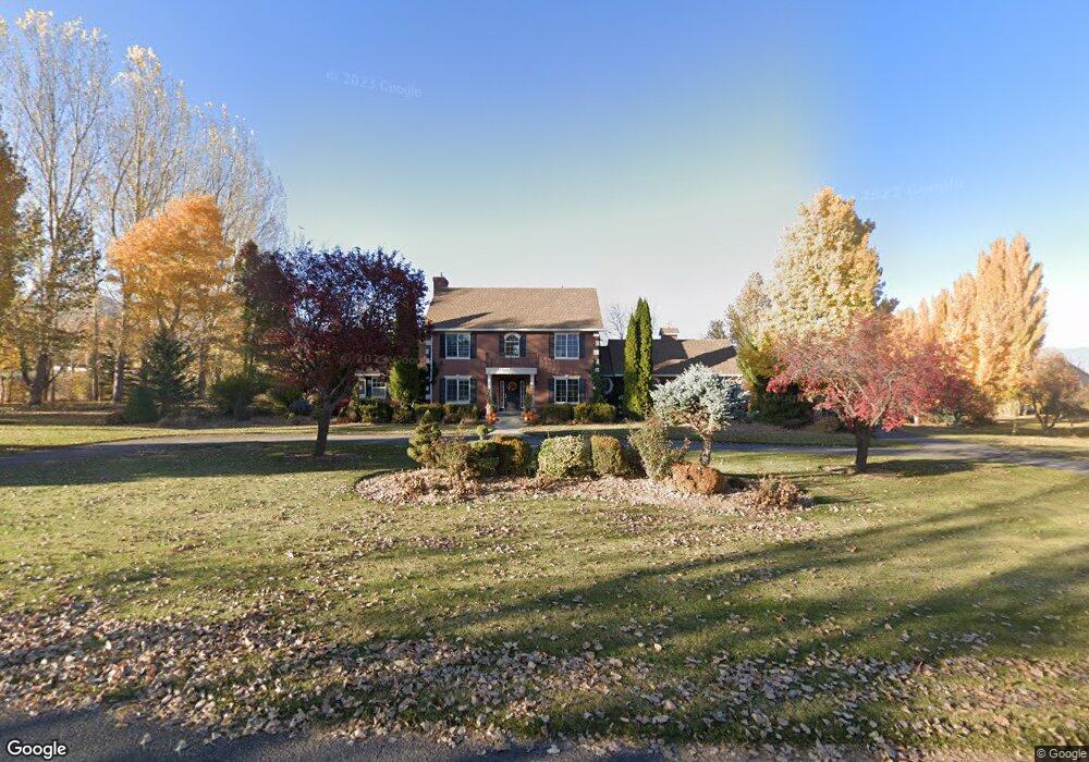
5682 W 11450 S Payson, UT 84651
Estimated Value: $744,000 - $1,487,682
4
Beds
3
Baths
2,688
Sq Ft
$481/Sq Ft
Est. Value
About This Home
This home is located at 5682 W 11450 S, Payson, UT 84651 and is currently estimated at $1,292,671, approximately $480 per square foot. 5682 W 11450 S is a home located in Utah County with nearby schools including Taylor Elementary School, Salem Junior High School, and Valley View Middle School.
Ownership History
Date
Name
Owned For
Owner Type
Purchase Details
Closed on
Jan 23, 2009
Sold by
Ventura Dan
Bought by
Ventura Dan and Ventura Marcia
Current Estimated Value
Home Financials for this Owner
Home Financials are based on the most recent Mortgage that was taken out on this home.
Original Mortgage
$216,000
Interest Rate
5.14%
Mortgage Type
New Conventional
Purchase Details
Closed on
Jan 18, 2002
Sold by
Andersen Janice Phelps
Bought by
Ventura Dan and Ventura Marcia
Home Financials for this Owner
Home Financials are based on the most recent Mortgage that was taken out on this home.
Original Mortgage
$254,550
Interest Rate
7.11%
Create a Home Valuation Report for This Property
The Home Valuation Report is an in-depth analysis detailing your home's value as well as a comparison with similar homes in the area
Purchase History
| Date | Buyer | Sale Price | Title Company |
|---|---|---|---|
| Ventura Dan | -- | Greenbrier Title Insurance | |
| Ventura Dan | -- | Greenbrier Title Insurance | |
| Ventura Dan | -- | Old Republic Natl Title Ins |
Source: Public Records
Mortgage History
| Date | Status | Borrower | Loan Amount |
|---|---|---|---|
| Closed | Ventura Dan | $216,000 | |
| Closed | Ventura Dan | $254,550 |
Source: Public Records
Tax History
| Year | Tax Paid | Tax Assessment Tax Assessment Total Assessment is a certain percentage of the fair market value that is determined by local assessors to be the total taxable value of land and additions on the property. | Land | Improvement |
|---|---|---|---|---|
| 2025 | $6,084 | $650,710 | -- | -- |
| 2024 | $6,084 | $608,205 | $0 | $0 |
| 2023 | $6,077 | $607,930 | $0 | $0 |
| 2022 | $6,110 | $935,600 | $452,900 | $482,700 |
| 2021 | $5,062 | $684,900 | $322,000 | $362,900 |
| 2020 | $4,832 | $637,900 | $275,000 | $362,900 |
| 2019 | $4,037 | $557,900 | $228,000 | $329,900 |
| 2018 | $3,839 | $502,600 | $208,000 | $294,600 |
| 2017 | $3,808 | $296,030 | $0 | $0 |
| 2016 | $3,278 | $247,135 | $0 | $0 |
| 2015 | $3,172 | $237,070 | $0 | $0 |
| 2014 | $3,170 | $237,070 | $0 | $0 |
Source: Public Records
Map
Nearby Homes
- 5635 W 11300 S
- 11508 S 5825 W
- 11433 S 5600 W
- 11363 S 5600 West St
- 5746 W 11300 S
- 2853 W 790 S
- 2031 W 1150 S Unit 1044
- 2011 W 1150 S Unit 1042
- 10900 S 5200 W
- 1983 W 1150 S Unit 1037
- 1983 W 1150 S
- 1992 W 1150 S Unit 1022
- 1979 W 1150 S
- 1979 W 1150 S Unit 1036
- 1988 W 1150 S Unit 1023
- 1984 W 1150 S Unit 1024
- 1973 W 1150 S Unit 1035
- 1973 W 1150 S
- 1971 W 1150 S Unit 1034
- 1967 W 1150 S Unit 1033
- 5690 11450 S Unit 11
- 5732 W 11450 S
- 5669 W 11450 S
- 5623 W 11450 S
- 5721 W 11450 S
- 11467 S 5825 W
- 11543 S 5600 St W
- 5781 W 11450 S
- 11461 S 5600 W
- 11439 S 5600 W
- 5701 W 11600 S
- 5697 W 11300 S
- 5679 W 11600 S
- 11458 S 5825 W
- 11433 S 5600 West St
- 11361 S 5825 W
- 5759 W 11300 S
- 5807 W 11600 S
- 5652 W 11300 S
- 11404 S 5825 W
Your Personal Tour Guide
Ask me questions while you tour the home.