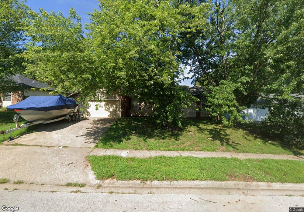
5683 S Ferguson Ave Springfield, MO 65810
Southwest Springfield NeighborhoodEstimated Value: $195,000 - $239,000
3
Beds
2
Baths
1,016
Sq Ft
$209/Sq Ft
Est. Value
About This Home
This home is located at 5683 S Ferguson Ave, Springfield, MO 65810 and is currently estimated at $212,444, approximately $209 per square foot. 5683 S Ferguson Ave is a home located in Greene County with nearby schools including Gray Elementary School, Wilson's Creek Intermediate School, and Cherokee Middle School.
Ownership History
Date
Name
Owned For
Owner Type
Purchase Details
Closed on
Apr 18, 2024
Sold by
Jenland Properties Llc
Bought by
Jenland Vii Llc
Current Estimated Value
Purchase Details
Closed on
Aug 12, 2006
Sold by
Duncan Theodore J
Bought by
Duncan Theodore J
Create a Home Valuation Report for This Property
The Home Valuation Report is an in-depth analysis detailing your home's value as well as a comparison with similar homes in the area
Home Values in the Area
Average Home Value in this Area
Purchase History
We collect this data history from publicly available records. To have your information removed, we recommend requesting removal directly through your county’s website.
| Date | Buyer | Sale Price | Title Company |
|---|---|---|---|
| Jenland Vii Llc | -- | None Listed On Document | |
| Duncan Theodore J | -- | None Available |
Source: Public Records
Tax History
| Year | Tax Paid | Tax Assessment Tax Assessment Total Assessment is a certain percentage of the fair market value that is determined by local assessors to be the total taxable value of land and additions on the property. | Land | Improvement |
|---|---|---|---|---|
| 2025 | $1,213 | $23,540 | $6,840 | $16,700 |
| 2024 | $1,174 | $21,200 | $5,470 | $15,730 |
| 2023 | $1,168 | $21,200 | $5,470 | $15,730 |
| 2022 | $1,026 | $19,090 | $5,470 | $13,620 |
| 2021 | $1,026 | $19,090 | $5,470 | $13,620 |
| 2020 | $1,004 | $17,710 | $5,470 | $12,240 |
| 2019 | $975 | $17,710 | $5,470 | $12,240 |
| 2018 | $1,011 | $18,330 | $5,470 | $12,860 |
| 2017 | $1,001 | $17,950 | $5,470 | $12,480 |
| 2016 | $981 | $17,950 | $5,470 | $12,480 |
| 2015 | $973 | $17,950 | $5,470 | $12,480 |
| 2014 | $945 | $17,290 | $5,470 | $11,820 |
Source: Public Records
Map
Nearby Homes
- 5204 S Nettleton Ave
- 5228 S Nettleton Ave
- 5216 S Nettleton Ave
- 5393 S Newton Ave
- 5381 S Newton Ave
- 1365 W Gaslight Dr
- 1165 W Gaslight Dr
- 1302 W Gaslight Dr
- 5796 S Parkhill Ave
- 1568 W Gaslight Dr
- 1532 W Gaslight Dr
- 1551 W Gaslight Dr
- 1563 W Gaslight Dr
- 5961 S Doubletree Ct
- 5619 S Lexington Ave
- 5637 S Lexington Ave
- 1632 W Gaslight Dr
- 5661 S Dayton Ave
- 1633 W Silver Oak Dr
- 1620 W Silver Oak Dr
- 5671 S Ferguson Ave
- 5695 S Ferguson Ave
- 5668 S Fort Ave
- 5661 S Ferguson Ave
- 5680 S Fort Ave
- 5705 S Ferguson Ave
- 5694 S Fort Ave
- 5682 S Ferguson Ave
- 5670 S Ferguson Ave
- 5694 S Ferguson Ave
- 5649 S Ferguson Ave
- 5715 S Ferguson Ave
- 5660 S Ferguson Ave
- 5704 S Ferguson Ave
- 1308 W Grayrock Dr
- 5648 S Ferguson Ave
- 5639 S Ferguson Ave
- 5714 S Ferguson Ave
- 5727 S Ferguson Ave
- 1352 W Evans St
Your Personal Tour Guide
Ask me questions while you tour the home.