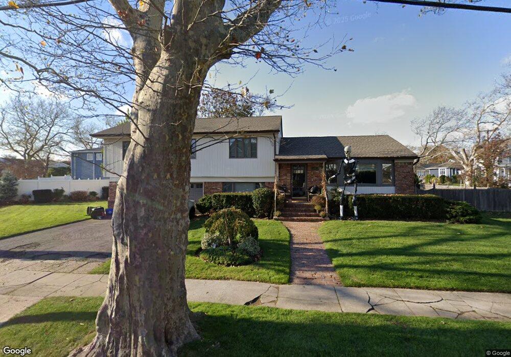
569 Freeman Ave Oceanside, NY 11572
Estimated Value: $903,563 - $962,000
Studio
3
Baths
1,710
Sq Ft
$545/Sq Ft
Est. Value
About This Home
This home is located at 569 Freeman Ave, Oceanside, NY 11572 and is currently estimated at $932,782, approximately $545 per square foot. 569 Freeman Ave is a home located in Nassau County with nearby schools including Boardman Elementary School, Oceanside Middle School, and Oceanside High School.
Ownership History
Date
Name
Owned For
Owner Type
Purchase Details
Closed on
Nov 22, 2022
Sold by
Strauss Elizabeth
Bought by
Strauss Joshua
Current Estimated Value
Home Financials for this Owner
Home Financials are based on the most recent Mortgage that was taken out on this home.
Original Mortgage
$520,000
Outstanding Balance
$504,255
Interest Rate
7.08%
Mortgage Type
Seller Take Back
Estimated Equity
$428,527
Purchase Details
Closed on
Feb 13, 2003
Sold by
Weiner Elizabeth
Purchase Details
Closed on
Aug 29, 2000
Create a Home Valuation Report for This Property
The Home Valuation Report is an in-depth analysis detailing your home's value as well as a comparison with similar homes in the area
Home Values in the Area
Average Home Value in this Area
Purchase History
We collect this data history from publicly available records. To have your information removed, we recommend requesting removal directly through your county’s website.
| Date | Buyer | Sale Price | Title Company |
|---|---|---|---|
| Strauss Joshua | $650,000 | Fidelity National Ttl Ins Co | |
| -- | -- | -- | |
| -- | -- | -- |
Source: Public Records
Mortgage History
We collect this data history from publicly available records. To have your information removed, we recommend requesting removal directly through your county’s website.
| Date | Status | Borrower | Loan Amount |
|---|---|---|---|
| Open | Strauss Joshua | $520,000 |
Source: Public Records
Tax History
| Year | Tax Paid | Tax Assessment Tax Assessment Total Assessment is a certain percentage of the fair market value that is determined by local assessors to be the total taxable value of land and additions on the property. | Land | Improvement |
|---|---|---|---|---|
| 2025 | $16,265 | $589 | $303 | $286 |
| 2024 | $4,553 | $568 | $292 | $276 |
Source: Public Records
Map
Nearby Homes
- 3379 Harold St
- 577 Waukena Ave
- 2961 Allon St
- 3420 Woodward St
- 2941 Moreland Ave
- 3454 Woodward St
- 3014 Davis Place
- 3483 Frederick St
- 613 Smith Place
- 3131 Brower Ave
- 2860 Sunnybrook Dr W
- 3522 Frederick St
- 3309 Skillman Ave
- 635 Arthur St
- 3124 Ralph Ave
- 3029 Ann St
- 3004 Harbor St
- 2941 Harvey Ave
- 3051 Grand Ave
- 2900 Grand Ave
- 3356 Frederick St
- 3376 Frederick St
- 3371 Frederick St
- 3363 Frederick St
- 3349 Knight St
- 3348 Frederick St
- 3384 Frederick St
- 3377 Frederick St
- 552 Freeman Ave
- 3355 Frederick St
- 3383 Frederick St
- 3343 Knight St
- 3390 Frederick St
- 3393 Knight St
- 3360 Knight St
- 3349 Frederick St
- 3385 Frederick St
- 3362 Harold St
- 3370 Harold St
- 3348 Knight St
Your Personal Tour Guide
Ask me questions while you tour the home.