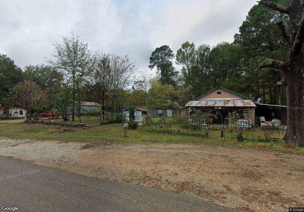
569 Hc 76 Eagletown, OK 74734
Estimated Value: $186,000 - $477,000
3
Beds
2
Baths
2,452
Sq Ft
$138/Sq Ft
Est. Value
About This Home
This home is located at 569 Hc 76, Eagletown, OK 74734 and is currently estimated at $339,333, approximately $138 per square foot. 569 Hc 76 is a home located in McCurtain County with nearby schools including Eagletown Elementary School and Eagletown High School.
Ownership History
Date
Name
Owned For
Owner Type
Purchase Details
Closed on
Mar 4, 2025
Sold by
Jerry And Cheryl Snider Revocable Trust and Snider Jerry
Bought by
Snider-Duren Carrie Lyn
Current Estimated Value
Purchase Details
Closed on
Aug 7, 2015
Sold by
Evans Janice B
Bought by
Snider Jerry and Snider Cgheryl
Home Financials for this Owner
Home Financials are based on the most recent Mortgage that was taken out on this home.
Original Mortgage
$90,000
Interest Rate
4.06%
Mortgage Type
Unknown
Purchase Details
Closed on
Jun 5, 1998
Sold by
Gates Terry and Gates Carol
Bought by
Snider Jerry and Snider Cheryl
Purchase Details
Closed on
Mar 16, 1998
Sold by
Gates Brandon N
Bought by
Gates Terry S and Gates Carol
Purchase Details
Closed on
Jan 3, 1995
Sold by
Taylor Thomas O
Bought by
Gates Brandon N
Create a Home Valuation Report for This Property
The Home Valuation Report is an in-depth analysis detailing your home's value as well as a comparison with similar homes in the area
Purchase History
| Date | Buyer | Sale Price | Title Company |
|---|---|---|---|
| Snider-Duren Carrie Lyn | -- | None Listed On Document | |
| Snider Jerry | $100,000 | None Available | |
| Snider Jerry | $330,000 | -- | |
| Gates Terry S | -- | -- | |
| Gates Brandon N | $285,000 | -- |
Source: Public Records
Mortgage History
| Date | Status | Borrower | Loan Amount |
|---|---|---|---|
| Previous Owner | Snider Jerry | $90,000 |
Source: Public Records
Tax History
| Year | Tax Paid | Tax Assessment Tax Assessment Total Assessment is a certain percentage of the fair market value that is determined by local assessors to be the total taxable value of land and additions on the property. | Land | Improvement |
|---|---|---|---|---|
| 2025 | $1,536 | $19,714 | $1,559 | $18,155 |
| 2024 | $2,278 | $28,758 | $1,513 | $27,245 |
| 2023 | $2,260 | $28,758 | $1,513 | $27,245 |
| 2022 | $2,261 | $28,758 | $1,513 | $27,245 |
| 2021 | $2,265 | $28,758 | $1,513 | $27,245 |
| 2020 | $2,257 | $28,396 | $963 | $27,433 |
| 2019 | $2,314 | $29,027 | $963 | $28,064 |
| 2018 | $2,429 | $30,096 | $963 | $29,133 |
| 2017 | $2,439 | $29,924 | $963 | $28,961 |
| 2016 | $2,484 | $30,362 | $964 | $29,398 |
| 2015 | $1,509 | $18,821 | $964 | $17,857 |
| 2014 | $1,609 | $18,821 | $964 | $17,857 |
Source: Public Records
Map
Nearby Homes
- 273 Main St
- 116 Sunfish Bay Ln
- D4821
- 33 River Otter Trail
- 24 Pine Warbler Trail
- 344 Fat Bass Trail
- 513 Turtle Trail
- 105 Green Mallard Trail
- 245 Green Mallard Trail
- 868 Red Fox Rd
- 657 Canoe Rd
- 732 Red Fox Rd
- 12 River Ln
- 153 Tigerfish Loop
- 256 Wild Goose Rd
- 14 Retreat Loop
- 188 River Landing Trail
- 0 Elm Dr Unit 21003878
- 310 White Fox Ln
- 2460 Bailey Rd
Your Personal Tour Guide
Ask me questions while you tour the home.