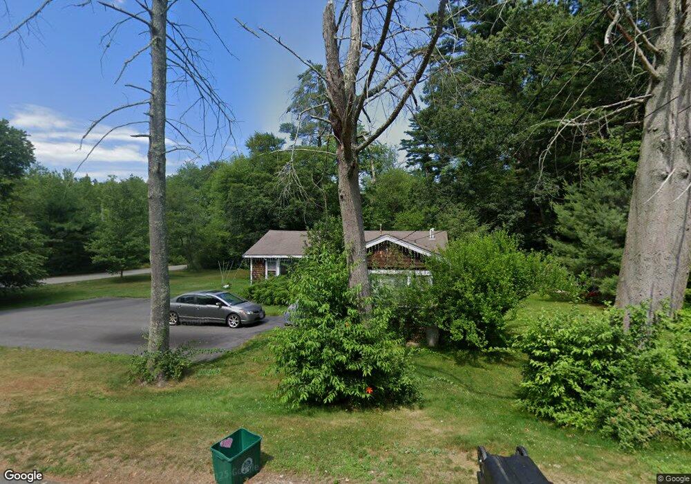
57 Annawon Dr Halifax, MA 02338
Estimated Value: $438,000 - $489,000
3
Beds
2
Baths
1,500
Sq Ft
$315/Sq Ft
Est. Value
About This Home
This home is located at 57 Annawon Dr, Halifax, MA 02338 and is currently estimated at $472,553, approximately $315 per square foot. 57 Annawon Dr is a home located in Plymouth County with nearby schools including Silver Lake Regional High School, Halifax Elementary School, and Silver Lake Regional Middle School.
Ownership History
Date
Name
Owned For
Owner Type
Purchase Details
Closed on
Sep 21, 2000
Sold by
Walsh David and Walsh Karyn
Bought by
Supple Donna M and Supple James
Current Estimated Value
Home Financials for this Owner
Home Financials are based on the most recent Mortgage that was taken out on this home.
Original Mortgage
$131,232
Interest Rate
8%
Mortgage Type
Purchase Money Mortgage
Purchase Details
Closed on
Feb 28, 1991
Sold by
Silvia Paula R
Bought by
Walsh David and Sanborn Karyn
Create a Home Valuation Report for This Property
The Home Valuation Report is an in-depth analysis detailing your home's value as well as a comparison with similar homes in the area
Home Values in the Area
Average Home Value in this Area
Purchase History
We collect this data history from publicly available records. To have your information removed, we recommend requesting removal directly through your county’s website.
| Date | Buyer | Sale Price | Title Company |
|---|---|---|---|
| Supple Donna M | $131,300 | -- | |
| Walsh David | $102,500 | -- |
Source: Public Records
Mortgage History
We collect this data history from publicly available records. To have your information removed, we recommend requesting removal directly through your county’s website.
| Date | Status | Borrower | Loan Amount |
|---|---|---|---|
| Open | Walsh David | $20,000 | |
| Open | Walsh David | $160,250 | |
| Closed | Walsh David | $131,232 | |
| Previous Owner | Walsh David | $76,300 |
Source: Public Records
Tax History
| Year | Tax Paid | Tax Assessment Tax Assessment Total Assessment is a certain percentage of the fair market value that is determined by local assessors to be the total taxable value of land and additions on the property. | Land | Improvement |
|---|---|---|---|---|
| 2025 | $5,336 | $373,900 | $175,200 | $198,700 |
| 2024 | $5,180 | $359,700 | $168,500 | $191,200 |
| 2023 | $5,003 | $336,200 | $163,600 | $172,600 |
| 2022 | $4,813 | $300,600 | $146,100 | $154,500 |
| 2021 | $4,448 | $255,800 | $140,400 | $115,400 |
| 2020 | $4,259 | $244,200 | $140,400 | $103,800 |
| 2019 | $8,067 | $231,000 | $136,300 | $94,700 |
| 2018 | $3,631 | $205,700 | $122,200 | $83,500 |
| 2017 | $7,826 | $198,400 | $122,200 | $76,200 |
| 2016 | $3,478 | $180,700 | $114,300 | $66,400 |
| 2015 | $3,431 | $180,700 | $114,300 | $66,400 |
Source: Public Records
Map
Nearby Homes
- 22 Madison Rd
- 101 Annawon Dr
- 630 Twin Lakes Dr
- 75 Crystal Lake Rd
- 111 Snow St
- 58 Maplewood Dr
- 6 Upton St
- 6 Forestdale Dr
- 267 Oak St
- 21 Parkwood Dr
- 20 Forestdale Dr
- 22 Ocean Ave
- 266 Monponsett St Unit 1105
- 266 Monponsett St Unit 1201
- 266 Monponsett St Unit 1101
- 266 Monponsett St Unit 1306
- 266 Monponsett St Unit 1209
- 47 Redwood Dr
- 52 Sycamore Dr
- 20 13th Ave
Your Personal Tour Guide
Ask me questions while you tour the home.