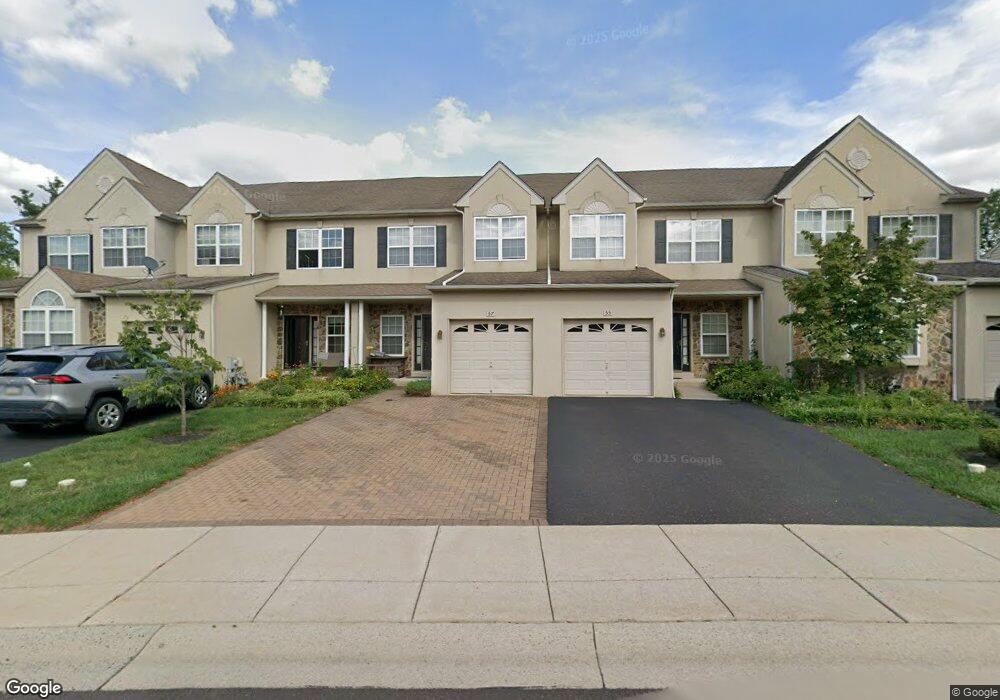
57 Arbor Cir Colmar, PA 18915
Estimated Value: $548,465 - $593,000
About This Home
This home is located at 57 Arbor Cir, Colmar, PA 18915 and is currently estimated at $568,616, approximately $199 per square foot. 57 Arbor Cir is a home located in Montgomery County with nearby schools including Bridle Path Elementary School, Penndale Middle School, and North Penn Senior High School.
Ownership History
We collect this data history from publicly available records. To have your information removed, we recommend requesting removal directly through your county’s website.
Purchase Details
Home Financials for this Owner
Home Financials are based on the most recent Mortgage that was taken out on this home.Purchase Details
Home Financials for this Owner
Home Financials are based on the most recent Mortgage that was taken out on this home.Purchase Details
Home Values in the Area
Average Home Value in this Area
Purchase History
We collect this data history from publicly available records. To have your information removed, we recommend requesting removal directly through your county’s website.
| Date | Buyer | Sale Price | Title Company |
|---|---|---|---|
| $391,386 | -- | ||
| $391,386 | -- | ||
| -- | Wheatland Title Guaranty Co |
Mortgage History
We collect this data history from publicly available records. To have your information removed, we recommend requesting removal directly through your county’s website.
| Date | Status | Borrower | Loan Amount |
|---|---|---|---|
| Closed | $100,000 | ||
| Closed | $100,000 |
Tax History
We collect this data history from publicly available records. To have your information removed, we recommend requesting removal directly through your county’s website.
| Year | Tax Paid | Tax Assessment Tax Assessment Total Assessment is a certain percentage of the fair market value that is determined by local assessors to be the total taxable value of land and additions on the property. | Land | Improvement |
|---|---|---|---|---|
| 2026 | $8,617 | $198,680 | -- | -- |
| 2025 | $7,953 | $198,680 | $57,000 | $141,680 |
| 2024 | $7,953 | $198,680 | $57,000 | $141,680 |
| 2023 | $7,613 | $198,680 | $57,000 | $141,680 |
| 2022 | $7,365 | $198,680 | $57,000 | $141,680 |
| 2021 | $7,156 | $198,680 | $57,000 | $141,680 |
| 2020 | $6,987 | $198,680 | $57,000 | $141,680 |
| 2019 | $6,870 | $198,680 | $57,000 | $141,680 |
| 2018 | $6,869 | $198,680 | $57,000 | $141,680 |
| 2017 | $6,608 | $198,680 | $57,000 | $141,680 |
| 2016 | $6,530 | $198,680 | $57,000 | $141,680 |
| 2015 | $6,269 | $198,680 | $57,000 | $141,680 |
| 2014 | $6,269 | $198,680 | $57,000 | $141,680 |
Map
- 2950 E Walnut St
- 83 Bethlehem Pike Unit 1109- LEWIS
- 83 Bethlehem Pike Unit 1112
- 83 Bethlehem Pike Unit 1308
- 83 Bethlehem Pike Unit 1306- HAMILTON
- 83 Bethlehem Pike Unit 1102- IVY FLOORPLAN
- 83 Bethlehem Pike Unit 1106- MADISON PLAN
- 125 Briarwood Ln
- 143 Briarwood Ln
- 13 Mele Ave
- 000 Lenape Dr
- 214 Broad Acres Rd
- 140 Woodland Dr
- 153 Country Club Dr
- 155 Country Club Dr
- 406 Bonnie Ln
- 235 Pinecrest Ln
- 2748 Valley Woods Rd
- 187 Pinecrest Ln
- 30 Andrew Ln
Ask me questions while you tour the home.