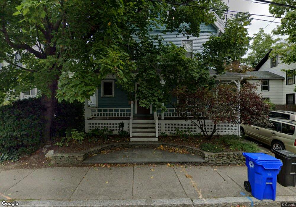
57 Perry St Brookline, MA 02446
Coolidge Corner NeighborhoodEstimated Value: $2,301,000 - $2,736,484
About This Home
This home is located at 57 Perry St, Brookline, MA 02446 and is currently estimated at $2,530,871, approximately $819 per square foot. 57 Perry St is a home located in Norfolk County with nearby schools including Amos A. Lawrence School, Brookline High School, and St. Mary of the Assumption Elementary School.
Ownership History
We collect this data history from publicly available records. To have your information removed, we recommend requesting removal directly through your county’s website.
Purchase Details
Home Financials for this Owner
Home Financials are based on the most recent Mortgage that was taken out on this home.Home Values in the Area
Average Home Value in this Area
Purchase History
We collect this data history from publicly available records. To have your information removed, we recommend requesting removal directly through your county’s website.
| Date | Buyer | Sale Price | Title Company |
|---|---|---|---|
| $335,000 | -- |
Mortgage History
We collect this data history from publicly available records. To have your information removed, we recommend requesting removal directly through your county’s website.
| Date | Status | Borrower | Loan Amount |
|---|---|---|---|
| Open | $216,000 | ||
| Closed | $227,000 | ||
| Closed | $268,000 |
Tax History
We collect this data history from publicly available records. To have your information removed, we recommend requesting removal directly through your county’s website.
| Year | Tax Paid | Tax Assessment Tax Assessment Total Assessment is a certain percentage of the fair market value that is determined by local assessors to be the total taxable value of land and additions on the property. | Land | Improvement |
|---|---|---|---|---|
| 2025 | $21,617 | $2,190,200 | $1,124,100 | $1,066,100 |
| 2024 | $20,745 | $2,123,300 | $1,080,900 | $1,042,400 |
| 2023 | $19,097 | $1,915,400 | $893,000 | $1,022,400 |
| 2022 | $18,589 | $1,824,200 | $850,500 | $973,700 |
| 2021 | $17,190 | $1,754,100 | $817,800 | $936,300 |
| 2020 | $15,743 | $1,665,900 | $743,400 | $922,500 |
| 2019 | $14,866 | $1,586,600 | $708,000 | $878,600 |
| 2018 | $13,485 | $1,425,500 | $558,300 | $867,200 |
| 2017 | $13,460 | $1,362,300 | $526,500 | $835,800 |
| 2016 | $13,267 | $1,273,200 | $492,100 | $781,100 |
| 2015 | $12,262 | $1,148,100 | $418,100 | $730,000 |
| 2014 | $12,429 | $1,091,200 | $380,100 | $711,100 |
Map
- 59 Saint Paul St Unit 26
- 99 Perry St Unit 6
- 19 Alton Ct Unit 2
- 19 Alton Ct Unit 1
- 19 Linden St
- 14 Linden St Unit 7
- 65 Francis St Unit A
- 148 Kent St Unit 148
- 21 Kent Square Unit 2
- 21 Kent Square Unit 1
- 58 Kent St Unit 302
- 58 Kent St Unit 403
- 58 Kent St Unit 404
- 58 Kent St Unit 304
- 152 Harvard St Unit 2
- 30 Stearns Rd Unit PHB
- 205 Kent St Unit 48
- 34 Station St Unit 3
- 23 Netherlands Rd Unit 1
- 63 Longwood Ave Unit 2
- 145 Aspinwall Ave
- 155 Aspinwall Ave
- 39 Perry St
- 39 Perry St Unit 2
- 39 Perry St Unit 1
- 39 Perry St Unit 3
- 135 Aspinwall Ave
- 37 Perry St Unit 3
- 37 Perry St Unit 2
- 37 Perry St Unit 1
- 87 Brook St
- 87 Brook St Unit 3
- 40 Perry St
- 40 Perry St Unit 3
- 40 Perry St
- 40 Perry St Unit 2
- 83 Brook St
- 83 Brook St Unit 2
- 83 Brook St Unit 1
- 83 Brook St
Ask me questions while you tour the home.