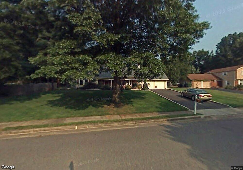
57 River Dr Marlboro, NJ 07746
Estimated Value: $751,000 - $797,000
5
Beds
3
Baths
2,383
Sq Ft
$325/Sq Ft
Est. Value
About This Home
This home is located at 57 River Dr, Marlboro, NJ 07746 and is currently estimated at $774,973, approximately $325 per square foot. 57 River Dr is a home located in Monmouth County with nearby schools including Marlboro Elementary School, Marlboro Middle School, and Marlboro High School.
Ownership History
Date
Name
Owned For
Owner Type
Purchase Details
Closed on
Mar 22, 2002
Sold by
Tanfield Brenda
Bought by
Como Scott and Como Erinn
Current Estimated Value
Home Financials for this Owner
Home Financials are based on the most recent Mortgage that was taken out on this home.
Original Mortgage
$240,000
Outstanding Balance
$94,702
Interest Rate
6.85%
Estimated Equity
$680,271
Create a Home Valuation Report for This Property
The Home Valuation Report is an in-depth analysis detailing your home's value as well as a comparison with similar homes in the area
Home Values in the Area
Average Home Value in this Area
Purchase History
| Date | Buyer | Sale Price | Title Company |
|---|---|---|---|
| Como Scott | $305,000 | -- |
Source: Public Records
Mortgage History
| Date | Status | Borrower | Loan Amount |
|---|---|---|---|
| Open | Como Scott | $240,000 |
Source: Public Records
Tax History
| Year | Tax Paid | Tax Assessment Tax Assessment Total Assessment is a certain percentage of the fair market value that is determined by local assessors to be the total taxable value of land and additions on the property. | Land | Improvement |
|---|---|---|---|---|
| 2025 | $10,308 | $413,300 | $203,400 | $209,900 |
| 2024 | $9,853 | $413,300 | $203,400 | $209,900 |
| 2023 | $9,853 | $413,300 | $203,400 | $209,900 |
| 2022 | $9,601 | $413,300 | $203,400 | $209,900 |
| 2021 | $9,506 | $413,300 | $203,400 | $209,900 |
| 2020 | $9,502 | $413,300 | $203,400 | $209,900 |
| 2019 | $9,506 | $413,300 | $203,400 | $209,900 |
| 2018 | $9,345 | $413,300 | $203,400 | $209,900 |
| 2017 | $9,163 | $413,300 | $203,400 | $209,900 |
| 2016 | $9,126 | $413,300 | $203,400 | $209,900 |
| 2015 | $8,872 | $407,900 | $203,400 | $204,500 |
| 2014 | $8,460 | $384,900 | $203,400 | $181,500 |
Source: Public Records
Map
Nearby Homes
Your Personal Tour Guide
Ask me questions while you tour the home.